14129 Brownsville Hwy NE Poulsbo, WA 98370
Estimated Value: $165,000
--
Bed
--
Bath
--
Sq Ft
0.89
Acres
About This Home
This home is located at 14129 Brownsville Hwy NE, Poulsbo, WA 98370 and is currently estimated at $165,000. 14129 Brownsville Hwy NE is a home located in Kitsap County with nearby schools including Hilder Pearson Elementary School, Poulsbo Middle School, and North Kitsap High School.
Ownership History
Date
Name
Owned For
Owner Type
Purchase Details
Closed on
Apr 4, 2008
Sold by
Banks Holly G
Bought by
Banks Barry R
Current Estimated Value
Purchase Details
Closed on
Dec 30, 1996
Sold by
Groutage F Dale and Groutage Nancy Ann
Bought by
Banks Barry R and Banks Holly G
Home Financials for this Owner
Home Financials are based on the most recent Mortgage that was taken out on this home.
Original Mortgage
$9,500
Outstanding Balance
$1,011
Interest Rate
7.53%
Mortgage Type
Seller Take Back
Estimated Equity
$163,989
Create a Home Valuation Report for This Property
The Home Valuation Report is an in-depth analysis detailing your home's value as well as a comparison with similar homes in the area
Home Values in the Area
Average Home Value in this Area
Purchase History
| Date | Buyer | Sale Price | Title Company |
|---|---|---|---|
| Banks Barry R | -- | Land Title Co | |
| Banks Barry R | $10,000 | Stewart Title Company |
Source: Public Records
Mortgage History
| Date | Status | Borrower | Loan Amount |
|---|---|---|---|
| Open | Banks Barry R | $9,500 |
Source: Public Records
Tax History Compared to Growth
Tax History
| Year | Tax Paid | Tax Assessment Tax Assessment Total Assessment is a certain percentage of the fair market value that is determined by local assessors to be the total taxable value of land and additions on the property. | Land | Improvement |
|---|---|---|---|---|
| 2026 | $1,354 | $150,780 | $126,070 | $24,710 |
| 2025 | $1,354 | $150,780 | $126,070 | $24,710 |
| 2024 | $1,334 | $154,110 | $127,340 | $26,770 |
| 2023 | $1,325 | $154,110 | $127,340 | $26,770 |
| 2022 | $1,271 | $132,880 | $106,110 | $26,770 |
| 2021 | $1,236 | $121,850 | $95,080 | $26,770 |
| 2020 | $1,177 | $117,600 | $90,830 | $26,770 |
| 2019 | $1,154 | $111,660 | $84,890 | $26,770 |
| 2018 | $935 | $84,850 | $70,740 | $14,110 |
| 2017 | $984 | $84,850 | $70,740 | $14,110 |
| 2016 | $1,074 | $84,850 | $70,740 | $14,110 |
| 2015 | $1,027 | $84,850 | $70,740 | $14,110 |
| 2014 | -- | $84,850 | $70,740 | $14,110 |
| 2013 | -- | $84,850 | $70,740 | $14,110 |
Source: Public Records
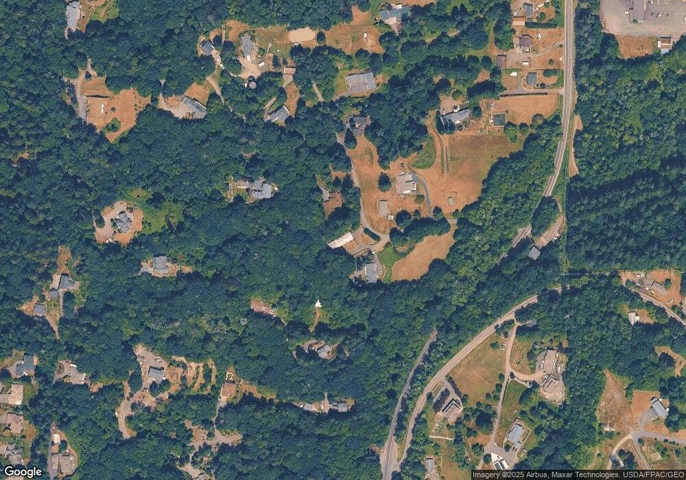
Map
Nearby Homes
- 1354 Hoffs Dr
- 2393 NE Trail Way
- 1533 NE Tagholm Rd
- 13977 Blackberry Ln NE
- 0 NE Solar View Ct
- 0 Brownsville Hwy NE Unit NWM2408193
- 1422 NW Swenson Ct
- 1922 NE Fir St
- 0 S Keyport Rd NE
- 15485 NE Peterson Rd
- 1312 NE South Petterson Rd
- 1314 NE South Petterson Rd
- 1954 NE Grandview Blvd
- 2331 NE Toscana Way
- 15739 Virginia Loop Rd NE
- 2331 Lot C+D NE Toscana Way
- 13600 Hillcrest St NW
- 0 xxxx Brownsville Hwy NE
- 15809 Virginia Point Rd NE
- 13083 Lake Shore Dr NW
- 1383 NE Hoffs Dr
- 1361 NE Hoff's Dr
- 1361 NE Hoffs Dr
- 14131 Brownsville Hwy NE
- 1386 NE Hoffs Dr
- 1386 NE Hoffs Dr
- 14127 Brownsville Hwy NE
- 1355 NE Hoffs Dr
- 14135 Brownsville Hwy NE
- 1376 NE Keyport Hills Dr
- 14151 Brownsville Hwy NE
- 14177 Brownsville Hwy NE
- 14159 Brownsville Hwy NE
- 13917 Brownsville Hwy NE
- 1390 Keyport Hills Dr
- 14275 Brownsville Hwy NE
- 14121 Brownsville Hwy NE
- 1348 NE Keyport Hills Dr
- 13849 Brownsville Hwy NE