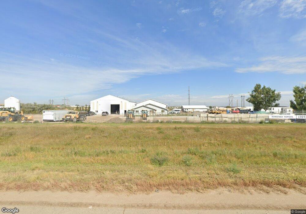
14129 Highway 2 Williston, ND 58801
Estimated Value: $447,000 - $530,000
Studio
--
Bath
--
Sq Ft
18,469
Sq Ft Lot
About This Home
This home is located at 14129 Highway 2, Williston, ND 58801 and is currently estimated at $488,541. 14129 Highway 2 is a home located in Williams County.
Ownership History
Date
Name
Owned For
Owner Type
Purchase Details
Closed on
Aug 18, 2014
Sold by
Sorenson Donald and Sorenson Carol
Bought by
Brewer Earl and Brewer Diana
Current Estimated Value
Home Financials for this Owner
Home Financials are based on the most recent Mortgage that was taken out on this home.
Original Mortgage
$325,395
Outstanding Balance
$245,106
Interest Rate
4.1%
Mortgage Type
VA
Estimated Equity
$243,435
Purchase Details
Closed on
Apr 1, 2005
Sold by
Anderson Myrtle G
Bought by
Mathews Scott E and Mathews Susan J
Home Financials for this Owner
Home Financials are based on the most recent Mortgage that was taken out on this home.
Original Mortgage
$152,750
Interest Rate
5.5%
Mortgage Type
FHA
Create a Home Valuation Report for This Property
The Home Valuation Report is an in-depth analysis detailing your home's value as well as a comparison with similar homes in the area
Home Values in the Area
Average Home Value in this Area
Purchase History
| Date | Buyer | Sale Price | Title Company |
|---|---|---|---|
| Brewer Earl | $375,000 | None Available | |
| Mathews Scott E | $154,000 | None Available |
Source: Public Records
Mortgage History
| Date | Status | Borrower | Loan Amount |
|---|---|---|---|
| Open | Brewer Earl | $325,395 | |
| Previous Owner | Mathews Scott E | $152,750 |
Source: Public Records
Tax History
| Year | Tax Paid | Tax Assessment Tax Assessment Total Assessment is a certain percentage of the fair market value that is determined by local assessors to be the total taxable value of land and additions on the property. | Land | Improvement |
|---|---|---|---|---|
| 2025 | $4,374 | $241,965 | $52,815 | $189,150 |
| 2024 | $4,133 | $229,235 | $52,815 | $176,420 |
| 2023 | $2,281 | $214,410 | $0 | $0 |
| 2022 | $3,621 | $199,825 | $0 | $0 |
| 2021 | $2,139 | $194,590 | $52,815 | $141,775 |
| 2020 | $3,467 | $195,000 | $52,800 | $142,200 |
| 2019 | $3,474 | $181,000 | $60,000 | $121,000 |
| 2018 | $3,322 | $174,000 | $36,950 | $137,050 |
| 2017 | $3,113 | $160,700 | $34,650 | $126,050 |
| 2016 | $2,889 | $180,300 | $34,650 | $145,650 |
| 2012 | -- | $121,100 | $15,250 | $105,850 |
Source: Public Records
Map
Nearby Homes
- 14038 Prairie Ln
- 14044 49th St NW
- 14275 Painted Woods Dr
- 14291 Painted Woods Dr
- 5418 Sunset Blvd
- 13932 Town & Country S
- 13927 Town and Country South Ct
- 14044 48th St NW
- 5081 Arrowhead Place
- 5062 Arrowhead Place
- Tbd Highway 2 & 85 West Hwy W
- 1801 36th Ave W
- TBD 32nd Ave W
- 410 32nd Ave W
- L9l1b23b30 Long Branch Ave
- L6l1b23b30 Long Branch Ave
- L10l1b23b3 Long Branch Ave
- L5l1b23b30 Long Branch Ave
- L20l1b23b3 Long Branch Ave
- L19l1b23b3 Long Branch Ave
- 14129 Highway 2
- 14129 Highway 2
- 14120 Highway 2
- 14145 Highway 2
- 14145 Highway 2
- 14149 Highway 2
- 4986 141st Ave NW
- 5031 141st Ave NW
- 5039 141st Ave NW
- 4982 141st Ave NW
- 4966 141st Ave NW
- 4966 141st Ave NW
- 4960 141st Ave NW
- 4958 141st Ave NW
- 4956 141st Ave NW
- 4952 141st Ave NW
- 4952 141st Ave NW
- 4952 141st Ave NW
- 4952 141st Ave NW
- 4952 141st Ave NW
Your Personal Tour Guide
Ask me questions while you tour the home.