1413 Baker Rd Shiloh, GA 31826
Estimated Value: $253,000 - $375,527
3
Beds
2
Baths
1,612
Sq Ft
$195/Sq Ft
Est. Value
About This Home
This home is located at 1413 Baker Rd, Shiloh, GA 31826 and is currently estimated at $315,132, approximately $195 per square foot. 1413 Baker Rd is a home located in Harris County with nearby schools including Park Elementary School, Harris County Carver Middle School, and Creekside School.
Ownership History
Date
Name
Owned For
Owner Type
Purchase Details
Closed on
Jan 9, 2025
Sold by
Bell Russell K
Bought by
Bell Mary Anne and Bell Russell K
Current Estimated Value
Purchase Details
Closed on
Dec 1, 2006
Sold by
Wallace Lois W
Bought by
Bell Russell K
Home Financials for this Owner
Home Financials are based on the most recent Mortgage that was taken out on this home.
Original Mortgage
$203,000
Interest Rate
6.29%
Mortgage Type
New Conventional
Purchase Details
Closed on
May 22, 1997
Bought by
Wallace Lois W
Create a Home Valuation Report for This Property
The Home Valuation Report is an in-depth analysis detailing your home's value as well as a comparison with similar homes in the area
Purchase History
| Date | Buyer | Sale Price | Title Company |
|---|---|---|---|
| Bell Mary Anne | -- | -- | |
| Bell Russell K | $203,000 | -- | |
| Wallace Lois W | $86,500 | -- |
Source: Public Records
Mortgage History
| Date | Status | Borrower | Loan Amount |
|---|---|---|---|
| Previous Owner | Bell Russell K | $203,000 |
Source: Public Records
Tax History
| Year | Tax Paid | Tax Assessment Tax Assessment Total Assessment is a certain percentage of the fair market value that is determined by local assessors to be the total taxable value of land and additions on the property. | Land | Improvement |
|---|---|---|---|---|
| 2025 | $149 | $118,273 | $43,665 | $74,608 |
| 2024 | $149 | $88,880 | $20,561 | $68,319 |
| 2023 | $1,955 | $88,976 | $20,561 | $68,415 |
| 2022 | $2,416 | $88,976 | $20,561 | $68,415 |
| 2021 | $2,200 | $78,064 | $20,561 | $57,503 |
| 2020 | $2,200 | $78,064 | $20,561 | $57,503 |
| 2019 | $1,955 | $71,792 | $20,561 | $51,231 |
| 2018 | $1,995 | $71,792 | $20,561 | $51,231 |
| 2017 | $1,996 | $71,792 | $20,561 | $51,231 |
| 2016 | $1,779 | $69,892 | $20,561 | $49,330 |
| 2015 | $1,783 | $69,892 | $20,561 | $49,330 |
| 2014 | $1,786 | $69,892 | $20,561 | $49,330 |
| 2013 | -- | $69,891 | $20,561 | $49,330 |
Source: Public Records
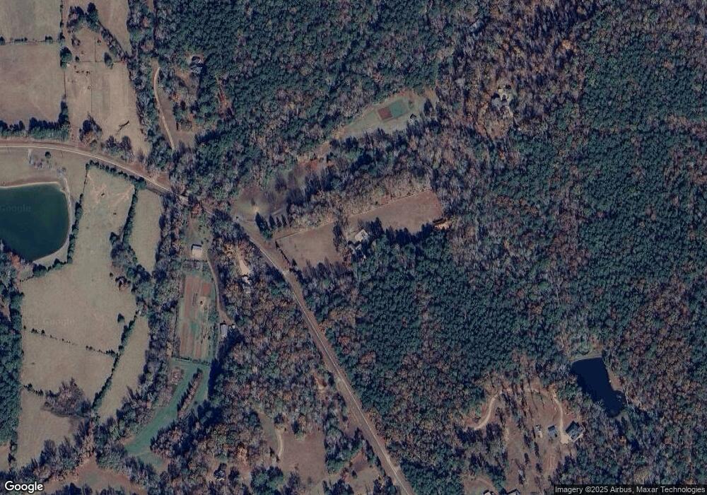
Map
Nearby Homes
- 19110 Ga Highway 116
- 21401 Ga Highway 116
- 2.83 ACRES Williams Rd
- 1251 S L St
- 0 Brown Creek Rd Unit 10702900
- 0 Brown Creek Rd Unit 10671738
- 723 Brown Creek Rd
- 299 S L St
- 2.03 Acres Johnson Mill Rd
- 000 Brown Creek Rd
- 180.14 Ac Johnson Mill Rd
- 2.03 AC Johnson Mill Rd
- 180.14 Johnson Mill Rd
- 180.14 AC Johnson Mill Rd
- 216 Oak Dr
- 244 Lake Dr
- LOT 1 & LOT 15 Mountain Ridge Dr
- LOT 19 Mountain Ridge Dr
- 185 Royal Lodge Dr
- 207 Westgate Cir
- 1345 Baker Rd
- 710 Baker Rd
- 1591 Baker Rd
- 1605 Baker Rd
- 1356 Baker Rd
- 1271 Baker Rd
- 1610 Baker Rd
- 1508 Baker Rd
- 1917 Baker Rd
- 1160 Baker Rd
- 1864 Baker Rd
- 642 Jc Reynolds Rd
- 370 Bob Grant Dr
- 370 Bob Grant Dr
- 710 Jc Reynolds Rd
- 634 Jc Reynolds Rd
- 280 Bob Grant Dr
- 986 Baker Rd
- 512 Jc Reynolds Rd
- 985 Baker Rd
Your Personal Tour Guide
Ask me questions while you tour the home.