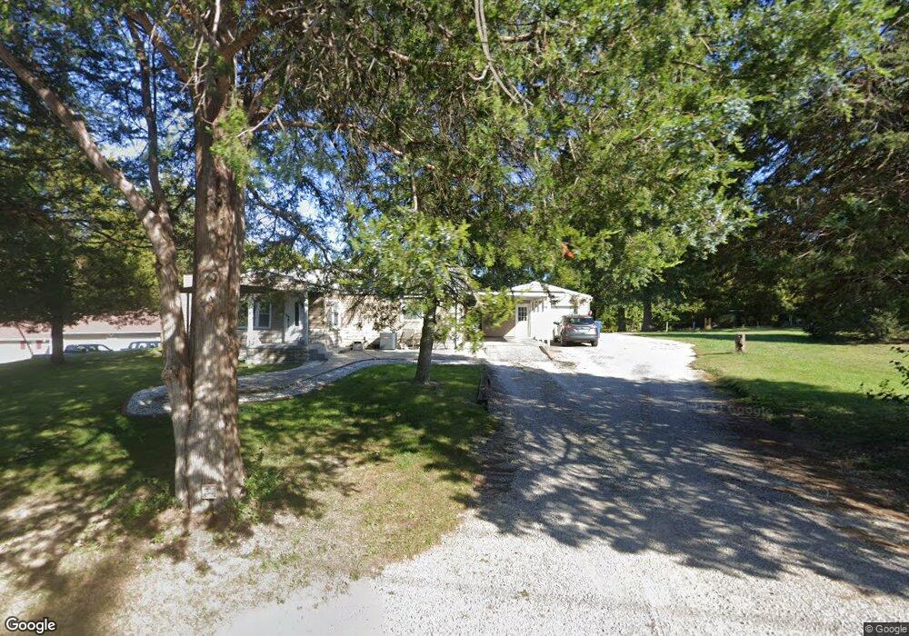
1413 Belt Line Rd Collinsville, IL 62234
Estimated Value: $138,000 - $154,000
4
Beds
1
Bath
1,199
Sq Ft
$122/Sq Ft
Est. Value
About This Home
This home is located at 1413 Belt Line Rd, Collinsville, IL 62234 and is currently estimated at $145,844, approximately $121 per square foot. 1413 Belt Line Rd is a home located in Madison County with nearby schools including John A Renfro Elementary School, Dorris Intermediate School, and Collinsville Middle School.
Ownership History
Date
Name
Owned For
Owner Type
Purchase Details
Closed on
Oct 19, 2006
Sold by
Cozlar Frances E
Bought by
Carlisle James Timothy and Carlisle Carrie L
Current Estimated Value
Home Financials for this Owner
Home Financials are based on the most recent Mortgage that was taken out on this home.
Original Mortgage
$70,000
Outstanding Balance
$41,585
Interest Rate
6.38%
Mortgage Type
Purchase Money Mortgage
Estimated Equity
$104,259
Create a Home Valuation Report for This Property
The Home Valuation Report is an in-depth analysis detailing your home's value as well as a comparison with similar homes in the area
Home Values in the Area
Average Home Value in this Area
Purchase History
| Date | Buyer | Sale Price | Title Company |
|---|---|---|---|
| Carlisle James Timothy | $79,000 | Town & Country Title Co |
Source: Public Records
Mortgage History
| Date | Status | Borrower | Loan Amount |
|---|---|---|---|
| Open | Carlisle James Timothy | $70,000 |
Source: Public Records
Tax History Compared to Growth
Tax History
| Year | Tax Paid | Tax Assessment Tax Assessment Total Assessment is a certain percentage of the fair market value that is determined by local assessors to be the total taxable value of land and additions on the property. | Land | Improvement |
|---|---|---|---|---|
| 2024 | $2,692 | $49,630 | $17,880 | $31,750 |
| 2023 | $2,692 | $45,940 | $16,550 | $29,390 |
| 2022 | $2,545 | $42,480 | $15,300 | $27,180 |
| 2021 | $2,227 | $39,410 | $14,080 | $25,330 |
| 2020 | $2,140 | $37,600 | $13,430 | $24,170 |
| 2019 | $2,077 | $36,310 | $12,970 | $23,340 |
| 2018 | $2,029 | $34,400 | $12,290 | $22,110 |
| 2017 | $1,770 | $30,170 | $9,990 | $20,180 |
| 2016 | $1,868 | $30,170 | $9,990 | $20,180 |
| 2015 | $1,733 | $29,390 | $9,730 | $19,660 |
| 2014 | $1,733 | $29,390 | $9,730 | $19,660 |
| 2013 | $1,733 | $29,390 | $9,730 | $19,660 |
Source: Public Records
Map
Nearby Homes
- 10 White Lily Dr
- 414 Bunker Hill Dr
- 22 Brookwood Dr
- 5 Brookwood Dr
- 0 N Keebler Ave
- 2007 Belt Line Rd
- 1224 Cedar Ridge Ct
- 203 Greenfield Dr
- 1121 Carraway Ct
- 1120 Williams St
- 1059 Lafayette Ct Unit A
- 1035 Lafayette Ct Unit B
- 1051 Lafayette Ct Unit A
- 308 Brown Ave
- 625 W Country Ln
- 1210 Constance St
- 123 Elliot St
- 0 Strong Ave
- 617 N Morrison Ave
- 123 W Wickliffe Ave
- 1411 Belt Line Rd
- 1415 Belt Line Rd
- 30 Carnation Dr
- 1409 Belt Line Rd
- 26 Carnation Dr
- 116 Eagle Creek
- 24 Carnation Dr
- 36 Carnation Dr
- 1405 Belt Line Rd
- 27 Carnation Dr
- 1403 Belt Line Rd
- 105 Eagle Creek
- 109 Eagle Creek
- 106 Eagle Creek
- 102 Eagle Creek Unit 102
- 101 Eagle Creek
- 40 Carnation Dr
- 443 Chapel Dr
- 441 Chapel Dr
- 445 Chapel Dr