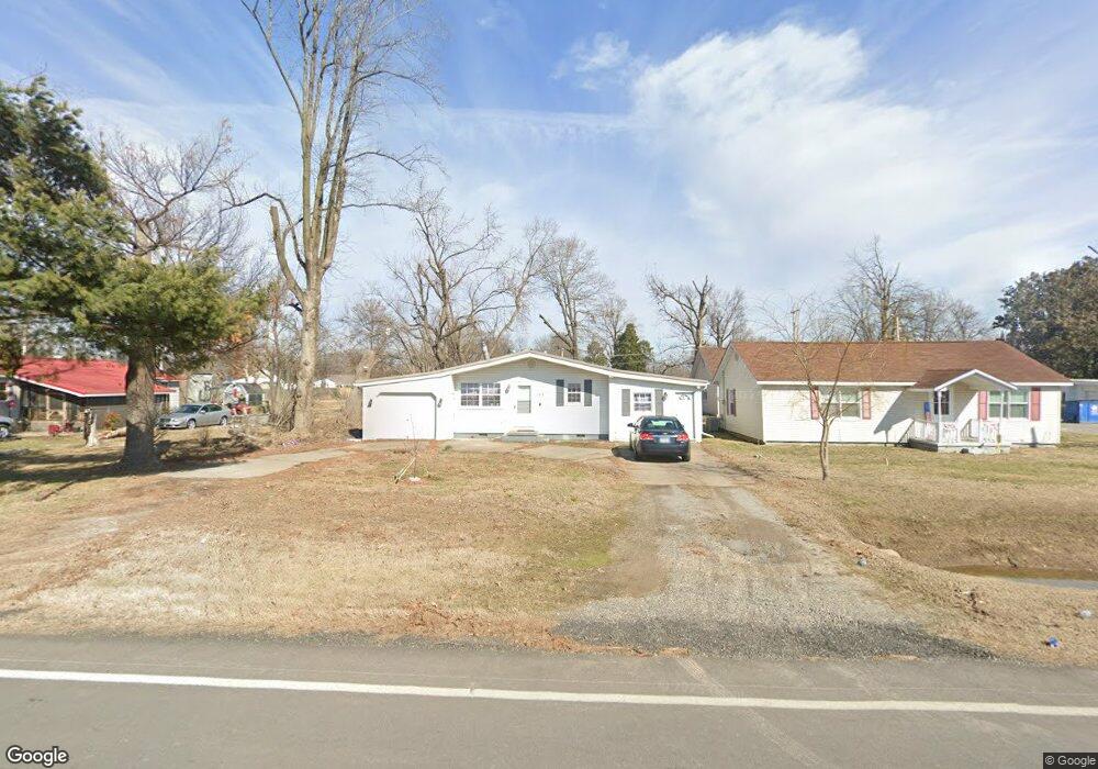
1413 E State Highway 114 Dexter, MO 63841
Estimated Value: $87,000 - $108,000
2
Beds
2
Baths
906
Sq Ft
$108/Sq Ft
Est. Value
About This Home
This home is located at 1413 E State Highway 114, Dexter, MO 63841 and is currently estimated at $98,052, approximately $108 per square foot. 1413 E State Highway 114 is a home with nearby schools including Southwest Elementary School, Central Elementary School, and T.S. Hill Middle School.
Ownership History
Date
Name
Owned For
Owner Type
Purchase Details
Closed on
Jul 23, 2020
Sold by
Huffman Wade M and Huffman Stephanie N
Bought by
Taylor Diana C and Kent Kyle Andrew
Current Estimated Value
Home Financials for this Owner
Home Financials are based on the most recent Mortgage that was taken out on this home.
Original Mortgage
$67,900
Outstanding Balance
$60,321
Interest Rate
3.2%
Mortgage Type
New Conventional
Estimated Equity
$37,731
Create a Home Valuation Report for This Property
The Home Valuation Report is an in-depth analysis detailing your home's value as well as a comparison with similar homes in the area
Home Values in the Area
Average Home Value in this Area
Purchase History
| Date | Buyer | Sale Price | Title Company |
|---|---|---|---|
| Taylor Diana C | $84,875 | National Title & Escrow Inc |
Source: Public Records
Mortgage History
| Date | Status | Borrower | Loan Amount |
|---|---|---|---|
| Open | Taylor Diana C | $67,900 |
Source: Public Records
Tax History
| Year | Tax Paid | Tax Assessment Tax Assessment Total Assessment is a certain percentage of the fair market value that is determined by local assessors to be the total taxable value of land and additions on the property. | Land | Improvement |
|---|---|---|---|---|
| 2025 | $467 | $10,849 | $0 | $0 |
| 2024 | $5 | $10,089 | $0 | $0 |
| 2023 | $466 | $10,089 | $0 | $0 |
| 2022 | $440 | $9,538 | $0 | $0 |
| 2021 | $440 | $9,538 | $0 | $0 |
| 2020 | $413 | $8,759 | $0 | $0 |
| 2019 | $412 | $8,892 | $0 | $0 |
| 2018 | $403 | $8,759 | $0 | $0 |
| 2016 | $387 | $8,683 | $0 | $0 |
| 2015 | -- | $8,683 | $0 | $0 |
| 2014 | -- | $8,664 | $0 | $0 |
| 2013 | -- | $0 | $0 | $0 |
Source: Public Records
Map
Nearby Homes
- 106 Mccormick St
- 1504 E Stoddard St
- 1506 E Stoddard St
- 104 McClard St
- 1111 Maple St
- 1603 E Stoddard St
- 4 Mcnair St
- 111 N Nelson Ave
- 324 Vine St
- 402 Damon St
- 121 S Poplar St
- 327 S Elm St
- 708 N Hickory St
- 128 S Mulberry St
- 106 W Grant St
- 0 N Hickory St Unit MIS25080979
- 345 S Catalpa St
- 902 N Poplar St
- 910 Carney St
- 728 N Locust St
- 1415 E State Highway 114
- 1409 E State Highway 114
- 1412 Olive St
- 1406 Olive St
- 307 Day Ave
- 1511 E State Highway 114
- 305 Day Ave
- 1417 Olive St
- 301 Day Ave
- 1411 Olive St
- 1403 Olive St
- 204 Day Ave
- 1513 E State Highway 114
- 211 Day Ave
- 1311 Olive St
- 209 Day Ave
- 220 S Park St
- 220 S Park Ave
- 1515 E State Highway 114
- 1309 Olive St
Your Personal Tour Guide
Ask me questions while you tour the home.