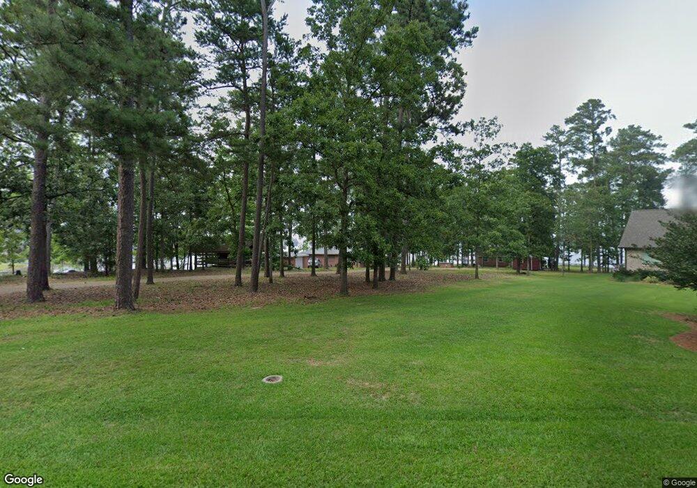
1413 Misty Cir Gilbert, SC 29054
Estimated Value: $429,180 - $546,000
1
Bed
1
Bath
1,040
Sq Ft
$473/Sq Ft
Est. Value
About This Home
This home is located at 1413 Misty Cir, Gilbert, SC 29054 and is currently estimated at $491,545, approximately $472 per square foot. 1413 Misty Cir is a home with nearby schools including Centerville Elementary School, Gilbert Primary School, and Gilbert Middle School.
Ownership History
Date
Name
Owned For
Owner Type
Purchase Details
Closed on
Jan 15, 2025
Sold by
Beach Russell Lynn and Beach Melissa Kelly
Bought by
Beach Ross K
Current Estimated Value
Purchase Details
Closed on
Oct 27, 2021
Sold by
Lynn Beach Russell
Bought by
Beach Russell Lynn and Beach Melisa Kelly
Purchase Details
Closed on
Jun 30, 2016
Sold by
Beach Iii Ralph C
Bought by
Beach Russell L
Purchase Details
Closed on
Dec 30, 2002
Sold by
Beach Ralph C Iii
Bought by
Beach Ralph C Jr
Create a Home Valuation Report for This Property
The Home Valuation Report is an in-depth analysis detailing your home's value as well as a comparison with similar homes in the area
Home Values in the Area
Average Home Value in this Area
Purchase History
| Date | Buyer | Sale Price | Title Company |
|---|---|---|---|
| Beach Ross K | -- | None Listed On Document | |
| Beach Ross K | -- | None Listed On Document | |
| Beach Russell Lynn | -- | Whitworth & Associates | |
| Beach Russell L | -- | None Available | |
| Beach Ralph C Jr | $32,270 | -- |
Source: Public Records
Tax History Compared to Growth
Tax History
| Year | Tax Paid | Tax Assessment Tax Assessment Total Assessment is a certain percentage of the fair market value that is determined by local assessors to be the total taxable value of land and additions on the property. | Land | Improvement |
|---|---|---|---|---|
| 2024 | $7,795 | $15,724 | $13,250 | $2,474 |
| 2023 | $7,795 | $15,724 | $13,250 | $2,474 |
| 2022 | $7,496 | $15,724 | $13,250 | $2,474 |
| 2020 | $7,539 | $15,724 | $13,250 | $2,474 |
| 2019 | $6,778 | $13,673 | $10,560 | $3,113 |
| 2018 | $6,731 | $13,673 | $10,560 | $3,113 |
| 2017 | $6,618 | $13,673 | $10,560 | $3,113 |
| 2016 | $6,272 | $13,364 | $10,323 | $3,041 |
| 2014 | $5,054 | $11,622 | $8,006 | $3,616 |
| 2013 | -- | $11,620 | $8,010 | $3,610 |
Source: Public Records
Map
Nearby Homes
- 0 Misty Cir Unit 566318
- 1620 Deep Cove Ln
- 1305 Rock Island Rd
- 1324 Martins Camp Ln
- 870 Shore Rd
- 113 Shull Fork Ct
- 1366 Camping Rd
- 1331 Camping Rd
- 839 Foxden Rd
- 157 Blue Wing Dr
- 1223 Shull Island Rd
- 1148 Shull Island Rd
- 153 Pintail Lake Dr
- 102 Hideaway Cove Ct
- 1459 & 1457 Bombing Range Rd
- 523 Radnor Hunt Ct
- 501 Canasta Dr
- 274 Pintail Lake Dr
- 307 Kimberton Dr
- 110 Wood Duck Dr
- 1417 Misty Cir
- 1421 Misty Cir
- 1409 Misty Cir
- 0 Misty Cir Unit 547646
- 1430 Misty Cir
- 1348 Misty Ln
- 1348 Misty Ln Unit ID1239369P
- 1348 Misty Ln Unit ID1239381P
- 1348 Misty Ln Unit ID1239358P
- 1437 Misty Cir
- 1356 Misty Ln
- 1360 Misty Ln
- 1362 Misty Ln
- 1346 Misty Ln
- 1439 Misty Cir
- 1364 Misty Ln
- 1440 Misty Cir
- 1443 Misty Cir
- 1344 Misty Ln
- 1351 Misty Ln