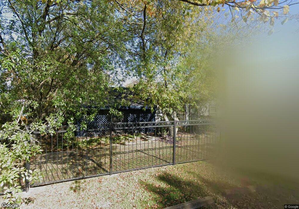
1413 Skinner Rd Houston, TX 77093
Eastex-Jensen NeighborhoodEstimated Value: $260,000 - $319,000
3
Beds
2
Baths
1,760
Sq Ft
$160/Sq Ft
Est. Value
About This Home
This home is located at 1413 Skinner Rd, Houston, TX 77093 and is currently estimated at $280,769, approximately $159 per square foot. 1413 Skinner Rd is a home located in Harris County with nearby schools including Coop Elementary School, Patrick Henry Middle School, and Sam Houston Math, Science & Technology Center.
Ownership History
Date
Name
Owned For
Owner Type
Purchase Details
Closed on
Jan 30, 1995
Sold by
Snider Michael Ernest and Snider Susan Jean
Bought by
Jones Keith L and Jones Angela D
Current Estimated Value
Home Financials for this Owner
Home Financials are based on the most recent Mortgage that was taken out on this home.
Original Mortgage
$52,250
Interest Rate
9.13%
Create a Home Valuation Report for This Property
The Home Valuation Report is an in-depth analysis detailing your home's value as well as a comparison with similar homes in the area
Home Values in the Area
Average Home Value in this Area
Purchase History
| Date | Buyer | Sale Price | Title Company |
|---|---|---|---|
| Jones Keith L | -- | -- |
Source: Public Records
Mortgage History
| Date | Status | Borrower | Loan Amount |
|---|---|---|---|
| Closed | Jones Keith L | $52,250 |
Source: Public Records
Tax History Compared to Growth
Tax History
| Year | Tax Paid | Tax Assessment Tax Assessment Total Assessment is a certain percentage of the fair market value that is determined by local assessors to be the total taxable value of land and additions on the property. | Land | Improvement |
|---|---|---|---|---|
| 2025 | $2,167 | $238,453 | $138,888 | $99,565 |
| 2024 | $2,167 | $273,892 | $130,080 | $143,812 |
| 2023 | $2,167 | $224,579 | $101,625 | $122,954 |
| 2022 | $3,294 | $183,610 | $84,688 | $98,922 |
| 2021 | $3,169 | $148,532 | $60,975 | $87,557 |
| 2020 | $2,994 | $141,861 | $60,975 | $80,886 |
| 2019 | $2,844 | $141,861 | $60,975 | $80,886 |
| 2018 | $1,777 | $102,169 | $46,748 | $55,421 |
| 2017 | $2,583 | $102,169 | $46,748 | $55,421 |
| 2016 | $2,583 | $102,169 | $46,748 | $55,421 |
| 2015 | $1,651 | $93,700 | $29,700 | $64,000 |
| 2014 | $1,651 | $93,700 | $29,700 | $64,000 |
Source: Public Records
Map
Nearby Homes
- 1002 Grenfell Ln
- 10022 E Hardy Rd
- 1829 Skinner Rd
- 9910 E Hardy Rd
- 11514 Courtshire Rd
- 10514 Exeter St
- 11314 Courtshire Rd
- 10512 Exeter St
- 1908 Little York Rd
- 1802 Kowis St
- 11026 Catamore St
- 11018 Catamore St
- 513 Mayford St
- 606 Cresline St
- 11334 Carla St
- 401 Cresline St
- 1930 Cromwell St
- 11110 E Hardy Rd
- 2122 Kowis St
- 11320 Stonework Garden Ln
- 1417 Skinner Rd
- 1419 Skinner Rd
- 1421 Skinner Rd
- 1416 Skinner Rd
- 1423 Skinner Rd
- 1420 Skinner Rd
- 10554 E Hardy Rd
- 1515 Skinner Rd
- 1518 Skinner Rd
- 1519 Skinner Rd
- 1521 Skinner Rd
- 1523 Skinner Rd
- 1527 Skinner Rd
- 10536 E Hardy Rd
- 1530 Skinner Rd
- 1533 Skinner Rd
- 1534 Skinner Rd
- 10524 E Hardy Rd
- 920 Benbrook Dr
- 10518 E Hardy Rd