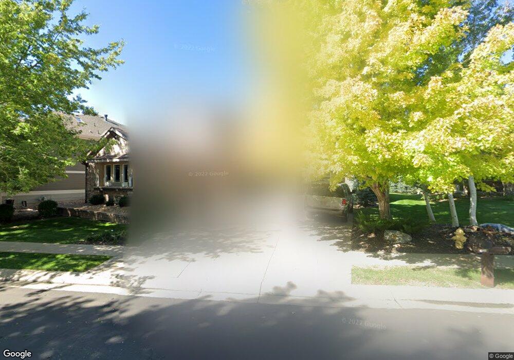
14133 Whitney Cir Broomfield, CO 80023
Broadlands NeighborhoodEstimated Value: $1,204,366 - $1,319,000
4
Beds
5
Baths
5,476
Sq Ft
$231/Sq Ft
Est. Value
About This Home
This home is located at 14133 Whitney Cir, Broomfield, CO 80023 and is currently estimated at $1,263,592, approximately $230 per square foot. 14133 Whitney Cir is a home located in Broomfield County with nearby schools including Meridian Elementary School, Westlake Middle School, and Legacy High School.
Ownership History
Date
Name
Owned For
Owner Type
Purchase Details
Closed on
Sep 23, 2013
Sold by
Rupp Dale S and Rupp Roxanne E
Bought by
Lewis Richard B and Lewis Racquel B
Current Estimated Value
Home Financials for this Owner
Home Financials are based on the most recent Mortgage that was taken out on this home.
Original Mortgage
$413,359
Outstanding Balance
$309,071
Interest Rate
4.45%
Mortgage Type
FHA
Estimated Equity
$954,521
Purchase Details
Closed on
Sep 6, 2001
Sold by
Northland Land Syndicate
Bought by
Community Development Group
Create a Home Valuation Report for This Property
The Home Valuation Report is an in-depth analysis detailing your home's value as well as a comparison with similar homes in the area
Home Values in the Area
Average Home Value in this Area
Purchase History
| Date | Buyer | Sale Price | Title Company |
|---|---|---|---|
| Lewis Richard B | $660,000 | Fidelity National Title Insu | |
| Community Development Group | $593,500 | -- |
Source: Public Records
Mortgage History
| Date | Status | Borrower | Loan Amount |
|---|---|---|---|
| Open | Lewis Richard B | $413,359 |
Source: Public Records
Tax History Compared to Growth
Tax History
| Year | Tax Paid | Tax Assessment Tax Assessment Total Assessment is a certain percentage of the fair market value that is determined by local assessors to be the total taxable value of land and additions on the property. | Land | Improvement |
|---|---|---|---|---|
| 2025 | $8,452 | $75,720 | $18,490 | $57,230 |
| 2024 | $8,452 | $73,260 | $16,870 | $56,390 |
| 2023 | $8,382 | $79,820 | $18,380 | $61,440 |
| 2022 | $7,227 | $58,820 | $13,990 | $44,830 |
| 2021 | $7,450 | $60,510 | $14,390 | $46,120 |
| 2020 | $7,399 | $59,400 | $14,590 | $44,810 |
| 2019 | $7,403 | $59,820 | $14,690 | $45,130 |
| 2018 | $7,168 | $55,770 | $12,170 | $43,600 |
| 2017 | $6,583 | $61,660 | $13,450 | $48,210 |
| 2016 | $6,639 | $54,930 | $9,680 | $45,250 |
| 2015 | $6,638 | $48,850 | $9,680 | $39,170 |
| 2014 | $6,140 | $48,850 | $9,680 | $39,170 |
Source: Public Records
Map
Nearby Homes
- 13872 Legend Way Unit 101
- 3577 Molly Cir Unit 3577
- 3767 Jenny Ln
- 13859 Legend Trail Unit 103
- 13973 Pinehurst Cir
- 13965 Sandtrap Cir
- 14039 Park Cove Dr
- 3822 Broadmoor Loop
- 13756 Legend Trail Unit 101
- 13895 Sandtrap Cir
- 14075 Turnberry Ct
- 14020 Park Cove Dr
- 13896 Muirfield Ct
- 14330 Lakeview Ln
- 14214 Lakeview Ln
- 4402 Calloway Ct
- 4340 Nelson Dr
- 4405 Fairway Ln
- 13755 Troon Ct
- 13676 Rock Point Unit 101
- 14129 Whitney Cir
- 14125 Whitney Cir
- 14134 Whitney Cir
- 14141 Whitney Cir
- 14130 Whitney Cir
- 14138 Whitney Cir
- 14142 Whitney Cir
- 14126 Whitney Cir
- 14121 Whitney Cir
- 14145 Whitney Cir
- 3215 Madison Ct
- 14162 Whitney Cir
- 3202 Madison Ct
- 14122 Whitney Cir
- 3211 Madison Ct
- 14166 Whitney Cir
- 14117 Whitney Cir
- 14149 Whitney Cir
- 3184 Madison Ct
- 14170 Whitney Cir