14136 Deer Path Buchanan, MI 49107
Estimated Value: $278,000 - $326,000
Studio
--
Bath
--
Sq Ft
123,275
Sq Ft Lot
About This Home
This home is located at 14136 Deer Path, Buchanan, MI 49107 and is currently estimated at $303,333. 14136 Deer Path is a home with nearby schools including Ottawa Elementary School, Moccasin Elementary School, and Buchanan Middle School.
Ownership History
Date
Name
Owned For
Owner Type
Purchase Details
Closed on
Jan 20, 2023
Sold by
Loenser Ricki
Bought by
Loenser Family Trust
Current Estimated Value
Purchase Details
Closed on
Jan 18, 2023
Sold by
Loenser Ricki
Bought by
Loenser Family Trust and Loenser
Purchase Details
Closed on
May 17, 2022
Sold by
Harvey Farms Llc
Bought by
Loenser Ricki
Home Financials for this Owner
Home Financials are based on the most recent Mortgage that was taken out on this home.
Original Mortgage
$124,000
Interest Rate
4.67%
Mortgage Type
Balloon
Create a Home Valuation Report for This Property
The Home Valuation Report is an in-depth analysis detailing your home's value as well as a comparison with similar homes in the area
Home Values in the Area
Average Home Value in this Area
Purchase History
| Date | Buyer | Sale Price | Title Company |
|---|---|---|---|
| Loenser Family Trust | -- | -- | |
| Loenser Family Trust | -- | None Listed On Document | |
| Loenser Ricki | $155,000 | None Listed On Document |
Source: Public Records
Mortgage History
| Date | Status | Borrower | Loan Amount |
|---|---|---|---|
| Previous Owner | Loenser Ricki | $124,000 |
Source: Public Records
Tax History
| Year | Tax Paid | Tax Assessment Tax Assessment Total Assessment is a certain percentage of the fair market value that is determined by local assessors to be the total taxable value of land and additions on the property. | Land | Improvement |
|---|---|---|---|---|
| 2025 | $4,163 | $124,300 | $0 | $0 |
| 2024 | $3,684 | $116,700 | $0 | $0 |
| 2023 | $4,224 | $114,300 | $0 | $0 |
| 2022 | $432 | $95,200 | $0 | $0 |
| 2021 | $523 | $95,200 | $95,200 | $0 |
| 2020 | $517 | $95,200 | $0 | $0 |
| 2019 | $508 | $95,200 | $0 | $0 |
| 2018 | $866 | $95,200 | $0 | $0 |
| 2017 | $495 | $93,600 | $0 | $0 |
| 2016 | $472 | $107,600 | $0 | $0 |
Source: Public Records
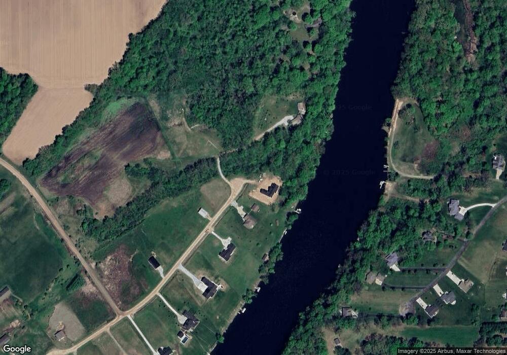
Map
Nearby Homes
- 14275 Deer Path
- 14556 Red Bud Trail N Unit Lot 83
- 14566 N Red Bud Trail Unit 20
- 14823 N Main St
- 4336 Hills Haven Rd
- 14918 Main St
- 15165 Main St
- 0 E River Rd
- V/L Mead Rd
- Vactant Land 1400 Block
- 426 Elizabeth St
- 903 N Detroit St
- 415 Remus Dr
- 315 N Red Bud Trail
- VL 1400 Block Broceus School Rd
- 15902 Meadowview Dr
- 314 Chippewa St
- 202 Moccasin St
- 704 Ottawa Ct
- 401 W 3rd St
- 14177 N Deer Path
- 14396 Deer Path
- 14217 Deer Path
- 0 Riverbend Landings Unit M16035903
- 0 Riverbend Landings Unit 69016035903
- 0 Riverbend Landings Unit Lot 10 16035903
- 14169 Deer Path
- 14150 Deer Path
- 14145 N Red Bud Trail
- 14359 N Red Bud Trail
- 4511 E River Rd
- 14292 N Red Bud Trail
- 4531 River Pointe Blvd
- 14178 N Red Bud Trail
- 14178 N Red Bud Trail
- 4541 River Pointe Blvd Unit 1B
- 4541 River Pointe Blvd
- 4431 B__1x River Rd
- 4551 River Pointe Blvd
- 4561 River Pointe Blvd
Your Personal Tour Guide
Ask me questions while you tour the home.