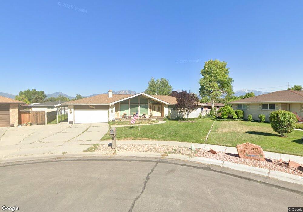
1414 Balsam Cir Salt Lake City, UT 84123
Estimated Value: $506,000 - $858,000
6
Beds
4
Baths
2,346
Sq Ft
$289/Sq Ft
Est. Value
About This Home
This home is located at 1414 Balsam Cir, Salt Lake City, UT 84123 and is currently estimated at $678,314, approximately $289 per square foot. 1414 Balsam Cir is a home located in Salt Lake County with nearby schools including John C Fremont Elementary School, Eisenhower Jr High School, and Taylorsville High School.
Ownership History
Date
Name
Owned For
Owner Type
Purchase Details
Closed on
May 9, 2014
Sold by
Jettie Raymond Wayne and Jettie Karla J
Bought by
The Jettie Family Trust
Current Estimated Value
Purchase Details
Closed on
Jul 30, 1998
Sold by
Jettie Raymond Wayne and Jettie Karla J
Bought by
Jettie Raymond Wayne and Jettie Karla J
Home Financials for this Owner
Home Financials are based on the most recent Mortgage that was taken out on this home.
Original Mortgage
$103,500
Interest Rate
6.58%
Mortgage Type
Purchase Money Mortgage
Purchase Details
Closed on
Dec 6, 1996
Sold by
Jettie Raymond Wayne and Jettie Karla J
Bought by
Jettie Raymond W and Jettie Karla J
Home Financials for this Owner
Home Financials are based on the most recent Mortgage that was taken out on this home.
Original Mortgage
$111,900
Interest Rate
7.76%
Mortgage Type
Purchase Money Mortgage
Create a Home Valuation Report for This Property
The Home Valuation Report is an in-depth analysis detailing your home's value as well as a comparison with similar homes in the area
Home Values in the Area
Average Home Value in this Area
Purchase History
| Date | Buyer | Sale Price | Title Company |
|---|---|---|---|
| The Jettie Family Trust | -- | None Available | |
| Jettie Raymond Wayne | -- | First American Title | |
| Jettie Raymond W | -- | First American Title |
Source: Public Records
Mortgage History
| Date | Status | Borrower | Loan Amount |
|---|---|---|---|
| Closed | Jettie Raymond Wayne | $103,500 | |
| Previous Owner | Jettie Raymond W | $111,900 |
Source: Public Records
Tax History Compared to Growth
Tax History
| Year | Tax Paid | Tax Assessment Tax Assessment Total Assessment is a certain percentage of the fair market value that is determined by local assessors to be the total taxable value of land and additions on the property. | Land | Improvement |
|---|---|---|---|---|
| 2025 | $3,981 | $673,200 | $103,700 | $569,500 |
| 2024 | $3,981 | $652,900 | $99,300 | $553,600 |
| 2023 | $3,636 | $584,900 | $95,500 | $489,400 |
| 2022 | $3,631 | $589,200 | $93,600 | $495,600 |
| 2021 | $3,449 | $487,400 | $72,000 | $415,400 |
| 2020 | $3,238 | $433,100 | $64,000 | $369,100 |
| 2019 | $3,257 | $425,300 | $64,000 | $361,300 |
| 2018 | $3,013 | $379,300 | $64,000 | $315,300 |
| 2017 | $2,649 | $350,600 | $60,900 | $289,700 |
| 2016 | $2,530 | $334,600 | $60,900 | $273,700 |
| 2015 | $2,346 | $289,900 | $76,800 | $213,100 |
| 2014 | -- | $270,800 | $72,800 | $198,000 |
Source: Public Records
Map
Nearby Homes
- 4545 S Thornwood Ave
- 1338 W 4800 S
- 4470 S Summerwood St
- 1146 W Carmellia Dr Unit 33
- 1126 Carmellia Dr
- 4450 S 1175 W
- 1224 W 4800 S
- 1118 W Autumn Leaf Ln
- 4567 S Yarrow Ln Unit 86
- 1101 W Barberry Dr
- 4480 S Atherton Dr Unit 22
- 1056 W Turnberry CV #5 S
- 1218 W 4365 S Unit 4B
- 1062 W Foxglove Dr Unit 118
- 4332 S 1195 W Unit 18D
- 1186 W Marinwood Ave
- 4288 S 1300 W
- 4721 Taylors View Ln Unit 18
- 1031 W Foxglove Dr
- 1191 W 4300 S Unit 15A
- 1427 Balsam Cir
- 4596 Thornwood Ave
- 4586 Thornwood Ave
- 4586 S Thornwood Ave
- 1426 Balsam Cir
- 4604 Thornwood Ave
- 4581 S Balsam Ave
- 4581 Balsam Ave
- 4578 Thornwood Ave
- 1437 Balsam Cir
- 1416 Tamarack Rd
- 1402 Tamarack Rd
- 1428 W Tamarack Rd
- 1428 Tamarack Rd
- 4575 S Balsam Ave
- 4575 Balsam Ave
- 4595 S Balsam Ave
- 4595 Balsam Ave
- 4564 S Thornwood Ave
- 4599 Thornwood Ave