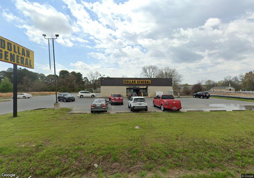
1414 E Harding Ave Pine Bluff, AR 71601
Studio
--
Bath
9,196
Sq Ft
43,560
Sq Ft
About This Home
This home is located at 1414 E Harding Ave, Pine Bluff, AR 71601. 1414 E Harding Ave is a home located in Jefferson County with nearby schools including Matthews Elementary School, Dollarway High School, and Hope Academy.
Ownership History
Date
Name
Owned For
Owner Type
Purchase Details
Closed on
Jan 15, 2014
Bought by
Realty Income Properties 30 Llc
Purchase Details
Closed on
Dec 16, 2010
Sold by
Pb General Holdings Llc
Bought by
Retail Property Investments Llc
Purchase Details
Closed on
Jul 29, 1999
Bought by
Roberts Clarence
Purchase Details
Closed on
Sep 28, 1998
Bought by
Smithwick-West-Roberts Ltd Ptnr and 1720 Doctors Dr
Purchase Details
Closed on
Sep 2, 1988
Bought by
Roberts Clarence Jr Tr Et Al
Purchase Details
Closed on
Jan 2, 1986
Bought by
Roberts Bros Tire Service Inc
Create a Home Valuation Report for This Property
The Home Valuation Report is an in-depth analysis detailing your home's value as well as a comparison with similar homes in the area
Purchase History
| Date | Buyer | Sale Price | Title Company |
|---|---|---|---|
| Realty Income Properties 30 Llc | -- | -- | |
| Retail Property Investments Llc | -- | -- | |
| Roberts Clarence | -- | -- | |
| Smithwick-West-Roberts Ltd Ptnr | -- | -- | |
| Roberts Clarence Jr Tr Et Al | -- | -- | |
| Roberts Bros Tire Service Inc | -- | -- |
Source: Public Records
Tax History
| Year | Tax Paid | Tax Assessment Tax Assessment Total Assessment is a certain percentage of the fair market value that is determined by local assessors to be the total taxable value of land and additions on the property. | Land | Improvement |
|---|---|---|---|---|
| 2025 | $3,793 | $72,430 | $18,990 | $53,440 |
| 2024 | $3,510 | $72,430 | $18,990 | $53,440 |
| 2023 | $3,218 | $72,430 | $18,990 | $53,440 |
| 2022 | $2,666 | $43,350 | $12,630 | $30,720 |
| 2021 | $2,666 | $43,350 | $12,630 | $30,720 |
| 2020 | $2,666 | $43,350 | $12,630 | $30,720 |
| 2019 | $2,666 | $43,350 | $12,630 | $30,720 |
| 2018 | $2,657 | $43,350 | $12,630 | $30,720 |
| 2017 | $4,473 | $72,830 | $11,470 | $61,360 |
| 2016 | $4,473 | $72,830 | $11,470 | $61,360 |
| 2015 | $4,255 | $72,830 | $11,470 | $61,360 |
| 2014 | -- | $72,830 | $11,470 | $61,360 |
Source: Public Records
Map
Nearby Homes
- 00
- 000 S 65 Hwy
- 0 NE Corner Hwy 65 425-81
- 1603 Belmoor Dr
- 1307 S Dakota St
- 919 S Nebraska St
- 600 E 17th Ave
- 1909 Lucia Ln
- 517 E 17th Ave
- 1302 Boston Dr
- 1503 Collins Dr
- 812 S Nebraska St
- 00 E 24th Ave
- 1309 Bailey Dr
- 820 S Ohio St
- 1120 E 8th Ave
- 2608 Belair Dr S
- .18 Acre E 6th Ave
- 1300 Avondale Dr
- 2713 Claremont Ave
- 1406 E Harding Ave
- 1719 S Ohio St
- 1711 S Ohio St
- 1415 E Harding Ave
- 1705 S Pennsylvania St
- 1314 E 17th Ave
- 1507 E 17th Ave
- 1301 1/2 E 17th Ave
- 1302 E 17th Ave
- 0000 Pennsylvania St
- 1423 E Harding Ave
- 1323 E 18th Ave
- 1220 E Harding Ave
- 1220 E 17th Ave
- E 17th Ave
- 0 S Nebraska St
- 2501 E Harding Ave
- 1216 E 17th Ave
- 1604 S Nebraska St
- 1319 E 18th Ave
Your Personal Tour Guide
Ask me questions while you tour the home.