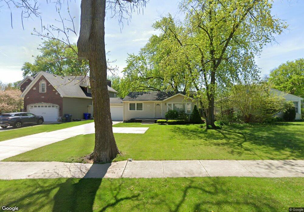
1414 Manchester Rd Wheaton, IL 60187
West Wheaton NeighborhoodEstimated Value: $209,000 - $287,000
Studio
--
Bath
816
Sq Ft
$305/Sq Ft
Est. Value
About This Home
This home is located at 1414 Manchester Rd, Wheaton, IL 60187 and is currently estimated at $248,781, approximately $304 per square foot. 1414 Manchester Rd is a home with nearby schools including Emerson Elementary School, Monroe Middle School, and Wheaton North High School.
Ownership History
Date
Name
Owned For
Owner Type
Purchase Details
Closed on
Jan 21, 1998
Sold by
Smith Shirley Jean and Shirley Jean Smith Living Trus
Bought by
Golter Glenn N
Current Estimated Value
Home Financials for this Owner
Home Financials are based on the most recent Mortgage that was taken out on this home.
Original Mortgage
$90,862
Outstanding Balance
$15,909
Interest Rate
7.24%
Mortgage Type
FHA
Estimated Equity
$232,872
Create a Home Valuation Report for This Property
The Home Valuation Report is an in-depth analysis detailing your home's value as well as a comparison with similar homes in the area
Home Values in the Area
Average Home Value in this Area
Purchase History
| Date | Buyer | Sale Price | Title Company |
|---|---|---|---|
| Golter Glenn N | $93,500 | -- |
Source: Public Records
Mortgage History
| Date | Status | Borrower | Loan Amount |
|---|---|---|---|
| Open | Golter Glenn N | $90,862 |
Source: Public Records
Tax History
| Year | Tax Paid | Tax Assessment Tax Assessment Total Assessment is a certain percentage of the fair market value that is determined by local assessors to be the total taxable value of land and additions on the property. | Land | Improvement |
|---|---|---|---|---|
| 2024 | $3,572 | $63,424 | $24,129 | $39,295 |
| 2023 | $3,405 | $58,380 | $22,210 | $36,170 |
| 2022 | $3,406 | $55,180 | $20,990 | $34,190 |
| 2021 | $3,388 | $53,870 | $20,490 | $33,380 |
| 2020 | $3,375 | $53,370 | $20,300 | $33,070 |
| 2019 | $3,290 | $51,960 | $19,760 | $32,200 |
| 2018 | $3,114 | $49,000 | $18,620 | $30,380 |
| 2017 | $2,776 | $47,190 | $17,930 | $29,260 |
| 2016 | $2,726 | $45,300 | $17,210 | $28,090 |
| 2015 | $2,691 | $43,220 | $16,420 | $26,800 |
| 2014 | $3,281 | $49,910 | $16,710 | $33,200 |
| 2013 | $3,199 | $46,620 | $16,760 | $29,860 |
Source: Public Records
Map
Nearby Homes
- 107 N Pierce Ave
- 833 Parkside Dr
- 615 Polo Dr
- 606 W Franklin St
- 705 S Gables Blvd
- 1478 Timber Trail Unit 15C
- 1474 Timber Trail Unit D
- 100 N Gary Ave Unit 408
- 0N105 Lot 1 Nepil Ave
- 0N105 Lot 2 Nepil Ave
- 405 W Front St Unit 3207
- 0N049 Page St
- 536 W Evergreen St
- 0N112 Leonard St
- 522 S West St
- 1110 S Gables Blvd
- 520 S Wheaton Ave
- 26W548 Prairie Ave
- 1021 Greenwood Dr
- 26W237 Parkway Dr
- 1410 Manchester Rd
- 235 N Morgan Ave
- 1406 Manchester Rd
- 227 N Morgan Ave
- 226 N Dorchester Ave
- 234 N Dorchester Ave
- 302 Birch Dr
- 223 N Morgan Ave
- 234 N Morgan Ave
- 222 N Dorchester Ave
- 1506 Manchester Rd
- 303 Westwood Dr
- 219 N Morgan Ave
- 220 N Dorchester Ave
- 308 Birch Dr
- 303 Birch Dr
- 224 N Morgan Ave
- 213 N Morgan Ave
- 1320 Manchester Rd
- 309 Westwood Dr
Your Personal Tour Guide
Ask me questions while you tour the home.