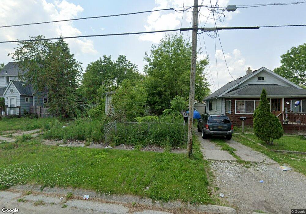
1414 Mann Ave Flint, MI 48503
Chevrolet NeighborhoodEstimated Value: $55,000 - $175,862
4
Beds
1
Bath
973
Sq Ft
$99/Sq Ft
Est. Value
About This Home
This home is located at 1414 Mann Ave, Flint, MI 48503 and is currently estimated at $96,621, approximately $99 per square foot. 1414 Mann Ave is a home located in Genesee County with nearby schools including Durant-Tuuri-Mott Elementary School, Flint Southwestern Classical Academy, and St. Paul Lutheran School.
Ownership History
Date
Name
Owned For
Owner Type
Purchase Details
Closed on
Dec 19, 2019
Sold by
Cherry Deborah L
Bought by
County Land Bank Authority
Current Estimated Value
Purchase Details
Closed on
Jul 7, 2015
Sold by
Adams Phyllis
Bought by
Coudret Jenny Faye
Purchase Details
Closed on
Oct 10, 2012
Sold by
Hughson Lester G
Bought by
Hughson Nelva V
Purchase Details
Closed on
Nov 2, 2005
Sold by
Waldrop Phyllis D and Thomas Phyllis D
Bought by
Thomas Phyllis O and Hughson Lester
Purchase Details
Closed on
Oct 26, 2004
Sold by
Pelky Gary D
Bought by
Waldrop Phyllis D
Home Financials for this Owner
Home Financials are based on the most recent Mortgage that was taken out on this home.
Original Mortgage
$43,533
Interest Rate
6.49%
Mortgage Type
Purchase Money Mortgage
Create a Home Valuation Report for This Property
The Home Valuation Report is an in-depth analysis detailing your home's value as well as a comparison with similar homes in the area
Home Values in the Area
Average Home Value in this Area
Purchase History
| Date | Buyer | Sale Price | Title Company |
|---|---|---|---|
| County Land Bank Authority | -- | None Available | |
| Coudret Jenny Faye | -- | Attorney | |
| Hughson Nelva V | -- | None Available | |
| Thomas Phyllis O | -- | -- | |
| Waldrop Phyllis D | -- | -- |
Source: Public Records
Mortgage History
| Date | Status | Borrower | Loan Amount |
|---|---|---|---|
| Previous Owner | Waldrop Phyllis D | $43,533 |
Source: Public Records
Tax History
| Year | Tax Paid | Tax Assessment Tax Assessment Total Assessment is a certain percentage of the fair market value that is determined by local assessors to be the total taxable value of land and additions on the property. | Land | Improvement |
|---|---|---|---|---|
| 2025 | -- | $0 | $0 | $0 |
| 2024 | -- | $0 | $0 | $0 |
| 2023 | -- | $0 | $0 | $0 |
| 2022 | $0 | $0 | $0 | $0 |
| 2021 | $0 | $0 | $0 | $0 |
| 2020 | $268 | $0 | $0 | $0 |
| 2019 | $1,172 | $12,400 | $0 | $0 |
| 2018 | $1,113 | $13,100 | $0 | $0 |
| 2017 | $1,083 | $0 | $0 | $0 |
| 2016 | $1,075 | $0 | $0 | $0 |
| 2015 | -- | $0 | $0 | $0 |
| 2014 | -- | $0 | $0 | $0 |
| 2012 | -- | $15,700 | $0 | $0 |
Source: Public Records
Map
Nearby Homes
- 3217 Arlene Ave
- 3317 Arlene Ave
- 3214 Clairmont St
- 1308 Barney Ave
- 3310 Larchmont St
- 1412 S Ballenger Hwy
- 3413 Augusta St
- 1202 Knapp Ave
- 1122 Stocker Ave
- 3510 Hogarth Ave
- 3402 Brandon St
- 3506 Chicago Blvd
- 1017 Stocker Ave
- 3722 Larchmont St
- 3805 Brown St
- 1114 Clancy Ave
- 3825 Arlene Ave
- 3801 Augusta St
- 2729 Chicago Blvd
- 2805 Reynolds St
Your Personal Tour Guide
Ask me questions while you tour the home.