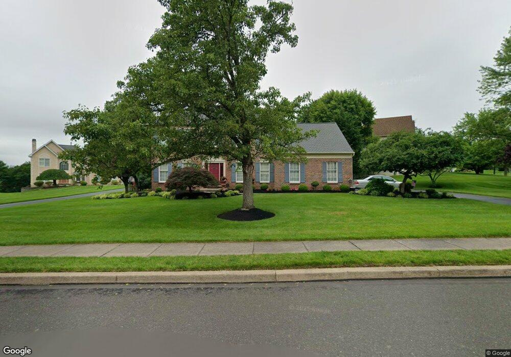
1414 Windsor Dr Warrington, PA 18976
Estimated Value: $793,365 - $884,000
4
Beds
3
Baths
2,760
Sq Ft
$308/Sq Ft
Est. Value
About This Home
This home is located at 1414 Windsor Dr, Warrington, PA 18976 and is currently estimated at $850,841, approximately $308 per square foot. 1414 Windsor Dr is a home located in Bucks County with nearby schools including Barclay Elementary School, Tamanend Middle School, and Central Bucks High School - South.
Ownership History
Date
Name
Owned For
Owner Type
Purchase Details
Closed on
Dec 12, 2000
Sold by
Gallagher Robert F and Gallagher Vivian Anne
Bought by
Burakiewicz Steven and Burakiewicz Mary
Current Estimated Value
Purchase Details
Closed on
Oct 26, 1994
Sold by
Warwick Estates
Bought by
Gallagher Robert F and Gallagher Vivian Anne
Home Financials for this Owner
Home Financials are based on the most recent Mortgage that was taken out on this home.
Original Mortgage
$218,150
Interest Rate
7.5%
Create a Home Valuation Report for This Property
The Home Valuation Report is an in-depth analysis detailing your home's value as well as a comparison with similar homes in the area
Home Values in the Area
Average Home Value in this Area
Purchase History
| Date | Buyer | Sale Price | Title Company |
|---|---|---|---|
| Burakiewicz Steven | $325,000 | -- | |
| Gallagher Robert F | $242,466 | -- |
Source: Public Records
Mortgage History
| Date | Status | Borrower | Loan Amount |
|---|---|---|---|
| Previous Owner | Gallagher Robert F | $218,150 |
Source: Public Records
Tax History Compared to Growth
Tax History
| Year | Tax Paid | Tax Assessment Tax Assessment Total Assessment is a certain percentage of the fair market value that is determined by local assessors to be the total taxable value of land and additions on the property. | Land | Improvement |
|---|---|---|---|---|
| 2025 | $8,717 | $50,080 | $10,200 | $39,880 |
| 2024 | $8,717 | $50,080 | $10,200 | $39,880 |
| 2023 | $8,440 | $50,080 | $10,200 | $39,880 |
| 2022 | $8,346 | $50,080 | $10,200 | $39,880 |
| 2021 | $8,253 | $50,080 | $10,200 | $39,880 |
| 2020 | $8,253 | $50,080 | $10,200 | $39,880 |
| 2019 | $8,203 | $50,080 | $10,200 | $39,880 |
| 2018 | $8,203 | $50,080 | $10,200 | $39,880 |
| 2017 | $8,141 | $50,080 | $10,200 | $39,880 |
| 2016 | -- | $50,080 | $10,200 | $39,880 |
| 2015 | -- | $50,080 | $10,200 | $39,880 |
| 2014 | -- | $50,080 | $10,200 | $39,880 |
Source: Public Records
Map
Nearby Homes
- 1656 S Ash Cir
- 1447 Bentley Dr
- 2226 Orchard Hill Cir
- 1402 Valley View
- 2158 Green Ridge Dr
- 0 W Bristol Rd
- Kingswood Plan at Breton Hill
- Mayweather Plan at Breton Hill
- Cloverfield Plan at Breton Hill
- Raintree Plan at Breton Hill
- Rollins Plan at Breton Hill
- 1877 Brook Ln
- 2234 Evin Dr
- 2302 MacIs Cir
- 1917 Brook Ln
- 110 Zircon Ct Unit 14
- 1620 Rockcress Dr
- 2150 Hilltop Ln
- 5327 Meridian Blvd
- 4219 Meridian Blvd
- 1426 Marielle Dr
- 1412 Windsor Dr
- 1424 Marielle Dr
- 1410 Windsor Dr
- 1411 Windsor Dr
- 1422 Marielle Dr
- 2007 Cedar Dr
- 1418 W Fernbrook Dr
- 1407 Windsor Dr
- 1427 Marielle Dr
- 2009 Cedar Dr
- 2004 Cedar Dr
- 2005 Cedar Dr
- 1425 Marielle Dr
- 1420 Marielle Dr
- 1423 Marielle Dr
- 2011 Cedar Dr
- 1487 W Fernbrook Dr
- 2006 Cedar Dr
- 1502 Huntly Dr