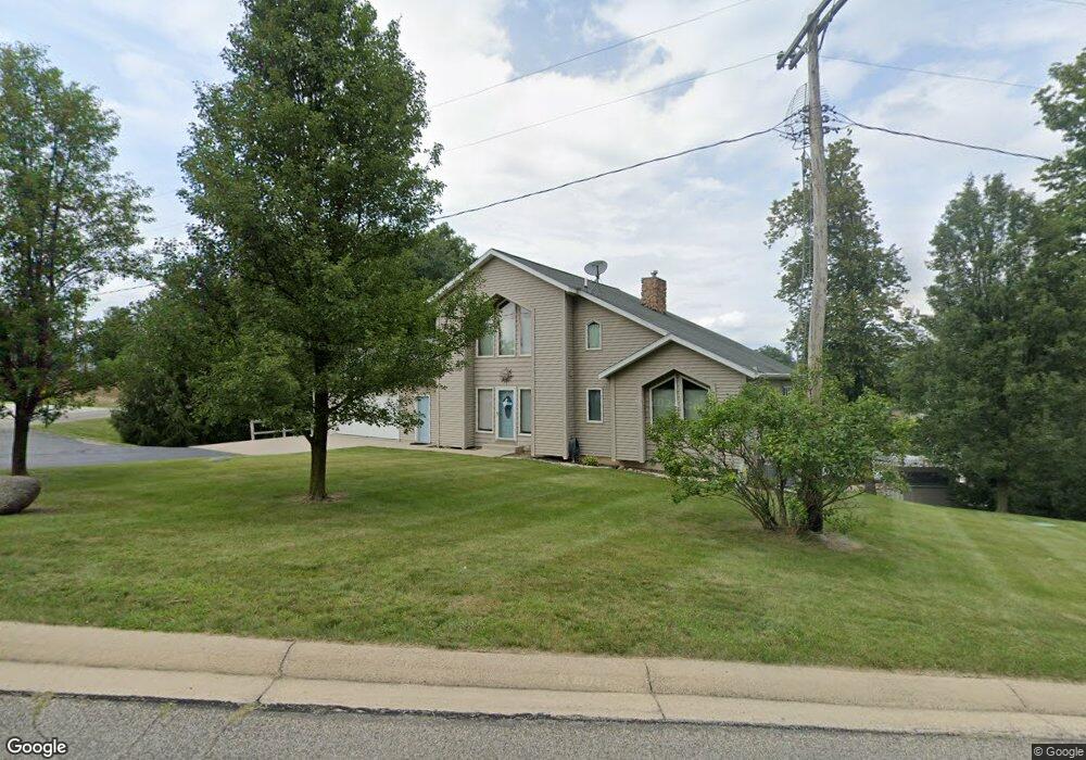
14140 W Diane Dr Camden, MI 49232
Estimated Value: $419,000 - $494,000
--
Bed
--
Bath
1,280
Sq Ft
$349/Sq Ft
Est. Value
About This Home
This home is located at 14140 W Diane Dr, Camden, MI 49232 and is currently estimated at $446,779, approximately $349 per square foot. 14140 W Diane Dr is a home with nearby schools including Camden-Frontier K-8 School and Camden-Frontier High School.
Ownership History
Date
Name
Owned For
Owner Type
Purchase Details
Closed on
Aug 28, 2018
Sold by
Preslan David G
Bought by
Boldys Susan E
Current Estimated Value
Purchase Details
Closed on
Feb 27, 2017
Sold by
Clark Michael and Clark Tracey
Bought by
Boldys Susan E and Preslan David G
Purchase Details
Closed on
Aug 1, 2000
Sold by
Snyder Aaron and Snyder Monica
Bought by
Clark Michael and Clark Tracey
Purchase Details
Closed on
May 29, 1999
Sold by
Borton Harold J and Borton Arlene
Bought by
Snyder Aaron and Snyder Monica
Purchase Details
Closed on
Jul 1, 1989
Bought by
Borton
Create a Home Valuation Report for This Property
The Home Valuation Report is an in-depth analysis detailing your home's value as well as a comparison with similar homes in the area
Home Values in the Area
Average Home Value in this Area
Purchase History
| Date | Buyer | Sale Price | Title Company |
|---|---|---|---|
| Boldys Susan E | $144,500 | None Available | |
| Boldys Susan E | $289,000 | Attorney | |
| Preslan David G | -- | Attorney | |
| Boldys Susan E | -- | Attorney | |
| Clark Michael | $32,000 | -- | |
| Snyder Aaron | $22,000 | -- | |
| Borton | $10,000 | -- |
Source: Public Records
Tax History Compared to Growth
Tax History
| Year | Tax Paid | Tax Assessment Tax Assessment Total Assessment is a certain percentage of the fair market value that is determined by local assessors to be the total taxable value of land and additions on the property. | Land | Improvement |
|---|---|---|---|---|
| 2025 | $6,830 | $227,400 | $0 | $0 |
| 2024 | $1,702 | $215,800 | $0 | $0 |
| 2023 | $1,622 | $181,100 | $0 | $0 |
| 2022 | $6,397 | $150,400 | $0 | $0 |
| 2021 | $6,223 | $141,800 | $0 | $0 |
| 2020 | $6,233 | $139,600 | $0 | $0 |
| 2019 | $6,015 | $132,100 | $0 | $0 |
| 2018 | $5,809 | $128,800 | $0 | $0 |
| 2017 | $3,133 | $128,470 | $0 | $0 |
| 2016 | $3,107 | $128,540 | $0 | $0 |
| 2015 | $1,278 | $128,540 | $0 | $0 |
| 2013 | $1,238 | $115,310 | $0 | $0 |
| 2012 | $1,209 | $110,380 | $0 | $0 |
Source: Public Records
Map
Nearby Homes
- 14401 Woodbridge Rd
- 14600 W Diane Dr
- 14934 Heather Ct
- 13857 E Diane Dr
- 13791 E Diane Dr
- 13551 Hillsdale Rd
- 623-624 Yuma Trail
- 0 W Territorial Rd Unit 25043960
- 362 Wasco Trail
- 8800 W Territorial Rd
- 15791 Rice Rd
- 199 Shoshone Trail
- 988-989 Seneca Dr
- 207 Modoc Trail
- 5-50 County Rd S
- 155 Navajo Trail
- 213 Navajo Trail
- 600 Seneca Dr
- 0 Seneca Dr
- 234 Seneca Dr
- 14134 W Diane Dr
- 14076 Woodbridge Rd
- 14123 Woodbridge Rd
- 14074 Woodbridge Rd
- 14152 W Diane Dr
- 0 Woodbridge Rd Unit 4551867
- 14111 Woodbridge Rd
- 14070 Woodbridge Rd
- 2320 Florida Ln
- 14105 Woodbridge Rd
- 2312 Florida Ln
- 2307 W Delta Dr
- 14066 Woodbridge Rd
- 14068 Woodbridge Rd
- 2299 W Delta Dr
- 0 Genoa Dr Unit 2306652
- 0 Genoa Dr Unit 2721311
- 2296 Florida Ln
- 2291 W Delta Dr
- 2283 W Delta Dr