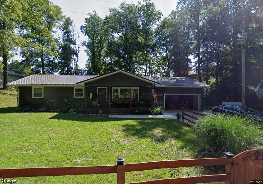
14141 Upper Jim Run Rd Laurel, IN 47024
Estimated Value: $47,000 - $160,000
3
Beds
2
Baths
1,248
Sq Ft
$83/Sq Ft
Est. Value
About This Home
This home is located at 14141 Upper Jim Run Rd, Laurel, IN 47024 and is currently estimated at $103,500, approximately $82 per square foot. 14141 Upper Jim Run Rd is a home located in Franklin County with nearby schools including Franklin County High School.
Ownership History
Date
Name
Owned For
Owner Type
Purchase Details
Closed on
Feb 7, 2025
Sold by
Barnard Lynn M
Bought by
Ramsey Mark G
Current Estimated Value
Purchase Details
Closed on
Feb 28, 2022
Sold by
Barnard Lynn M
Bought by
Halpin Tammy D
Purchase Details
Closed on
Aug 31, 2021
Sold by
Barnard Lynn M
Bought by
Barnard Lynn M
Home Financials for this Owner
Home Financials are based on the most recent Mortgage that was taken out on this home.
Interest Rate
2.87%
Purchase Details
Closed on
Oct 16, 2018
Sold by
Barnard Anthony W
Bought by
Hammond Crystal
Create a Home Valuation Report for This Property
The Home Valuation Report is an in-depth analysis detailing your home's value as well as a comparison with similar homes in the area
Home Values in the Area
Average Home Value in this Area
Purchase History
| Date | Buyer | Sale Price | Title Company |
|---|---|---|---|
| Ramsey Mark G | $15,000 | N/A | |
| Halpin Tammy D | $70,000 | Independence Title & Escrow Co | |
| Barnard Lynn M | -- | -- | |
| Hammond Crystal | $110,000 | -- |
Source: Public Records
Mortgage History
| Date | Status | Borrower | Loan Amount |
|---|---|---|---|
| Previous Owner | Barnard Lynn M | -- |
Source: Public Records
Tax History Compared to Growth
Tax History
| Year | Tax Paid | Tax Assessment Tax Assessment Total Assessment is a certain percentage of the fair market value that is determined by local assessors to be the total taxable value of land and additions on the property. | Land | Improvement |
|---|---|---|---|---|
| 2024 | $343 | $22,600 | $22,600 | $0 |
| 2023 | $307 | $19,700 | $19,700 | $0 |
| 2022 | $211 | $16,500 | $16,500 | $0 |
| 2021 | $583 | $101,500 | $23,500 | $78,000 |
| 2020 | $524 | $99,200 | $22,900 | $76,300 |
| 2019 | $506 | $98,600 | $22,400 | $76,200 |
| 2018 | $470 | $96,400 | $22,400 | $74,000 |
| 2017 | $1,360 | $94,400 | $22,800 | $71,600 |
| 2016 | $1,299 | $92,500 | $23,000 | $69,500 |
| 2014 | $1,165 | $88,900 | $22,500 | $66,400 |
| 2013 | $1,165 | $101,300 | $31,100 | $70,200 |
Source: Public Records
Map
Nearby Homes
- 14156 Jim Run Rd
- 7722 S Scout Rd
- 0 Laurel Rd Unit 1843214
- 0 Laurel Rd Unit 205194
- 0 Laurel Rd Unit MBR22043045
- 20136 Stone Church Rd
- 0 Little Duck Creek Rd
- 14023 Pike St
- 0 McGuire Ridge Rd
- 14018 State Road 1
- 1779 E Little Bear Rd
- 3 Bentley Rd
- 19 Bentley Rd
- 2 Bentley Rd
- 18 Bentley Rd
- 1 Bentley Rd
- 127 E Baltimore St
- 244 Baltimore St
- 182 Cass St
- 282 Baltimore St
- 14149 Upper Jim Run Rd
- 14129 Upper Jim Run Rd
- 18243 Marcum Ln
- 14163 Upper Jim Run Rd
- 14172 Jim Run Rd
- 19035 Stone Church Rd
- 0 Stone Church Rd
- 18224 Marcum Ln
- 14109 Upper Jim Run Rd
- 14109 Upper Jim Run Rd
- 14108 Upper Jim Run Rd
- 14083 Upper Jim Run Rd
- 14090 Upper Jim Run Rd
- 18232 Stone Church Rd
- 18254 Stone Church Rd
- 18122 Stone Church Rd
- 14077 Upper Jim Run Rd
- 18092 Stone Church Rd
- 15028 Shady Lake Rd
- 14152 Glisson Dr