Estimated Value: $178,000 - $228,000
3
Beds
2
Baths
2,092
Sq Ft
$100/Sq Ft
Est. Value
About This Home
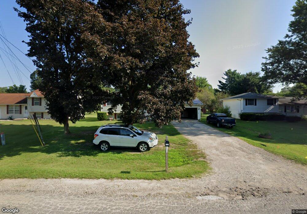
This home is located at 1415 Apple Ln, Niles, MI 49120 and is currently estimated at $209,239, approximately $100 per square foot. 1415 Apple Ln is a home located in Berrien County with nearby schools including Merritt Elementary School, Brandywine Elementary School, and Brandywine Middle School.
Ownership History
Date
Name
Owned For
Owner Type
Purchase Details
Closed on
Nov 20, 2014
Sold by
Corak Andrea and Bahus Andrea Lynne
Bought by
Corak Andrea
Current Estimated Value
Home Financials for this Owner
Home Financials are based on the most recent Mortgage that was taken out on this home.
Original Mortgage
$115,000
Outstanding Balance
$63,834
Interest Rate
3.91%
Mortgage Type
New Conventional
Estimated Equity
$145,405
Purchase Details
Closed on
Aug 22, 2007
Sold by
Stokes Mose and Stokes Patricia
Bought by
Bahus Andrea Lynne
Home Financials for this Owner
Home Financials are based on the most recent Mortgage that was taken out on this home.
Original Mortgage
$124,100
Interest Rate
6.79%
Mortgage Type
Purchase Money Mortgage
Purchase Details
Closed on
Nov 1, 1975
Create a Home Valuation Report for This Property
The Home Valuation Report is an in-depth analysis detailing your home's value as well as a comparison with similar homes in the area
Home Values in the Area
Average Home Value in this Area
Purchase History
| Date | Buyer | Sale Price | Title Company |
|---|---|---|---|
| Corak Andrea | -- | First American Title Ins Co | |
| Bahus Andrea Lynne | $118,900 | None Available | |
| -- | $26,500 | -- |
Source: Public Records
Mortgage History
| Date | Status | Borrower | Loan Amount |
|---|---|---|---|
| Open | Corak Andrea | $115,000 | |
| Closed | Bahus Andrea Lynne | $124,100 |
Source: Public Records
Tax History
| Year | Tax Paid | Tax Assessment Tax Assessment Total Assessment is a certain percentage of the fair market value that is determined by local assessors to be the total taxable value of land and additions on the property. | Land | Improvement |
|---|---|---|---|---|
| 2025 | $1,708 | $94,900 | $0 | $0 |
| 2024 | $1,166 | $88,000 | $0 | $0 |
| 2023 | $1,111 | $77,500 | $0 | $0 |
| 2022 | $1,063 | $71,500 | $0 | $0 |
| 2021 | $1,440 | $62,400 | $6,200 | $56,200 |
| 2020 | $1,433 | $59,300 | $0 | $0 |
| 2019 | $1,407 | $50,900 | $6,200 | $44,700 |
| 2018 | $1,358 | $50,900 | $0 | $0 |
| 2017 | $1,346 | $48,400 | $0 | $0 |
| 2016 | $1,325 | $46,800 | $0 | $0 |
| 2015 | $1,276 | $47,500 | $0 | $0 |
| 2014 | $913 | $45,800 | $0 | $0 |
Source: Public Records
Map
Nearby Homes
- 2807 S 13th St
- 2801 Primrose Ct
- 1355 Honeysuckle Ln
- 2723 Sugarberry Ln
- 2711 Sugarberry Ln
- 3120 Woodlawn St
- 2006 Ontario Rd Unit 141
- 19195 Haviland Dr
- 19312 Haviland Dr
- 18015 Stone Ridge Dr Unit 14
- 53384 Stone Ridge Dr Unit 18
- 321 E Bertrand Rd
- 2639 S 3rd St
- 19520 Palisade Ave
- 2816 Madison St
- 242 Higgins St
- 2428 S 14th St
- 19500 Greenacre St
- 2420 Floral Dr
- 50615 Oakland Ave
Your Personal Tour Guide
Ask me questions while you tour the home.