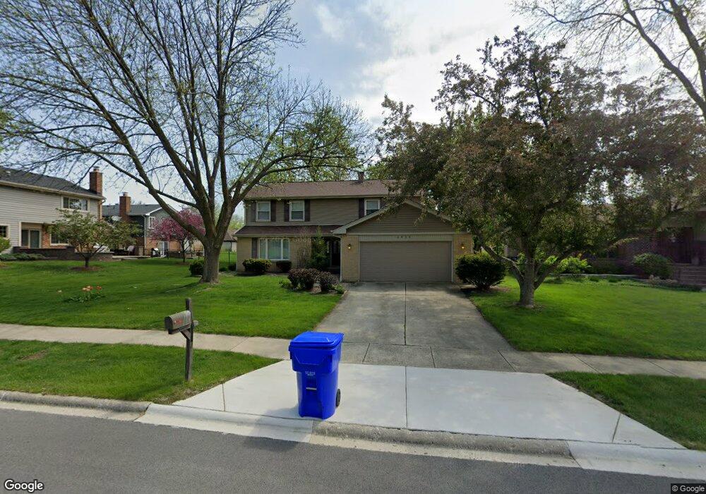
1415 Brandon Dr Unit 2 Wheaton, IL 60189
Southeast Wheaton NeighborhoodEstimated Value: $655,000 - $726,000
4
Beds
3
Baths
2,600
Sq Ft
$259/Sq Ft
Est. Value
About This Home
This home is located at 1415 Brandon Dr Unit 2, Wheaton, IL 60189 and is currently estimated at $673,238, approximately $258 per square foot. 1415 Brandon Dr Unit 2 is a home located in DuPage County with nearby schools including Lincoln Elementary School, Edison Middle School, and Wheaton Warrenville South High School.
Ownership History
Date
Name
Owned For
Owner Type
Purchase Details
Closed on
Sep 14, 2011
Sold by
Mulder Terrence L and Mulder Jean M
Bought by
Hoey Kenneth J and Hoey Sandra E
Current Estimated Value
Home Financials for this Owner
Home Financials are based on the most recent Mortgage that was taken out on this home.
Original Mortgage
$312,000
Outstanding Balance
$215,079
Interest Rate
4.4%
Mortgage Type
New Conventional
Estimated Equity
$458,159
Create a Home Valuation Report for This Property
The Home Valuation Report is an in-depth analysis detailing your home's value as well as a comparison with similar homes in the area
Home Values in the Area
Average Home Value in this Area
Purchase History
| Date | Buyer | Sale Price | Title Company |
|---|---|---|---|
| Hoey Kenneth J | $390,000 | First American Title Ins Co |
Source: Public Records
Mortgage History
| Date | Status | Borrower | Loan Amount |
|---|---|---|---|
| Open | Hoey Kenneth J | $312,000 |
Source: Public Records
Tax History Compared to Growth
Tax History
| Year | Tax Paid | Tax Assessment Tax Assessment Total Assessment is a certain percentage of the fair market value that is determined by local assessors to be the total taxable value of land and additions on the property. | Land | Improvement |
|---|---|---|---|---|
| 2024 | $10,757 | $174,900 | $35,493 | $139,407 |
| 2023 | $10,339 | $160,990 | $32,670 | $128,320 |
| 2022 | $10,121 | $152,140 | $30,870 | $121,270 |
| 2021 | $10,088 | $148,530 | $30,140 | $118,390 |
| 2020 | $10,057 | $147,150 | $29,860 | $117,290 |
| 2019 | $9,827 | $143,260 | $29,070 | $114,190 |
| 2018 | $10,138 | $145,970 | $27,400 | $118,570 |
| 2017 | $9,989 | $140,590 | $26,390 | $114,200 |
| 2016 | $9,858 | $134,980 | $25,340 | $109,640 |
| 2015 | $9,785 | $128,770 | $24,170 | $104,600 |
| 2014 | $8,070 | $105,530 | $19,110 | $86,420 |
| 2013 | $7,863 | $105,850 | $19,170 | $86,680 |
Source: Public Records
Map
Nearby Homes
- 1049 Liskeard Ct
- 1212 Underwood Terrace
- 1547 Huntleigh Dr
- 1123 Grant St
- 1244 Loughborough Ct
- 1129 Rhodes Ct
- 512 Pershing Ave
- 220 E Elm St
- 1010 Heathrow Ct
- 1268 Edinburgh Ct
- 104 E Elm St
- 1344 S Main St
- 1694 Farragut Ct Unit A
- 1687 Williamsburg Ct Unit A
- 187 E Thompson Dr
- 1581 Groton Ln
- 909 S Main St
- 408 E Evergreen St
- 1643 Castbourne Ct
- 829 E Evergreen St
- 1433 Brandon Dr
- 702 Alchester Dr
- 736 Alchester Dr
- 1445 Brandon Dr
- 1414 Falson Ct
- 1426 Falson Ct
- 770 Alchester Dr
- 1426 Brandon Dr
- 1414 Brandon Dr
- 1438 Brandon Dr
- 1457 Brandon Dr
- 1402 Brandon Dr
- 1438 Falson Ct
- 1450 Brandon Dr
- 1410 Falson Ct
- 703 Alchester Dr
- 1469 Brandon Dr
- 1462 Brandon Dr
- 699 Alchester Dr
- 1450 Falson Ct