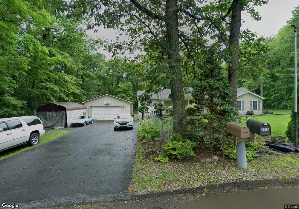
1415 Deer Path Dr Walnutport, PA 18088
Estimated Value: $255,000 - $315,000
3
Beds
2
Baths
1,716
Sq Ft
$166/Sq Ft
Est. Value
About This Home
This home is located at 1415 Deer Path Dr, Walnutport, PA 18088 and is currently estimated at $284,341, approximately $165 per square foot. 1415 Deer Path Dr is a home located in Northampton County with nearby schools including Lehigh Elementary School, Northampton Area Middle School, and Northampton Area High School.
Ownership History
Date
Name
Owned For
Owner Type
Purchase Details
Closed on
Aug 8, 2012
Sold by
Dopsovic Debra and Deutsch Danny L
Bought by
Dopsovic Debra and Deutsch Danny L
Current Estimated Value
Home Financials for this Owner
Home Financials are based on the most recent Mortgage that was taken out on this home.
Original Mortgage
$100,000
Outstanding Balance
$15,352
Interest Rate
2.93%
Mortgage Type
New Conventional
Estimated Equity
$268,989
Purchase Details
Closed on
Nov 15, 1999
Bought by
Dopsovic Debra
Create a Home Valuation Report for This Property
The Home Valuation Report is an in-depth analysis detailing your home's value as well as a comparison with similar homes in the area
Home Values in the Area
Average Home Value in this Area
Purchase History
| Date | Buyer | Sale Price | Title Company |
|---|---|---|---|
| Dopsovic Debra | -- | None Available | |
| Dopsovic Debra | $23,500 | -- |
Source: Public Records
Mortgage History
| Date | Status | Borrower | Loan Amount |
|---|---|---|---|
| Open | Dopsovic Debra | $100,000 |
Source: Public Records
Tax History
| Year | Tax Paid | Tax Assessment Tax Assessment Total Assessment is a certain percentage of the fair market value that is determined by local assessors to be the total taxable value of land and additions on the property. | Land | Improvement |
|---|---|---|---|---|
| 2025 | $448 | $41,500 | $16,300 | $25,200 |
| 2024 | $3,051 | $41,500 | $16,300 | $25,200 |
| 2023 | $2,997 | $41,500 | $16,300 | $25,200 |
| 2022 | $2,997 | $41,500 | $16,300 | $25,200 |
| 2021 | $3,004 | $41,500 | $16,300 | $25,200 |
| 2020 | $3,004 | $41,500 | $16,300 | $25,200 |
| 2019 | $2,960 | $41,500 | $16,300 | $25,200 |
| 2018 | $2,916 | $41,500 | $16,300 | $25,200 |
| 2017 | $2,853 | $41,500 | $16,300 | $25,200 |
| 2016 | -- | $41,500 | $16,300 | $25,200 |
| 2015 | -- | $41,500 | $16,300 | $25,200 |
| 2014 | -- | $41,500 | $16,300 | $25,200 |
Source: Public Records
Map
Nearby Homes
- 0 Deer Path Dr Unit 767888
- 1412 Heytesbury Rd
- 1410 Heytesbury Rd
- 3983 Hastings Rd
- 4234 Independence Ln
- 1233 Valley Forge Dr
- 4083 W Mountain View Dr
- 93 Nashua St
- 52 W Zimmer Dr
- 161 Windsor St
- 127 Zimmer Dr W Unit 127
- 57 Zimmer Dr W
- 32 De Rose St
- 4119 Butternut Dr
- 1225 Quince Rd
- 0 Olive Rd
- 4586 W Mountain View Dr
- 3749 Mountain View Dr
- 0 Mountain View Dr Unit 769079
- 877 Delaware Ave
- 1414 Deer Path Dr
- 1423 Deer Path Dr
- 1405 Deer Path Dr
- 4247 Deer Path Dr
- 4243 Carl Dr
- 1406 Deer Path Dr
- 1387 Deer Path Dr
- 1409 Spring Dr
- 1397 Spring Dr
- 22 Deer Path Dr
- 1450 Deer Path Dr
- 1371 Deer Path Dr
- 1416 Spring Dr
- 1431 Spring Dr
- 1406 Spring Dr
- 1394 Spring Dr
- 1444 Spring Dr
- 1360 Deer Path Dr
- 1365 Deer Path Dr
- 1382 Spring Dr
Your Personal Tour Guide
Ask me questions while you tour the home.