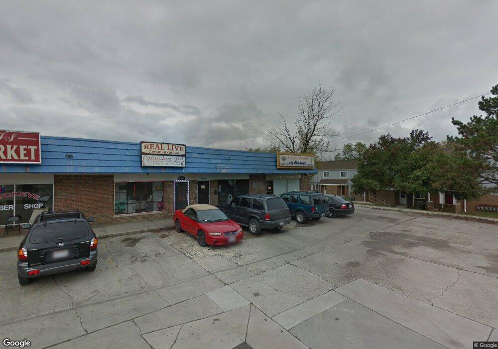
1415 Demorest Rd Unit 1419 Columbus, OH 43228
Riverbend NeighborhoodEstimated Value: $422,562
--
Bed
--
Bath
6,400
Sq Ft
$66/Sq Ft
Est. Value
About This Home
This home is located at 1415 Demorest Rd Unit 1419, Columbus, OH 43228 and is currently estimated at $422,562, approximately $66 per square foot. 1415 Demorest Rd Unit 1419 is a home located in Franklin County with nearby schools including West Franklin Elementary School, Franklin Woods Intermediate School, and Finland Middle School.
Ownership History
Date
Name
Owned For
Owner Type
Purchase Details
Closed on
Feb 22, 2022
Sold by
O Jallaq Llc
Bought by
1425 Demorest Road
Current Estimated Value
Purchase Details
Closed on
Jun 1, 2021
Sold by
Hartman James A
Bought by
O Jallaq Llc
Purchase Details
Closed on
Nov 5, 1999
Sold by
Corna Richard R
Bought by
Hartman James A
Create a Home Valuation Report for This Property
The Home Valuation Report is an in-depth analysis detailing your home's value as well as a comparison with similar homes in the area
Home Values in the Area
Average Home Value in this Area
Purchase History
Date | Buyer | Sale Price | Title Company |
---|---|---|---|
1425 Demorest Road | $350,000 | Valmer Land Title | |
O Jallaq Llc | $200,000 | Valmer Land Title Agency Llc | |
Hartman James A | $235,000 | Chicago Title |
Source: Public Records
Mortgage History
Date | Status | Borrower | Loan Amount |
---|---|---|---|
Previous Owner | Hartman James A | $123,919 |
Source: Public Records
Tax History Compared to Growth
Tax History
Year | Tax Paid | Tax Assessment Tax Assessment Total Assessment is a certain percentage of the fair market value that is determined by local assessors to be the total taxable value of land and additions on the property. | Land | Improvement |
---|---|---|---|---|
2024 | $7,030 | $111,450 | $28,320 | $83,130 |
2023 | $6,945 | $111,450 | $28,320 | $83,130 |
2022 | $7,162 | $102,060 | $25,970 | $76,090 |
2021 | $7,372 | $102,060 | $25,970 | $76,090 |
2020 | $7,311 | $102,060 | $25,970 | $76,090 |
2019 | $7,285 | $92,750 | $23,590 | $69,160 |
2018 | $7,519 | $92,750 | $23,590 | $69,160 |
2017 | $7,279 | $92,750 | $23,590 | $69,160 |
2016 | $7,249 | $87,500 | $23,590 | $63,910 |
2015 | $7,730 | $87,500 | $23,590 | $63,910 |
2014 | $7,218 | $87,500 | $23,590 | $63,910 |
2013 | $3,590 | $87,500 | $23,590 | $63,910 |
Source: Public Records
Map
Nearby Homes
- 3723 Klibreck Dr
- 3547 High Creek Dr
- 1715 Winding Hollow Dr
- 1327 Pinnacle Dr
- 3394 Emeline Dr
- 1259 Treehaven Ln
- 1657 Ripplebrook Rd
- 1248 Treehaven Ln
- 3336 Western Hill Ct
- 1770 Rivermont Rd
- 1472 Tall Meadows Dr
- 3146 Andy Terrace
- 3711 Alkire Rd
- 1883 Bay Port Dr
- 3321 Joes Way
- 3698 Fountain Cove Ln
- 3769 Lynward Rd
- 3551 Glorious Rd
- 1963 Spring Cove Dr
- 909 Stephen Dr W
- 1415 Demorest Rd Unit 1419
- 3647 Rocky Rd
- 3648 High Creek Dr
- 1477 Greenock Rd
- 3642 High Creek Dr
- 3675 Klibreck Dr
- 3639 Rocky Rd
- 3636 High Creek Dr
- 3631 Rocky Rd
- 3630 High Creek Dr
- 1449 Demorest Rd
- 1449 Demorest Rd
- 3679 Klibreck Dr
- 1444 Demorest Rd
- 3672 Klibreck Dr
- 3623 Rocky Rd
- 3624 High Creek Dr
- 3616 Rocky Rd
- 1453 Demorest Rd
- 3681 Klibreck Dr