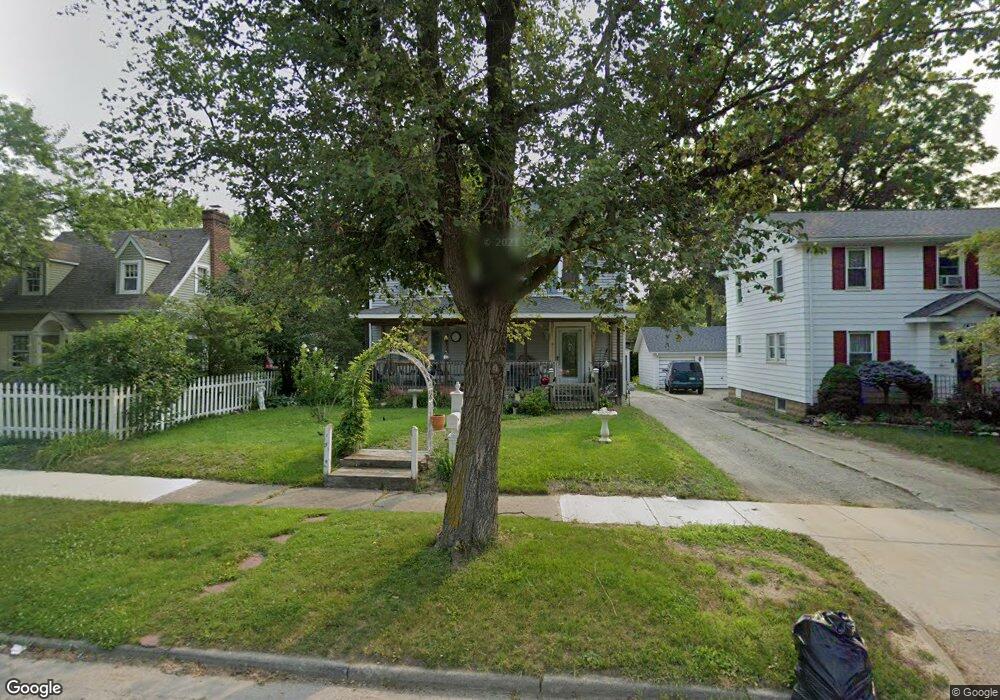
1415 Durand St Flint, MI 48503
Southwest Flint NeighborhoodEstimated Value: $85,000 - $107,267
3
Beds
2
Baths
1,522
Sq Ft
$62/Sq Ft
Est. Value
About This Home
This home is located at 1415 Durand St, Flint, MI 48503 and is currently estimated at $94,567, approximately $62 per square foot. 1415 Durand St is a home located in Genesee County with nearby schools including Eisenhower School, Flint Southwestern Classical Academy, and St John Vianney Catholic School.
Ownership History
Date
Name
Owned For
Owner Type
Purchase Details
Closed on
Apr 6, 2009
Sold by
Secretary Of Housing & Urban Development
Bought by
Guthrie Diane F
Current Estimated Value
Purchase Details
Closed on
Nov 20, 2008
Sold by
Countrywide Home Loans Inc
Bought by
The Secretary Of Housing & Urban Develop
Purchase Details
Closed on
Oct 10, 2008
Sold by
Chapman Sylvester
Bought by
Countrywide Home Loans Inc
Purchase Details
Closed on
Aug 17, 2000
Sold by
Hud
Bought by
Chapman Sylvester
Purchase Details
Closed on
May 4, 2000
Sold by
Union Federal Bank Of Indianapolis
Bought by
Hud
Purchase Details
Closed on
Jan 19, 2000
Sold by
Mince J Mince M and Mince L
Bought by
Union Fsb Of Indianapolis
Create a Home Valuation Report for This Property
The Home Valuation Report is an in-depth analysis detailing your home's value as well as a comparison with similar homes in the area
Home Values in the Area
Average Home Value in this Area
Purchase History
| Date | Buyer | Sale Price | Title Company |
|---|---|---|---|
| Guthrie Diane F | $12,000 | None Available | |
| The Secretary Of Housing & Urban Develop | -- | None Available | |
| Countrywide Home Loans Inc | $57,979 | None Available | |
| Chapman Sylvester | $61,000 | -- | |
| Hud | -- | -- | |
| Union Fsb Of Indianapolis | $60,353 | -- |
Source: Public Records
Tax History Compared to Growth
Tax History
| Year | Tax Paid | Tax Assessment Tax Assessment Total Assessment is a certain percentage of the fair market value that is determined by local assessors to be the total taxable value of land and additions on the property. | Land | Improvement |
|---|---|---|---|---|
| 2025 | $1,748 | $47,300 | $0 | $0 |
| 2024 | $1,557 | $47,800 | $0 | $0 |
| 2023 | $1,514 | $39,300 | $0 | $0 |
| 2022 | $0 | $37,300 | $0 | $0 |
| 2021 | $1,592 | $33,500 | $0 | $0 |
| 2020 | $1,409 | $27,100 | $0 | $0 |
| 2019 | $1,356 | $25,500 | $0 | $0 |
| 2018 | $1,413 | $27,200 | $0 | $0 |
| 2017 | $1,368 | $0 | $0 | $0 |
| 2016 | $1,358 | $0 | $0 | $0 |
| 2015 | -- | $0 | $0 | $0 |
| 2014 | -- | $0 | $0 | $0 |
| 2012 | -- | $27,200 | $0 | $0 |
Source: Public Records
Map
Nearby Homes
- 2112 Miller Rd
- 2124 Swayze St
- 1820 Chelsea Cir
- 2429 Brown St
- 2433 Brown St
- 1725 Lincoln Dr
- 2410 Corunna Rd
- 2509 Corunna Rd
- 2437 Zimmerman St
- 2537 Swayze St
- 2464 Gibson St
- 2608 Cumings Ave
- 2624 Miller Rd
- 2618 Brown St
- 607 Thayer St
- 2663 W Court St
- 1114 Clancy Ave
- 932 Bradley Ave
- 2830 Reynolds St
- 2710 Mansfield Ave