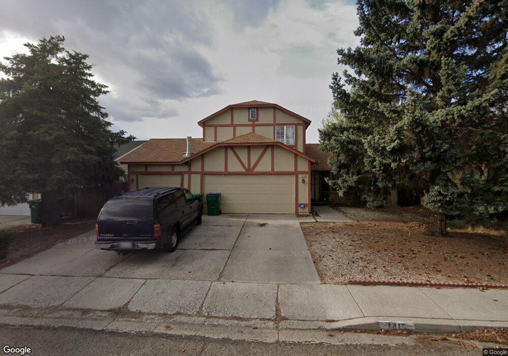
1415 Kendal Ct Sparks, NV 89434
O'Callaghan NeighborhoodEstimated Value: $450,000 - $470,000
3
Beds
3
Baths
1,596
Sq Ft
$288/Sq Ft
Est. Value
About This Home
This home is located at 1415 Kendal Ct, Sparks, NV 89434 and is currently estimated at $460,369, approximately $288 per square foot. 1415 Kendal Ct is a home located in Washoe County with nearby schools including Katherine Dunn Elementary School, George L Dilworth Middle School, and Edward C Reed High School.
Ownership History
Date
Name
Owned For
Owner Type
Purchase Details
Closed on
Apr 14, 2025
Sold by
Morris Theresa
Bought by
Theresa M Morris Revocable Trust and Morris
Current Estimated Value
Purchase Details
Closed on
Aug 14, 2002
Sold by
Herbert Mei
Bought by
Davis Herbert Mei and Davis Morris
Purchase Details
Closed on
Jun 26, 1996
Sold by
Benecke William and Benecke Suzette E
Bought by
Hinen James and Hinen Cheryl
Create a Home Valuation Report for This Property
The Home Valuation Report is an in-depth analysis detailing your home's value as well as a comparison with similar homes in the area
Home Values in the Area
Average Home Value in this Area
Purchase History
| Date | Buyer | Sale Price | Title Company |
|---|---|---|---|
| Theresa M Morris Revocable Trust | -- | None Listed On Document | |
| Morris Theresa | -- | None Listed On Document | |
| Davis Herbert Mei | $145,000 | First American Title | |
| Herbert Mei | $145,000 | First American Title | |
| Hinen James | $145,000 | Stewart Title | |
| Herbert Mei | -- | Stewart Title |
Source: Public Records
Tax History Compared to Growth
Tax History
| Year | Tax Paid | Tax Assessment Tax Assessment Total Assessment is a certain percentage of the fair market value that is determined by local assessors to be the total taxable value of land and additions on the property. | Land | Improvement |
|---|---|---|---|---|
| 2025 | $2,388 | $73,817 | $34,580 | $39,237 |
| 2024 | $2,388 | $72,828 | $32,725 | $40,103 |
| 2023 | $2,212 | $70,840 | $32,305 | $38,535 |
| 2022 | $2,051 | $58,519 | $26,005 | $32,514 |
| 2021 | $1,898 | $52,618 | $19,845 | $32,773 |
| 2020 | $1,785 | $53,019 | $19,775 | $33,244 |
| 2019 | $1,701 | $51,984 | $18,935 | $33,049 |
| 2018 | $1,623 | $46,689 | $13,965 | $32,724 |
| 2017 | $1,559 | $45,882 | $12,670 | $33,212 |
| 2016 | $1,519 | $45,578 | $11,410 | $34,168 |
| 2015 | $1,516 | $44,096 | $9,625 | $34,471 |
| 2014 | -- | $39,834 | $8,225 | $31,609 |
| 2013 | -- | $36,541 | $6,090 | $30,451 |
Source: Public Records
Map
Nearby Homes
- 1770 Burnside Dr
- 1655 Sabatino Dr
- 1332 Coachman Ct
- 1728 Bluehaven Dr
- 1990 Fargo Way
- 1280 O'Callaghan Dr
- 1544 Woodhaven Ln
- 1218 Junction Dr
- 2252 Sycamore Glen Dr
- 1970 Woodhaven Ln
- 2435 Sycamore Glen Dr Unit 2
- 2407 Sunny Slope Dr Unit 1
- 2002 Wabash Cir
- 1897 Bonita Vista Dr
- 2688 Laguna Way
- 2763 Blossom View Dr
- 1973 Rio Tinto Dr
- 1688 Round Mountain Cir
- 675 Parlanti Ln Unit 52
- 675 Parlanti Ln Unit 124
- 1425 Kendal Ct
- 1405 Kendal Ct
- 1283 Union St
- 1408 Conductor Ct
- 1395 Kendal Ct
- 1420 Kendal Ct
- 1273 Union St
- 1430 Kendal Ct
- 1417 Conductor Ct
- 1410 Kendal Ct
- 1385 Kendal Ct
- 1302 Union St
- 1322 Union St
- 1510 Union Ct
- 1362 Union St
- 1413 Conductor Ct
- 1263 Union St
- 1433 Union St
- 1438 Mandarin Ct
- 1375 Kendal Ct