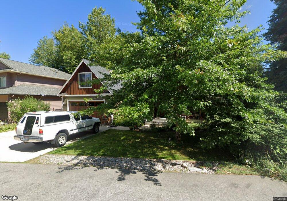
1415 Mathison Dr Sandpoint, ID 83864
Estimated Value: $790,665 - $906,000
4
Beds
3
Baths
2,594
Sq Ft
$321/Sq Ft
Est. Value
About This Home
This home is located at 1415 Mathison Dr, Sandpoint, ID 83864 and is currently estimated at $831,916, approximately $320 per square foot. 1415 Mathison Dr is a home located in Bonner County with nearby schools including Washington Elementary School, Sandpoint Middle School, and Sandpoint High School.
Ownership History
Date
Name
Owned For
Owner Type
Purchase Details
Closed on
Apr 10, 2017
Sold by
Merwin Grant Lee and Merwin Jennifer G
Bought by
Stevens Kenneth E and Stevens Theresa S
Current Estimated Value
Purchase Details
Closed on
Jun 27, 2007
Sold by
Rasmussen Construction Llc
Bought by
Merwin Grant Lee and Merwin Jennifer G
Home Financials for this Owner
Home Financials are based on the most recent Mortgage that was taken out on this home.
Original Mortgage
$344,000
Interest Rate
6.36%
Mortgage Type
New Conventional
Create a Home Valuation Report for This Property
The Home Valuation Report is an in-depth analysis detailing your home's value as well as a comparison with similar homes in the area
Home Values in the Area
Average Home Value in this Area
Purchase History
| Date | Buyer | Sale Price | Title Company |
|---|---|---|---|
| Stevens Kenneth E | $318,000 | None Available | |
| Merwin Grant Lee | -- | -- |
Source: Public Records
Mortgage History
| Date | Status | Borrower | Loan Amount |
|---|---|---|---|
| Previous Owner | Merwin Grant Lee | $344,000 |
Source: Public Records
Tax History
| Year | Tax Paid | Tax Assessment Tax Assessment Total Assessment is a certain percentage of the fair market value that is determined by local assessors to be the total taxable value of land and additions on the property. | Land | Improvement |
|---|---|---|---|---|
| 2025 | $3,584 | $735,159 | $298,339 | $436,820 |
| 2023 | $3,703 | $814,130 | $327,151 | $486,979 |
| 2022 | $4,887 | $794,512 | $351,996 | $442,516 |
| 2021 | $3,822 | $472,594 | $168,490 | $304,104 |
| 2020 | $3,585 | $432,010 | $132,281 | $299,729 |
| 2019 | $3,316 | $399,233 | $112,416 | $286,817 |
| 2018 | $3,240 | $367,615 | $112,416 | $255,199 |
| 2017 | $3,208 | $346,431 | $0 | $0 |
| 2016 | $2,630 | $286,375 | $0 | $0 |
| 2015 | $2,713 | $286,375 | $0 | $0 |
| 2014 | $2,670 | $280,217 | $0 | $0 |
Source: Public Records
Map
Nearby Homes
- 1309 Westwood Ln
- 141 Madera Dr
- 117 Hanson Ct
- 509 S Olive Ave
- 424 S Olive Ave Unit 303
- 424 S Olive Ave Unit 203
- 436 S Lavina Ave
- 1215 Church St
- 316 S Lavina Ave
- 1623 Gondola Ct
- 1619 Gondola Ct
- 1607 Gondola Ct
- 724 Pine St
- 215 N Forest Ave
- 523 N Division Ave
- 231 S Fourth Ave
- 417 Pine St
- 1718 Larch St
- 311 S Third Ave
- 211 4th St
- 1407 Mathison Dr
- 1419 Mathison Dr
- 1401 Mathison Dr
- 1408 Mathison Dr
- 1418 Mathison Dr
- 1423 Mathison Dr
- 1319 Mathison Dr
- 2006 Carmen Ct
- 2001 Heather Ct
- 1510 Westwood Dr
- 1512 Westwood Dr
- 2005 Carmen Ct
- 1320 Mathison Dr
- 1506 Westwood Dr
- 1504 Westwood Dr
- 1516 Westwood Dr
- 2015 Heather Ct
- 1602 Westwood Dr
- 1502 Mathison Dr
- 1315 Mathison Dr
Your Personal Tour Guide
Ask me questions while you tour the home.