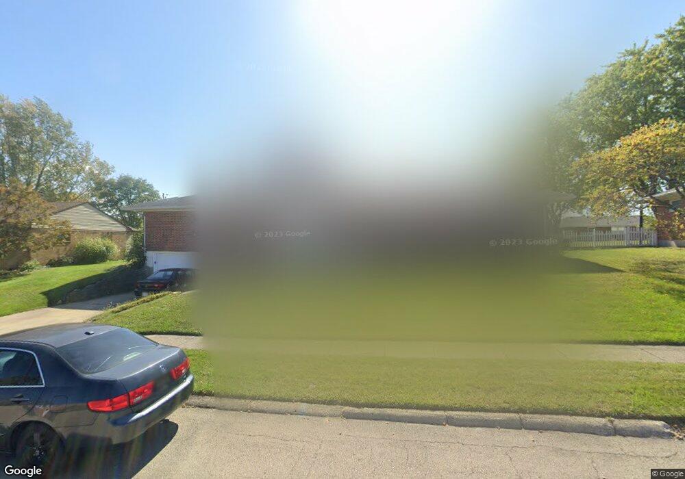
1415 Richmoor Rd Springfield, OH 45503
Estimated Value: $255,131 - $271,000
3
Beds
2
Baths
1,775
Sq Ft
$149/Sq Ft
Est. Value
About This Home
This home is located at 1415 Richmoor Rd, Springfield, OH 45503 and is currently estimated at $264,283, approximately $148 per square foot. 1415 Richmoor Rd is a home located in Clark County with nearby schools including Rolling Hills Elementary School, Northridge Elementary School, and Northridge Middle School.
Ownership History
Date
Name
Owned For
Owner Type
Purchase Details
Closed on
Aug 30, 2011
Sold by
Johnson Dorothy M
Bought by
Woods Steven D
Current Estimated Value
Home Financials for this Owner
Home Financials are based on the most recent Mortgage that was taken out on this home.
Original Mortgage
$131,502
Outstanding Balance
$91,459
Interest Rate
4.59%
Mortgage Type
New Conventional
Estimated Equity
$172,824
Purchase Details
Closed on
Nov 2, 2001
Sold by
Johnson Robert L and Johnson Dorothy M
Bought by
Johnson Robert L and Johnson Dorothy M
Create a Home Valuation Report for This Property
The Home Valuation Report is an in-depth analysis detailing your home's value as well as a comparison with similar homes in the area
Home Values in the Area
Average Home Value in this Area
Purchase History
| Date | Buyer | Sale Price | Title Company |
|---|---|---|---|
| Woods Steven D | $126,900 | Ohio Real Estate Title | |
| Johnson Robert L | -- | -- |
Source: Public Records
Mortgage History
| Date | Status | Borrower | Loan Amount |
|---|---|---|---|
| Open | Woods Steven D | $131,502 |
Source: Public Records
Tax History Compared to Growth
Tax History
| Year | Tax Paid | Tax Assessment Tax Assessment Total Assessment is a certain percentage of the fair market value that is determined by local assessors to be the total taxable value of land and additions on the property. | Land | Improvement |
|---|---|---|---|---|
| 2024 | $2,424 | $57,320 | $13,850 | $43,470 |
| 2023 | $2,424 | $57,320 | $13,850 | $43,470 |
| 2022 | $2,433 | $57,320 | $13,850 | $43,470 |
| 2021 | $2,480 | $49,520 | $10,340 | $39,180 |
| 2020 | $2,482 | $49,520 | $10,340 | $39,180 |
| 2019 | $2,529 | $49,520 | $10,340 | $39,180 |
| 2018 | $2,198 | $41,300 | $11,470 | $29,830 |
| 2017 | $1,884 | $45,557 | $11,470 | $34,087 |
| 2016 | $1,870 | $45,557 | $11,470 | $34,087 |
| 2015 | $1,878 | $45,557 | $11,470 | $34,087 |
| 2014 | $1,878 | $45,557 | $11,470 | $34,087 |
| 2013 | $1,834 | $45,557 | $11,470 | $34,087 |
Source: Public Records
Map
Nearby Homes
- 5127 Stoneridge Dr
- 5249 Taywell Dr
- 5220 Ridgewood Rd E
- 1709 Thomas Dr
- 4740 Merrimont Ave
- 4712 Cullen Ave
- 4622 W Ridgewood Rd
- 4849 Ashley Dr
- 4512 Ridgewood Rd E
- 4620 Eldora St
- 4620 Eldora Dr
- 4446 Ridgewood Rd E Unit 3
- 880 Brendle Trace Unit 28
- 916 Sawmill Ct
- 970 Forest Edge Ave
- Pendleton Plan at Liberty Place
- Holcombe Plan at Liberty Place
- Newcastle Plan at Liberty Place
- Chatham Plan at Liberty Place
- 1461 Student Ave
- 1419 Richmoor Rd
- 1405 Richmoor Rd
- 1336 Midland Rd
- 1400 Midland Rd
- 1401 Richmoor Rd
- 1418 Richmoor Rd
- 1412 Richmoor Rd
- 1410 Midland Rd
- 1423 Richmoor Rd
- 5111 Taywell Dr
- 1408 Richmoor Rd
- 1330 Midland Rd
- 5105 Taywell Dr
- 1422 Richmoor Rd
- 1400 Richmoor Rd
- 1337 Richmoor Rd
- 1339 Midland Rd
- 1418 Midland Rd
- 5141 Taywell Dr
- 1322 Midland Rd