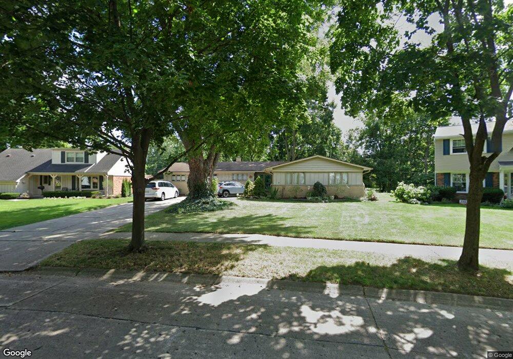
1415 Ross St Plymouth, MI 48170
Estimated Value: $523,000 - $706,000
4
Beds
3
Baths
2,096
Sq Ft
$277/Sq Ft
Est. Value
About This Home
This home is located at 1415 Ross St, Plymouth, MI 48170 and is currently estimated at $580,429, approximately $276 per square foot. 1415 Ross St is a home located in Wayne County with nearby schools including Canton High School, Smith Elementary School, and West Middle School.
Ownership History
Date
Name
Owned For
Owner Type
Purchase Details
Closed on
Dec 4, 2019
Sold by
Arney Jeffrey S and Arney Cheryl S
Bought by
Arney Jeffrey S and Arney Cheryl S
Current Estimated Value
Purchase Details
Closed on
Nov 10, 2004
Sold by
Laible Milton Graham and Laible Beatrice H
Bought by
Arney Jeffrey S and Arney Cheryl C
Home Financials for this Owner
Home Financials are based on the most recent Mortgage that was taken out on this home.
Original Mortgage
$26,500
Interest Rate
5.86%
Mortgage Type
Stand Alone Second
Create a Home Valuation Report for This Property
The Home Valuation Report is an in-depth analysis detailing your home's value as well as a comparison with similar homes in the area
Home Values in the Area
Average Home Value in this Area
Purchase History
| Date | Buyer | Sale Price | Title Company |
|---|---|---|---|
| Arney Jeffrey S | -- | None Available | |
| Arney Jeffrey S | $265,000 | 1St Security Title Agency In |
Source: Public Records
Mortgage History
| Date | Status | Borrower | Loan Amount |
|---|---|---|---|
| Closed | Arney Jeffrey S | $26,500 | |
| Open | Arney Jeffrey S | $212,000 |
Source: Public Records
Tax History Compared to Growth
Tax History
| Year | Tax Paid | Tax Assessment Tax Assessment Total Assessment is a certain percentage of the fair market value that is determined by local assessors to be the total taxable value of land and additions on the property. | Land | Improvement |
|---|---|---|---|---|
| 2025 | $6,653 | $328,100 | $0 | $0 |
| 2024 | $6,653 | $315,300 | $0 | $0 |
| 2023 | $6,480 | $275,200 | $0 | $0 |
| 2022 | $6,869 | $258,100 | $0 | $0 |
| 2021 | $6,656 | $252,800 | $0 | $0 |
| 2020 | $6,639 | $212,400 | $0 | $0 |
| 2019 | $5,845 | $210,900 | $0 | $0 |
| 2018 | $5,677 | $192,500 | $0 | $0 |
| 2017 | $1,203 | $188,000 | $0 | $0 |
| 2016 | $6,184 | $181,100 | $0 | $0 |
| 2015 | $14,164 | $153,260 | $0 | $0 |
| 2013 | $13,722 | $152,030 | $0 | $0 |
| 2011 | -- | $130,480 | $0 | $0 |
Source: Public Records
Map
Nearby Homes
- 1199 S Sheldon Rd Unit 77
- 44571 Clare Blvd
- 1125 Sutherland St
- 44736 Lynn Dr
- 1338 S Harvey St
- 44750 Erin Dr Unit 40
- 9453 Brookline Ave
- 44703 Erin Dr
- 44872 Lynn Dr
- 10839 Brookwood Dr
- 44877 Erin Dr Unit 2
- 844 Ross St
- 638 S Harvey St
- 9405 Northern Ave
- 9264 Brookline Ave
- 9230 Brookline Ave
- 553 Jener Place
- 685 Ross St
- 775 Deer Ct Unit 104
- 9060 N Sheldon Rd
- 1427 Ross St
- 1401 Ross St
- 1439 Ross St
- 1430 Ross St
- 1400 Ross St
- 1365 Ross St
- 1453 Ross St
- 1361 Ross St
- 1366 Ross St
- 1199 S Sheldon Rd Unit C-18
- 1199 S Sheldon Rd Unit 6
- 1199 S Sheldon Rd Unit L-86
- 1199 S Sheldon Rd Unit 3
- 1199 S Sheldon Rd Unit 31&32-BldgE
- 1199 S Sheldon Rd Unit 24
- 1199 S Sheldon Rd Unit 77-BldgK
- 1199 S Sheldon Rd Unit 76-BldgK
- 1199 S Sheldon Rd Unit 56-BldgH
- 1199 S Sheldon Rd Unit 11-BldgB
- 1199 S Sheldon Rd Unit 73-BldgK