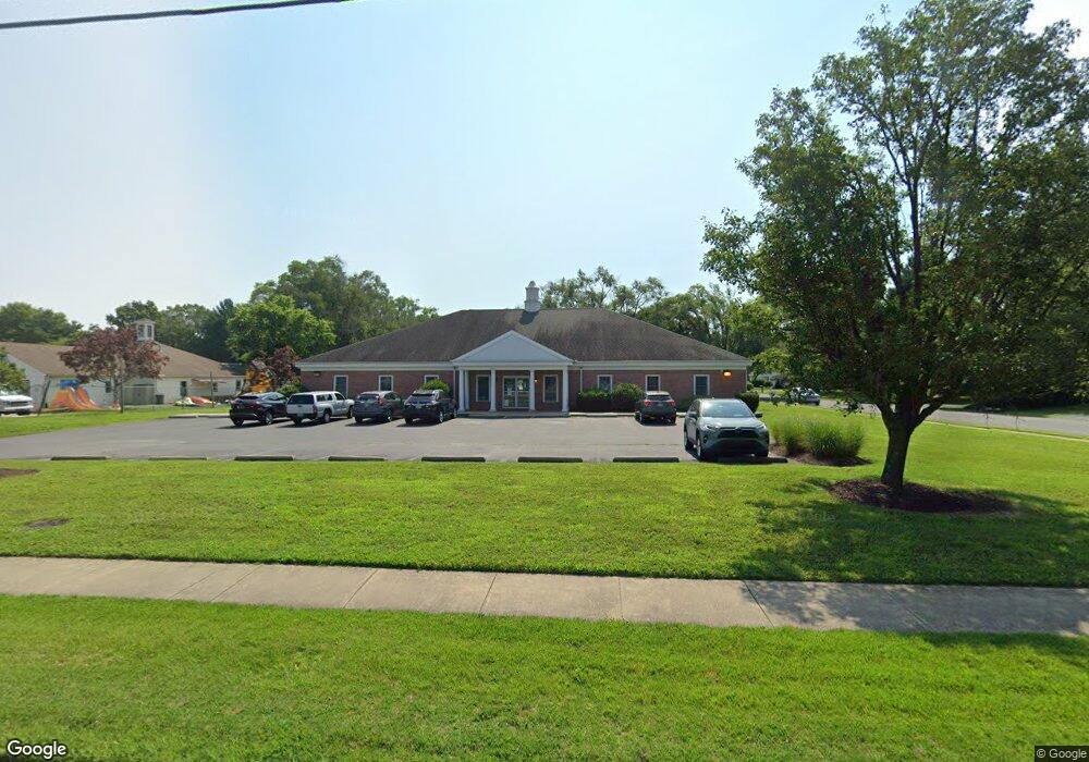
1415 S Division St Unit 1 Salisbury, MD 21804
South Salisbury NeighborhoodEstimated Value: $545,916
Studio
--
Bath
2,800
Sq Ft
$195/Sq Ft
Est. Value
About This Home
This home is located at 1415 S Division St Unit 1, Salisbury, MD 21804 and is currently estimated at $545,916, approximately $194 per square foot. 1415 S Division St Unit 1 is a home located in Wicomico County with nearby schools including Prince Street Elementary School, Bennett Middle School, and Parkside High School.
Ownership History
Date
Name
Owned For
Owner Type
Purchase Details
Closed on
Oct 19, 2021
Sold by
Natesan Family Real Estate Llc
Bought by
Map Sby Property Llc
Current Estimated Value
Home Financials for this Owner
Home Financials are based on the most recent Mortgage that was taken out on this home.
Original Mortgage
$318,750
Outstanding Balance
$291,007
Interest Rate
2.88%
Mortgage Type
Commercial
Estimated Equity
$254,909
Purchase Details
Closed on
Nov 3, 2003
Sold by
Natesan Velmourougane
Bought by
Natesan Family Real Estate Llc
Purchase Details
Closed on
Jul 3, 2002
Sold by
Ruark James M
Bought by
Natesan Velmourougane and Snitzer Jack L
Purchase Details
Closed on
Apr 27, 1988
Sold by
Twilley Robert B
Bought by
Ruark James M
Home Financials for this Owner
Home Financials are based on the most recent Mortgage that was taken out on this home.
Original Mortgage
$40,000
Interest Rate
10.3%
Create a Home Valuation Report for This Property
The Home Valuation Report is an in-depth analysis detailing your home's value as well as a comparison with similar homes in the area
Home Values in the Area
Average Home Value in this Area
Purchase History
| Date | Buyer | Sale Price | Title Company |
|---|---|---|---|
| Map Sby Property Llc | $425,000 | Eastern Shore Title Co | |
| Natesan Family Real Estate Llc | -- | -- | |
| Natesan Velmourougane | $105,000 | -- | |
| Ruark James M | $45,000 | -- |
Source: Public Records
Mortgage History
| Date | Status | Borrower | Loan Amount |
|---|---|---|---|
| Open | Map Sby Property Llc | $318,750 | |
| Previous Owner | Ruark James M | $40,000 |
Source: Public Records
Tax History
| Year | Tax Paid | Tax Assessment Tax Assessment Total Assessment is a certain percentage of the fair market value that is determined by local assessors to be the total taxable value of land and additions on the property. | Land | Improvement |
|---|---|---|---|---|
| 2025 | $3,710 | $406,000 | $121,800 | $284,200 |
| 2024 | $3,401 | $354,667 | $0 | $0 |
| 2023 | $2,999 | $303,333 | $0 | $0 |
| 2022 | $2,568 | $252,000 | $75,600 | $176,400 |
| 2021 | $2,576 | $252,000 | $75,600 | $176,400 |
| 2020 | $2,599 | $252,000 | $75,600 | $176,400 |
| 2019 | $2,637 | $252,000 | $75,600 | $176,400 |
| 2018 | $5,188 | $252,000 | $75,600 | $176,400 |
| 2017 | $5,117 | $252,000 | $0 | $0 |
| 2016 | -- | $252,000 | $0 | $0 |
| 2015 | $4,502 | $252,000 | $0 | $0 |
| 2014 | $4,502 | $252,000 | $0 | $0 |
Source: Public Records
Map
Nearby Homes
- 112 Johnson Dr
- 119 Lakewood Dr
- 212 Spring Crest Dr
- 1506 Rose Dr
- 133 Village Oak Dr
- 111 Francis Dr
- 138 Coulbourn Dr
- 131 Lakeview Dr
- 225 Canal Park Dr Unit 15
- 227 Canal Park Dr Unit 206
- 227 Canal Park Dr Unit 205
- 227 Canal Park Dr Unit 307
- 229 Canal Park Dr Unit 407
- 1165 S Division St
- 1515 Windham Ct
- 215 Pine Bluff Rd
- 152 Onley Rd
- 409 Rolling Rd
- 232 Morris Dr
- 4835 Goose Creek Dr
- 1415 S Division St Unit 1&2
- 1409 S Division St
- 107 May Dr
- 1405 S Division St
- 1501 S Division St
- 1412 S Division St
- 1414 S Division St
- 102 May Dr
- 104 May Dr
- 1503 S Division St
- 109 May Dr
- 101 Honeysuckle Dr
- 1408 Galway Cir
- 1406 Galway Cir
- 1500 S Division St
- 1404 Galway Cir
- 106 May Dr
- 1401 S Division St
- 1505 S Division St
- 1402 Galway Cir
Your Personal Tour Guide
Ask me questions while you tour the home.