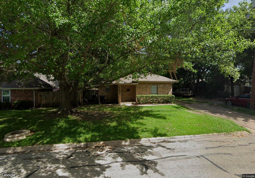
1415 W Pecan St Unit A Sherman, TX 75092
Estimated Value: $228,750 - $250,000
--
Bed
--
Bath
1,621
Sq Ft
$148/Sq Ft
Est. Value
About This Home
This home is located at 1415 W Pecan St Unit A, Sherman, TX 75092 and is currently estimated at $239,375, approximately $147 per square foot. 1415 W Pecan St Unit A is a home located in Grayson County with nearby schools including Wakefield Elementary School, Piner Middle School, and Dillingham Intermediate School.
Ownership History
Date
Name
Owned For
Owner Type
Purchase Details
Closed on
May 10, 2011
Sold by
The Secretary Of Housing & Urban Develop
Bought by
Baig Mirza
Current Estimated Value
Purchase Details
Closed on
Jan 10, 2011
Sold by
Chase Home Finance Llc
Bought by
The Secretary Of Housing & Urban Develop
Purchase Details
Closed on
Jan 4, 2011
Sold by
Aguirre Andres and Aguirre Luis
Bought by
Chase Home Finance Llc
Create a Home Valuation Report for This Property
The Home Valuation Report is an in-depth analysis detailing your home's value as well as a comparison with similar homes in the area
Home Values in the Area
Average Home Value in this Area
Purchase History
| Date | Buyer | Sale Price | Title Company |
|---|---|---|---|
| Baig Mirza | -- | None Available | |
| The Secretary Of Housing & Urban Develop | -- | None Available | |
| Chase Home Finance Llc | $99,510 | None Available |
Source: Public Records
Tax History Compared to Growth
Tax History
| Year | Tax Paid | Tax Assessment Tax Assessment Total Assessment is a certain percentage of the fair market value that is determined by local assessors to be the total taxable value of land and additions on the property. | Land | Improvement |
|---|---|---|---|---|
| 2025 | $4,460 | $178,010 | $55,310 | $122,700 |
| 2024 | $4,460 | $203,339 | $55,310 | $148,029 |
| 2023 | $4,220 | $192,192 | $48,978 | $143,214 |
| 2022 | $4,992 | $213,024 | $48,736 | $164,288 |
| 2021 | $4,675 | $186,536 | $43,376 | $143,160 |
| 2020 | $3,618 | $137,852 | $20,655 | $117,197 |
| 2019 | $3,204 | $118,870 | $10,022 | $108,848 |
| 2018 | $2,808 | $111,928 | $7,344 | $104,584 |
| 2017 | $2,262 | $90,863 | $7,344 | $83,519 |
| 2016 | $2,150 | $86,361 | $7,344 | $79,017 |
| 2015 | $0 | $84,976 | $7,344 | $77,632 |
| 2014 | -- | $78,566 | $7,344 | $71,222 |
Source: Public Records
Map
Nearby Homes
- 318 N Mckown Ave
- 422 N Mckown Ave
- 1407 Robin Dr
- 116 S Bryant Ave
- 1705 W Shields Dr
- 225 N Binkley St
- 616 Kessler Blvd
- 1601 Yarborough Dr
- 1608 Crescent Dr
- 716 Kessler Blvd
- 1523 Crescent Dr
- 720 N Mckown Ave
- 1400 Crescent Dr
- 736 Westwood Dr
- 1407 Crescent Dr
- 511 N Ricketts St
- 1401 Crescent Dr
- 545 N Wharton St
- 827 W Ellis St
- 600 Blanton Dr
- 305 Tolbert Ave
- 301 Tolbert Ave
- 309 Tolbert Ave
- 317 Tolbert Ave
- 308 N Holly Ave
- 300 N Holly Ave
- 312 N Holly Ave
- 221 Tolbert Ave
- 1410 W Mulberry St Unit 1412
- 1416 W Mulberry St
- 320 N Holly Ave
- 220 N Holly Ave
- 217 Tolbert Ave
- 210 N Holly Ave
- 326 Tolbert Ave
- 226 Tolbert Ave
- 209 Tolbert Ave
- 305 N Holly Ave
- 322 Tolbert Ave Unit 324
- 324 Tolbert Ave