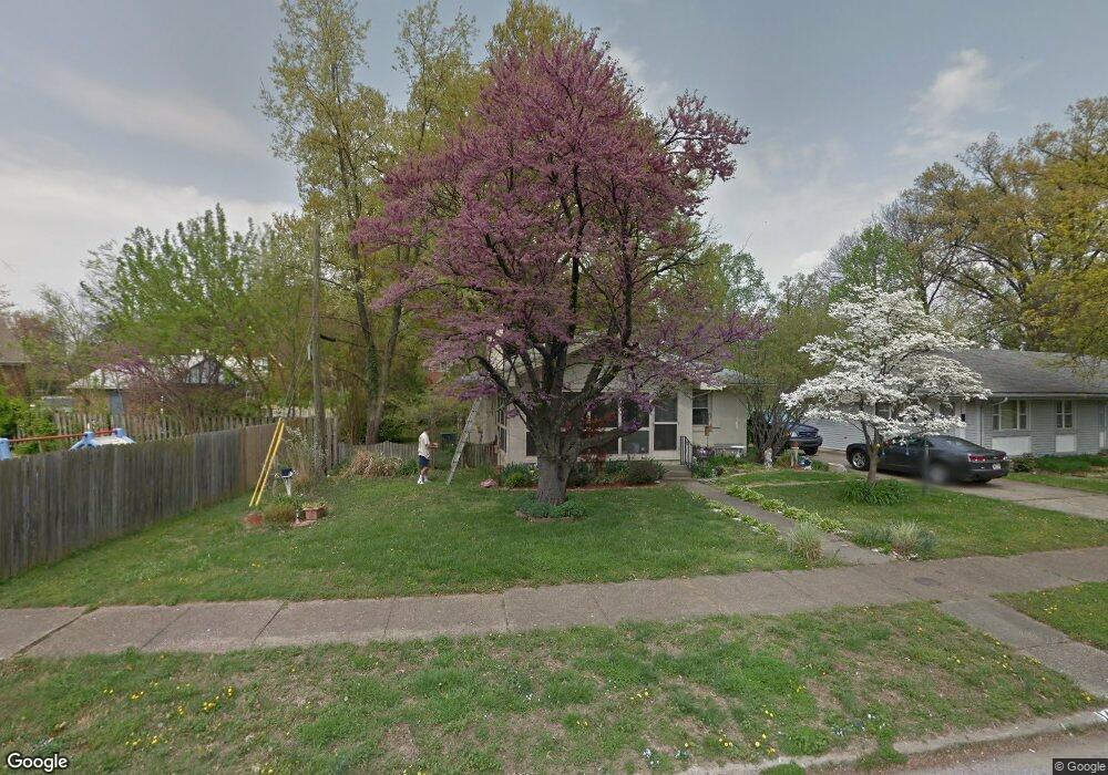
1416 Lant Cir Evansville, IN 47714
University South NeighborhoodEstimated Value: $170,000 - $204,000
3
Beds
3
Baths
2,648
Sq Ft
$71/Sq Ft
Est. Value
About This Home
This home is located at 1416 Lant Cir, Evansville, IN 47714 and is currently estimated at $188,247, approximately $71 per square foot. 1416 Lant Cir is a home located in Vanderburgh County with nearby schools including Benjamin Bosse High School, Harper Elementary School, and Washington Middle School.
Ownership History
Date
Name
Owned For
Owner Type
Purchase Details
Closed on
Mar 22, 2007
Sold by
Speck Nancy C
Bought by
Lauf Cindy G
Current Estimated Value
Home Financials for this Owner
Home Financials are based on the most recent Mortgage that was taken out on this home.
Original Mortgage
$81,500
Outstanding Balance
$10,225
Interest Rate
6.27%
Mortgage Type
New Conventional
Estimated Equity
$178,022
Create a Home Valuation Report for This Property
The Home Valuation Report is an in-depth analysis detailing your home's value as well as a comparison with similar homes in the area
Home Values in the Area
Average Home Value in this Area
Purchase History
| Date | Buyer | Sale Price | Title Company |
|---|---|---|---|
| Lauf Cindy G | -- | None Available |
Source: Public Records
Mortgage History
| Date | Status | Borrower | Loan Amount |
|---|---|---|---|
| Open | Lauf Cindy G | $81,500 |
Source: Public Records
Tax History Compared to Growth
Tax History
| Year | Tax Paid | Tax Assessment Tax Assessment Total Assessment is a certain percentage of the fair market value that is determined by local assessors to be the total taxable value of land and additions on the property. | Land | Improvement |
|---|---|---|---|---|
| 2024 | $1,566 | $146,800 | $21,600 | $125,200 |
| 2023 | $1,933 | $152,900 | $22,900 | $130,000 |
| 2022 | $1,639 | $129,600 | $22,900 | $106,700 |
| 2021 | $1,236 | $98,400 | $22,900 | $75,500 |
| 2020 | $1,329 | $107,800 | $22,900 | $84,900 |
| 2019 | $1,323 | $107,800 | $22,900 | $84,900 |
| 2018 | $1,273 | $107,800 | $22,900 | $84,900 |
| 2017 | $1,241 | $106,700 | $22,900 | $83,800 |
| 2016 | $1,208 | $106,500 | $22,900 | $83,600 |
| 2014 | $1,153 | $104,400 | $22,900 | $81,500 |
| 2013 | -- | $108,000 | $22,900 | $85,100 |
Source: Public Records
Map
Nearby Homes
- 723 S Rotherwood Ave
- 1110 Brookside Dr
- 701 College Hwy
- 1263 Washington Ave
- 628 Lodge Ave
- 1712 Washington Ave
- 623 S Runnymeade Ave
- 1114 S Englewood Ave
- 616 College Hwy
- Asher Plan at Briar Pointe Subdivision
- Cooper Plan at Briar Pointe Subdivision
- 1102 S Harlan Ave
- 1909 Southeast Blvd
- 1143 S Bennighof Ave
- 1913 Southeast Blvd
- 1112 S Harlan Ave
- 628 S Harlan Ave
- 1205 Lodge Ave
- 1201 Marshall Ave
- 1905 E Powell Ave