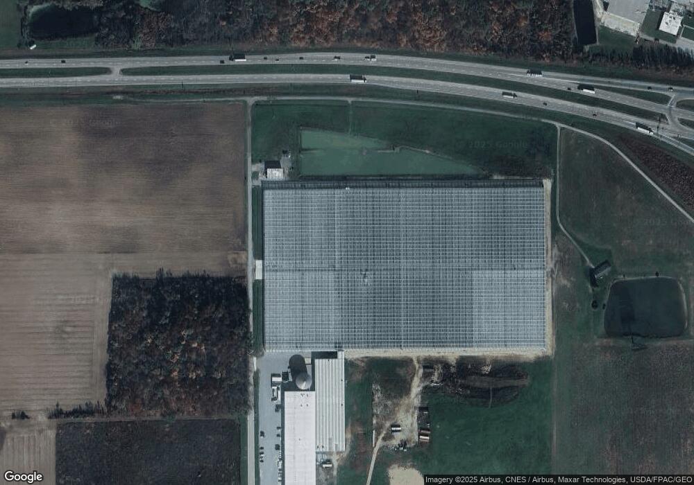
14162 Canning Factory Rd Wapakoneta, OH 45895
Estimated Value: $110,000
4
Beds
1
Bath
121,944
Sq Ft
$1/Sq Ft
Est. Value
About This Home
This home is located at 14162 Canning Factory Rd, Wapakoneta, OH 45895 and is currently priced at $110,000, approximately $0 per square foot. 14162 Canning Factory Rd is a home located in Auglaize County with nearby schools including Wapakoneta Elementary School, Wapakoneta High School, and Wapakoneta Middle School.
Ownership History
Date
Name
Owned For
Owner Type
Purchase Details
Closed on
May 17, 2016
Sold by
Smith Timothy M and Smith Kendra R
Bought by
Golden Fresh Famrs Enterprises Lp
Current Estimated Value
Purchase Details
Closed on
May 13, 2003
Bought by
Smith Timothy M
Purchase Details
Closed on
Nov 2, 2000
Sold by
Nuss Thomas L Carol Prenger
Bought by
Emerson Wagner Realty Co
Purchase Details
Closed on
Aug 6, 1999
Sold by
Nuss Thomas L Carol Prenger
Bought by
Nuss Thomas L Carol Prenger
Purchase Details
Closed on
May 19, 1999
Bought by
Nuss Thomas L Carol Prenger
Create a Home Valuation Report for This Property
The Home Valuation Report is an in-depth analysis detailing your home's value as well as a comparison with similar homes in the area
Home Values in the Area
Average Home Value in this Area
Purchase History
| Date | Buyer | Sale Price | Title Company |
|---|---|---|---|
| Golden Fresh Famrs Enterprises Lp | $275,000 | Attorney | |
| Smith Timothy M | $89,000 | -- | |
| Emerson Wagner Realty Co | $275,000 | -- | |
| Nuss Thomas L Carol Prenger | -- | -- | |
| Nuss Thomas L Carol Prenger | -- | -- |
Source: Public Records
Tax History Compared to Growth
Tax History
| Year | Tax Paid | Tax Assessment Tax Assessment Total Assessment is a certain percentage of the fair market value that is determined by local assessors to be the total taxable value of land and additions on the property. | Land | Improvement |
|---|---|---|---|---|
| 2024 | $3,488 | $82,340 | $82,340 | -- |
| 2023 | $2,976 | $82,340 | $82,340 | $0 |
| 2022 | $1,583 | $142,500 | $142,500 | $0 |
| 2021 | $1,582 | $142,500 | $142,500 | $0 |
| 2020 | $795 | $142,503 | $142,503 | $0 |
| 2019 | $2,755 | $142,503 | $142,503 | $0 |
| 2018 | $2,760 | $142,503 | $142,503 | $0 |
| 2017 | $2,688 | $133,756 | $133,756 | $0 |
| 2016 | $1,091 | $29,212 | $7,879 | $21,333 |
| 2015 | $1,077 | $29,212 | $7,879 | $21,333 |
| 2014 | $1,092 | $29,317 | $7,879 | $21,438 |
| 2013 | $1,112 | $29,317 | $7,879 | $21,438 |
Source: Public Records
Map
Nearby Homes
- 14164 Canning Factory Rd
- 1400 Lunar Dr
- 851 Industrial Dr
- 1208 Lunar Dr
- 1109 Lunar Dr
- 625 Commerce Rd
- 625 Commerce Rd
- 1113 Apollo Dr
- 0 Lunar Unit 733369
- 0 Lunar Unit 403219
- 0 Lunar Unit 311865
- 0 Lunar Unit 374279
- 0 Lunar Unit 415534
- 1105 Apollo Dr
- 1103 Apollo Dr
- 1391 State Route 33 St
- 323 Commerce Rd
- 803 Apollo Dr