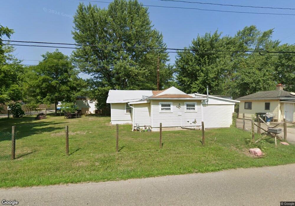
14170 Oyster Rd Alliance, OH 44601
Estimated Value: $47,000 - $59,000
1
Bed
1
Bath
660
Sq Ft
$79/Sq Ft
Est. Value
About This Home
This home is located at 14170 Oyster Rd, Alliance, OH 44601 and is currently estimated at $52,031, approximately $78 per square foot. 14170 Oyster Rd is a home located in Mahoning County with nearby schools including Alliance Intermediate School at Northside, Alliance Elementary School at Rockhill, and Alliance Middle School.
Ownership History
Date
Name
Owned For
Owner Type
Purchase Details
Closed on
Mar 5, 2013
Sold by
Masters Dwayne and Masters Delora
Bought by
Mkin Richard A and Makin Pamela K
Current Estimated Value
Home Financials for this Owner
Home Financials are based on the most recent Mortgage that was taken out on this home.
Original Mortgage
$3,000
Interest Rate
3.38%
Mortgage Type
Seller Take Back
Purchase Details
Closed on
Feb 27, 2013
Sold by
Masters Dwayne and Masters Delora
Bought by
Makin Richard A and Makin Pamela K
Home Financials for this Owner
Home Financials are based on the most recent Mortgage that was taken out on this home.
Original Mortgage
$3,000
Interest Rate
3.38%
Mortgage Type
Seller Take Back
Purchase Details
Closed on
Aug 31, 2010
Sold by
Savage Mary J
Bought by
Masters Dwayne and Masters Delora
Purchase Details
Closed on
May 8, 2002
Sold by
Estate Of Eldon L Savage
Bought by
Savage Mary J
Purchase Details
Closed on
Dec 3, 2001
Sold by
Estate Of Wilma Savage
Bought by
Savage Eldon L
Purchase Details
Closed on
Jul 29, 1983
Bought by
Savage Eldon L and Savage Wilma
Create a Home Valuation Report for This Property
The Home Valuation Report is an in-depth analysis detailing your home's value as well as a comparison with similar homes in the area
Home Values in the Area
Average Home Value in this Area
Purchase History
| Date | Buyer | Sale Price | Title Company |
|---|---|---|---|
| Mkin Richard A | $6,000 | Attorney | |
| Makin Richard A | $6,000 | Attorney | |
| Masters Dwayne | $20,000 | Sebring Title | |
| Savage Mary J | -- | -- | |
| Savage Eldon L | -- | -- | |
| Savage Eldon L | -- | -- |
Source: Public Records
Mortgage History
| Date | Status | Borrower | Loan Amount |
|---|---|---|---|
| Previous Owner | Mkin Richard A | $3,000 |
Source: Public Records
Tax History Compared to Growth
Tax History
| Year | Tax Paid | Tax Assessment Tax Assessment Total Assessment is a certain percentage of the fair market value that is determined by local assessors to be the total taxable value of land and additions on the property. | Land | Improvement |
|---|---|---|---|---|
| 2024 | $246 | $5,880 | $730 | $5,150 |
| 2023 | $256 | $5,880 | $730 | $5,150 |
| 2022 | $275 | $6,090 | $570 | $5,520 |
| 2021 | $276 | $6,090 | $570 | $5,520 |
| 2020 | $286 | $6,090 | $570 | $5,520 |
| 2019 | $255 | $5,210 | $570 | $4,640 |
| 2018 | $278 | $5,210 | $570 | $4,640 |
| 2017 | $275 | $5,210 | $570 | $4,640 |
| 2016 | $340 | $6,410 | $570 | $5,840 |
| 2015 | $334 | $6,410 | $570 | $5,840 |
| 2014 | $43 | $6,410 | $570 | $5,840 |
| 2013 | $430 | $6,410 | $570 | $5,840 |
Source: Public Records
Map
Nearby Homes
- 22841 Lake Park Blvd
- 831 Wade Ave
- 1233 Woodland Ave
- 814 Milner St
- 1044 S Liberty Ave
- 442 S Liberty Ave
- 834 Devine St
- 815 Grace St
- 729 Waugh St
- 548 E High St
- 1005 S Freedom Ave
- 452 E Summit St
- V/L S Fredeom Ave
- 432 S Linden Ave
- 404 S Linden Ave
- 328 N Webb Ave
- 1437 S Linden Ave
- 361 E Main St
- 1846 S Freedom Ave
- 167 11th St
- 22420 Norman Ave
- 22411 Alden Ave
- 22421 Alden Ave
- 14189 Oyster Rd
- 22411 Norman Ave
- 22456 Norman Ave
- 14125 Oyster Rd
- 22462 Norman Ave
- 22438 Alden Ave
- 22471 Alden Ave
- 22410 Alden Ave
- 22420 Alden Ave
- 22430 Alden Ave
- 22462 Alden Ave
- 14103 Oyster Rd
- 22385 Lake Park Blvd
- 22365 Norman Ave
- 22501 Alden Ave
- 22490 Alden Ave
- 22346 Norman Ave