14174 S Alder Creek Ln Mulino, OR 97042
Estimated Value: $713,000 - $1,293,000
5
Beds
3
Baths
3,192
Sq Ft
$289/Sq Ft
Est. Value
About This Home
This home is located at 14174 S Alder Creek Ln, Mulino, OR 97042 and is currently estimated at $923,998, approximately $289 per square foot. 14174 S Alder Creek Ln is a home located in Clackamas County.
Ownership History
Date
Name
Owned For
Owner Type
Purchase Details
Closed on
Apr 18, 2006
Sold by
Parker Anne
Bought by
Anthony Terry L
Current Estimated Value
Home Financials for this Owner
Home Financials are based on the most recent Mortgage that was taken out on this home.
Original Mortgage
$265,000
Outstanding Balance
$150,827
Interest Rate
6.29%
Mortgage Type
Fannie Mae Freddie Mac
Estimated Equity
$773,171
Purchase Details
Closed on
May 17, 2002
Sold by
Staffordshire Investment Inc
Bought by
Parker Anne
Home Financials for this Owner
Home Financials are based on the most recent Mortgage that was taken out on this home.
Original Mortgage
$212,700
Interest Rate
7.13%
Create a Home Valuation Report for This Property
The Home Valuation Report is an in-depth analysis detailing your home's value as well as a comparison with similar homes in the area
Home Values in the Area
Average Home Value in this Area
Purchase History
| Date | Buyer | Sale Price | Title Company |
|---|---|---|---|
| Anthony Terry L | $385,000 | First American | |
| Parker Anne | $265,930 | Pacific Nw Title |
Source: Public Records
Mortgage History
| Date | Status | Borrower | Loan Amount |
|---|---|---|---|
| Open | Anthony Terry L | $265,000 | |
| Previous Owner | Parker Anne | $212,700 | |
| Closed | Parker Anne | $39,850 |
Source: Public Records
Tax History Compared to Growth
Tax History
| Year | Tax Paid | Tax Assessment Tax Assessment Total Assessment is a certain percentage of the fair market value that is determined by local assessors to be the total taxable value of land and additions on the property. | Land | Improvement |
|---|---|---|---|---|
| 2025 | $5,358 | $351,940 | -- | -- |
| 2024 | $4,871 | $321,128 | -- | -- |
| 2023 | $4,871 | $311,776 | $0 | $0 |
| 2022 | $4,129 | $302,695 | $0 | $0 |
| 2021 | $3,951 | $293,877 | $0 | $0 |
| 2020 | $3,844 | $285,317 | $0 | $0 |
| 2019 | $3,734 | $277,008 | $0 | $0 |
| 2018 | $3,633 | $268,943 | $0 | $0 |
| 2017 | $3,444 | $261,109 | $0 | $0 |
| 2016 | $3,247 | $253,504 | $0 | $0 |
| 2015 | $3,157 | $246,120 | $0 | $0 |
| 2014 | $3,057 | $238,953 | $0 | $0 |
Source: Public Records
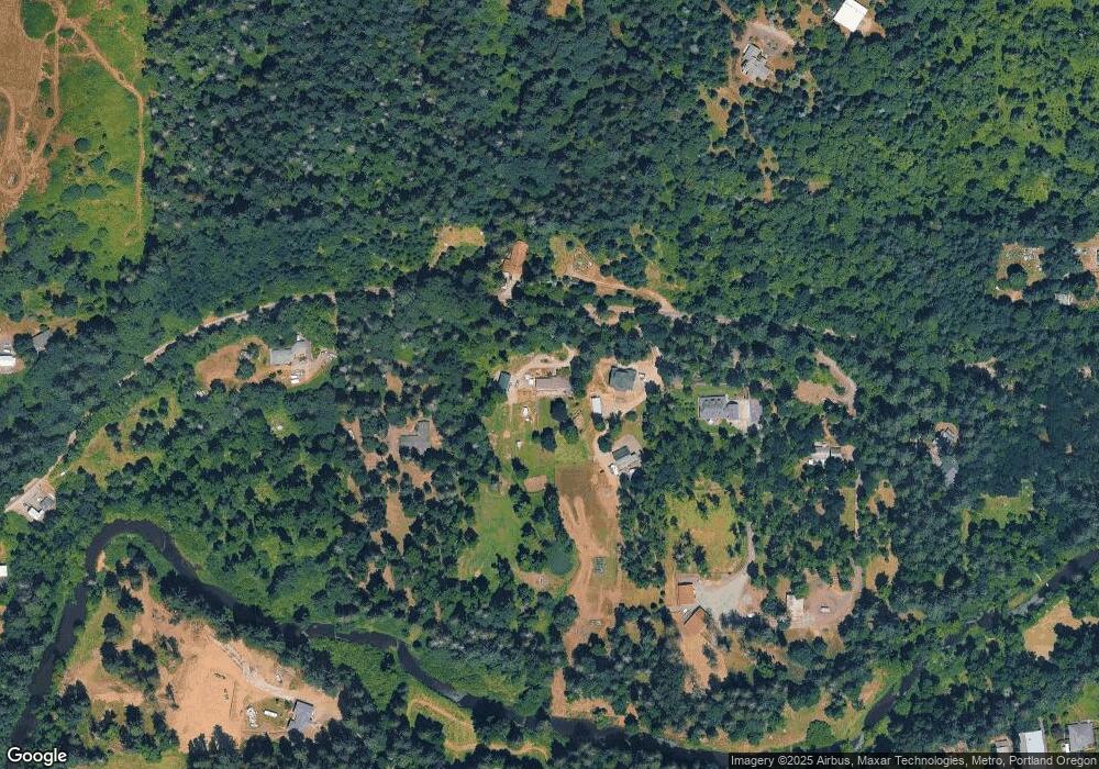
Map
Nearby Homes
- 26250 S Milk Creek Cir
- 13511 S Freeman Rd
- 0 S Ranch Hills Rd
- 14980 S Buckner Creek Rd
- 13920 S Lucia Ln
- 26684 S Fish Rd
- 26740 S Fish Rd
- 15693 S Hidden Rd
- 24450 S Highway 213
- 14001 S Union Mills Rd
- 12192 S Mulino Rd
- 16428 S Buckner Creek Rd
- 0000 S Buckner Creek Rd
- 15678 S Spangler Rd
- 28502 S Highway 213
- 28502 Oregon 213
- 15441 S Union Mills Rd
- 12051 S Riggs Damm Rd
- 23501 S Beatie Rd
- 11600 S Emerson Rd
- 14200 S Alder Creek Ln
- 14141 S Alder Creek Ln
- 14136 S Alder Creek Ln
- 14280 S Alder Creek Ln
- 14054 S Alder Creek Ln
- 14123 S Graves Rd
- 14400 S Alder Creek Ln
- 14113 S Graves Rd
- 14222 S Buckner Creek Rd
- 14228 S Buckner Creek Rd
- 14205 S Graves Rd
- 14211 S Graves Rd
- 26016 S Eldorado Rd
- 14152 S Buckner Creek Rd
- 13900 S Alder Creek Ln
- 26211 S Milk Creek Cir
- 14491 S Alder Creek Ln
- 14215 S Graves Rd
- 26195 S Milk Creek Cir