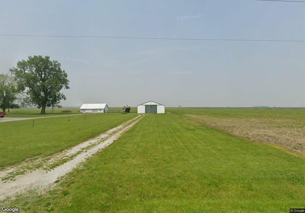
14175 E 1100 North Rd Pontiac, IL 61764
Estimated Value: $167,000 - $209,000
3
Beds
1
Bath
1,550
Sq Ft
$120/Sq Ft
Est. Value
About This Home
This home is located at 14175 E 1100 North Rd, Pontiac, IL 61764 and is currently estimated at $186,385, approximately $120 per square foot. 14175 E 1100 North Rd is a home located in Livingston County with nearby schools including Central Elementary School, Lincoln Elementary School, and Washington Elementary School.
Ownership History
Date
Name
Owned For
Owner Type
Purchase Details
Closed on
Aug 11, 2020
Sold by
Foster Robert W and Foster Leslie
Bought by
Filipiak Brian A and Filipiak Jennifer A
Current Estimated Value
Home Financials for this Owner
Home Financials are based on the most recent Mortgage that was taken out on this home.
Original Mortgage
$131,572
Outstanding Balance
$116,496
Interest Rate
2.9%
Mortgage Type
FHA
Estimated Equity
$69,889
Create a Home Valuation Report for This Property
The Home Valuation Report is an in-depth analysis detailing your home's value as well as a comparison with similar homes in the area
Home Values in the Area
Average Home Value in this Area
Purchase History
| Date | Buyer | Sale Price | Title Company |
|---|---|---|---|
| Filipiak Brian A | $134,000 | None Available |
Source: Public Records
Mortgage History
| Date | Status | Borrower | Loan Amount |
|---|---|---|---|
| Open | Filipiak Brian A | $131,572 |
Source: Public Records
Tax History Compared to Growth
Tax History
| Year | Tax Paid | Tax Assessment Tax Assessment Total Assessment is a certain percentage of the fair market value that is determined by local assessors to be the total taxable value of land and additions on the property. | Land | Improvement |
|---|---|---|---|---|
| 2024 | $3,666 | $53,817 | $9,316 | $44,501 |
| 2023 | $3,450 | $49,103 | $8,500 | $40,603 |
| 2022 | $3,559 | $48,875 | $7,834 | $41,041 |
| 2021 | $3,345 | $45,935 | $7,363 | $38,572 |
| 2020 | $2,969 | $40,710 | $7,012 | $33,698 |
| 2019 | $3,078 | $40,710 | $7,012 | $33,698 |
| 2018 | $3,195 | $41,977 | $9,136 | $32,841 |
| 2017 | $3,063 | $40,754 | $8,870 | $31,884 |
| 2013 | $2,387 | $34,221 | $8,103 | $26,118 |
Source: Public Records
Map
Nearby Homes
- 11 Block
- 31439 2nd St
- 602 N 4th Ave
- 301 N 2nd Ave
- 10788 N 1000 Rd E
- 503 N Commercial St
- 605 Morningside Dr
- 319 N Letcher St
- 14373 N 1700 Rd E
- 9898 E 1200 North Rd
- 725 Sheridan St
- 29758 N 2850 East Rd
- 1702 S Plum St
- 922 S Mill St
- 220 W Bennett St
- 1204 W Reynolds St
- 219 W Bennett St
- 105 Carol Ct Unit C-1
- 319 W Moulton St
- 811 W South St
- 14149 E 1100 North Rd
- 14175 E 1100 North Rd
- 14655 E 1100 North Rd
- 14655 E 1100 Rd N
- 10690 N 1400 East Rd
- 10690 N 1400 East Rd
- 13472 E 1100 North Rd
- 10364 N 1400 East Rd
- 10526 N 1300 East Rd
- 13255 E 1100 North Rd
- 13255 E 1100 North Rd
- 13255 east 1100 Rd N
- 13255 E 1100 Rd N
- 14240 E 1200 North Rd
- 13137 E 1100 North Rd
- 13133 E 1100 North Rd
- 13133 E 1100 North Rd