Estimated Value: $404,000 - $443,308
4
Beds
3
Baths
2,634
Sq Ft
$159/Sq Ft
Est. Value
About This Home
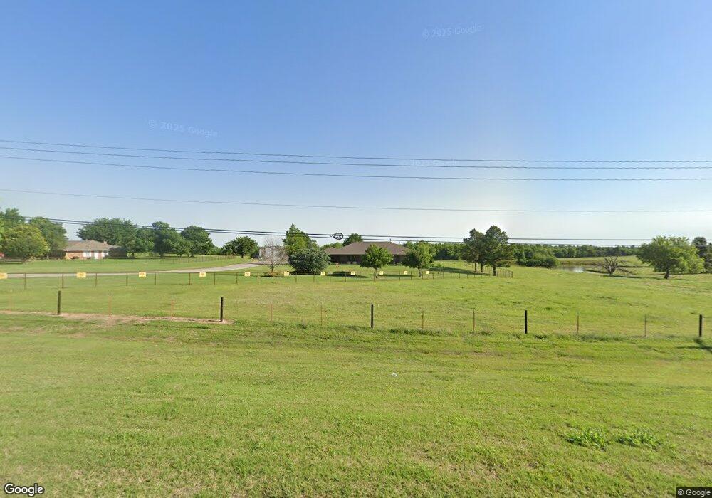
This home is located at 14175 W Highway 66, Yukon, OK 73099 and is currently estimated at $419,436, approximately $159 per square foot. 14175 W Highway 66 is a home located in Canadian County with nearby schools including Banner School and St. John Nepomuk Catholic School.
Ownership History
Date
Name
Owned For
Owner Type
Purchase Details
Closed on
Mar 5, 2009
Sold by
Mcalister Keith Vian and Mcalister Amy
Bought by
Mcalister Keith Vian and Mcalister Amy
Current Estimated Value
Home Financials for this Owner
Home Financials are based on the most recent Mortgage that was taken out on this home.
Original Mortgage
$124,500
Outstanding Balance
$31,032
Interest Rate
5.06%
Mortgage Type
New Conventional
Estimated Equity
$388,404
Purchase Details
Closed on
Nov 29, 2005
Sold by
Mcalister Keith Vian
Bought by
Mcalister Keith Vian and Westhusin Amy
Home Financials for this Owner
Home Financials are based on the most recent Mortgage that was taken out on this home.
Original Mortgage
$225,000
Interest Rate
7.5%
Mortgage Type
Future Advance Clause Open End Mortgage
Create a Home Valuation Report for This Property
The Home Valuation Report is an in-depth analysis detailing your home's value as well as a comparison with similar homes in the area
Home Values in the Area
Average Home Value in this Area
Purchase History
| Date | Buyer | Sale Price | Title Company |
|---|---|---|---|
| Mcalister Keith Vian | -- | First American Title | |
| Mcalister Keith Vian | -- | None Available |
Source: Public Records
Mortgage History
| Date | Status | Borrower | Loan Amount |
|---|---|---|---|
| Open | Mcalister Keith Vian | $124,500 | |
| Closed | Mcalister Keith Vian | $225,000 |
Source: Public Records
Tax History Compared to Growth
Tax History
| Year | Tax Paid | Tax Assessment Tax Assessment Total Assessment is a certain percentage of the fair market value that is determined by local assessors to be the total taxable value of land and additions on the property. | Land | Improvement |
|---|---|---|---|---|
| 2024 | $2,611 | $35,072 | $2,128 | $32,944 |
| 2023 | $2,611 | $34,051 | $2,097 | $31,954 |
| 2022 | $2,568 | $33,060 | $2,061 | $30,999 |
| 2021 | $2,512 | $32,097 | $1,994 | $30,103 |
| 2020 | $2,417 | $31,162 | $1,911 | $29,251 |
| 2019 | $2,365 | $30,254 | $1,835 | $28,419 |
| 2018 | $2,335 | $29,373 | $1,761 | $27,612 |
| 2017 | $2,163 | $28,518 | $1,658 | $26,860 |
| 2016 | $2,056 | $28,518 | $1,658 | $26,860 |
| 2015 | -- | $26,881 | $1,658 | $25,223 |
| 2014 | -- | $26,098 | $1,658 | $24,440 |
Source: Public Records
Map
Nearby Homes
- 0 U S Route 66
- 613 Side Track Rd
- 409 Frisco Ridge Rd
- 1913 Tinder St
- 632 Signalman
- 1805 Hobo St
- 3501 Shell Ln
- 709 Hamlet Ln
- 1101 W Main St
- 1016 Maple Ave
- 1004 Cedar Ave
- 417 Garth Brooks Blvd
- 9116 Anaum Ln
- 624 Frisco Ridge Rd
- 10301 Two Lakes Dr
- 10608 Blue Creek Dr
- 10712 Two Lakes Dr
- 11625 NW 104th St
- 10624 Two Lakes Dr
- 11325 SW 34th Terrace
- 14201 W Highway 66
- 14101 W Highway 66
- 3605 N Frisco Rd
- 13517 NW 36th St
- 3416 Mt Nebo Dr
- 3400 Mt Nebo Dr
- 3432 Mount Nebo Dr
- 3436 Mount Nebo Dr
- 0 Route 66
- 1825 W Highway 66
- 408 Switch Ct
- 504 Side Track Rd
- 516 Side Track Rd
- 520 Side Track Rd
- 532 Side Track Rd
- 420 Switch Ct
- 409 Switch Ct
- 604 Side Track Rd
- 413 Switch Ct
- 500 Switch Rd