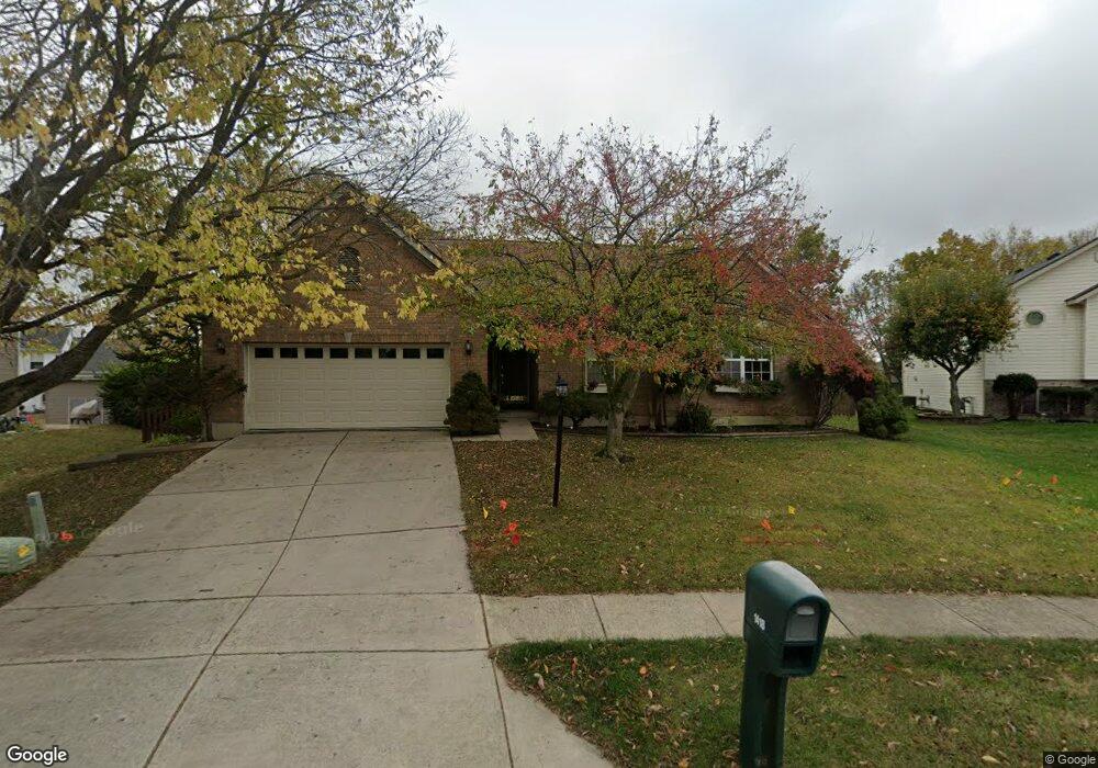
1418 Brookstone Dr Fairborn, OH 45324
Estimated Value: $318,590 - $365,000
3
Beds
3
Baths
1,914
Sq Ft
$177/Sq Ft
Est. Value
About This Home
This home is located at 1418 Brookstone Dr, Fairborn, OH 45324 and is currently estimated at $338,648, approximately $176 per square foot. 1418 Brookstone Dr is a home located in Greene County with nearby schools including Fairborn Primary School, Fairborn Intermediate School, and Fairborn Middle School.
Ownership History
Date
Name
Owned For
Owner Type
Purchase Details
Closed on
Nov 25, 1998
Sold by
Inverness Group Inc
Bought by
Brown Frigga S
Current Estimated Value
Home Financials for this Owner
Home Financials are based on the most recent Mortgage that was taken out on this home.
Original Mortgage
$125,000
Outstanding Balance
$24,942
Interest Rate
7.02%
Estimated Equity
$313,706
Purchase Details
Closed on
Jul 9, 1998
Sold by
Sentinel Ridge Development Company Ltd
Bought by
Inverness Group Inc
Home Financials for this Owner
Home Financials are based on the most recent Mortgage that was taken out on this home.
Original Mortgage
$3,500,000
Interest Rate
7.15%
Create a Home Valuation Report for This Property
The Home Valuation Report is an in-depth analysis detailing your home's value as well as a comparison with similar homes in the area
Home Values in the Area
Average Home Value in this Area
Purchase History
| Date | Buyer | Sale Price | Title Company |
|---|---|---|---|
| Brown Frigga S | $169,400 | -- | |
| Inverness Group Inc | $25,900 | -- |
Source: Public Records
Mortgage History
| Date | Status | Borrower | Loan Amount |
|---|---|---|---|
| Open | Brown Frigga S | $125,000 | |
| Previous Owner | Inverness Group Inc | $3,500,000 |
Source: Public Records
Tax History
| Year | Tax Paid | Tax Assessment Tax Assessment Total Assessment is a certain percentage of the fair market value that is determined by local assessors to be the total taxable value of land and additions on the property. | Land | Improvement |
|---|---|---|---|---|
| 2025 | $3,783 | $90,440 | $16,480 | $73,960 |
| 2024 | $3,783 | $90,440 | $16,480 | $73,960 |
| 2023 | $3,770 | $90,440 | $16,480 | $73,960 |
| 2022 | $3,261 | $67,410 | $13,730 | $53,680 |
| 2021 | $3,310 | $67,410 | $13,730 | $53,680 |
| 2020 | $3,326 | $67,410 | $13,730 | $53,680 |
| 2019 | $2,989 | $61,640 | $12,610 | $49,030 |
| 2018 | $3,021 | $61,640 | $12,610 | $49,030 |
| 2017 | $2,954 | $61,640 | $12,610 | $49,030 |
| 2016 | $3,204 | $64,850 | $12,610 | $52,240 |
| 2015 | $3,051 | $64,850 | $12,610 | $52,240 |
| 2014 | $2,949 | $64,850 | $12,610 | $52,240 |
Source: Public Records
Map
Nearby Homes
- 1200 Whitetail Dr
- 1121 Whitetail Dr
- 1105 Windsong Trail
- 2549 Fawn Dr
- 00 Trebein Rd
- 1840 Spring Ridge Ct
- 1010 Brehm Blvd
- 1788 Fawnwood Ct
- Lot 1 Trebein Rd
- 1494 Indigo Dr
- 1183 Brehm Blvd
- 1155 Elloway Place
- 1634 Arden Bend
- 630 Hidden Valley Ct
- 1622 Arden Bend
- 479 Park Hills Crossing
- 474 Kalynn Cir
- 474 Kalynn Cir Unit 19
- 482 Kalynn Cir Unit 18
- 444 Park Hills Crossing Unit 54
- 1420 Brookstone Dr
- 1412 Brookstone Dr
- 2275 Weston Dr
- 2267 Weston Dr
- 2283 Weston Dr
- 1406 Brookstone Dr
- 2259 Weston Dr
- 1409 Brookstone Dr
- 1417 Brookstone Dr
- 1432 Vanderlyn Ct
- 2289 Weston Dr
- 1440 Vanderlyn Ct
- 2300 Watchtower Ln
- 1420 Vanderlyn Ct
- 2295 Weston Dr
- 1419 Guardian Ct
- 1401 Brookstone Dr
- 2272 Weston Dr
- 2254 Talbot Ct
- 1427 Guardian Ct
Your Personal Tour Guide
Ask me questions while you tour the home.