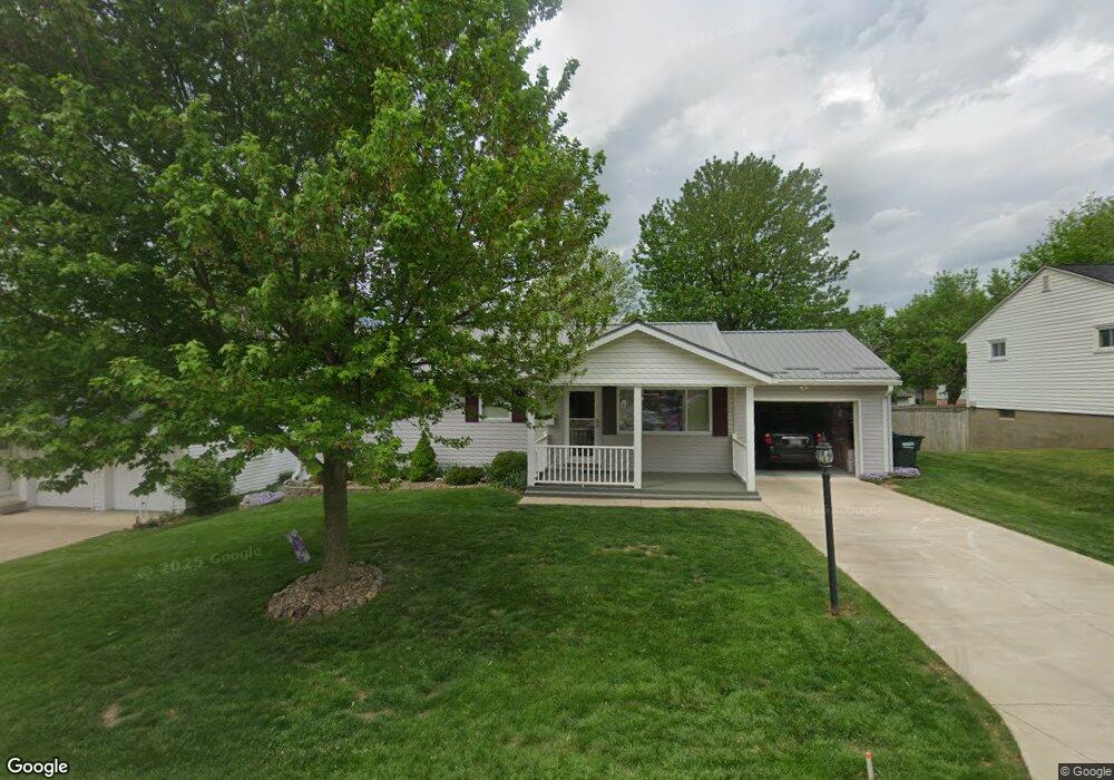
1418 Canoe Ln Coshocton, OH 43812
Estimated Value: $204,000 - $233,000
3
Beds
2
Baths
1,608
Sq Ft
$133/Sq Ft
Est. Value
About This Home
This home is located at 1418 Canoe Ln, Coshocton, OH 43812 and is currently estimated at $213,687, approximately $132 per square foot. 1418 Canoe Ln is a home located in Coshocton County with nearby schools including Coshocton High School, Coshocton Opportunity School, and Sacred Heart Elementary School.
Ownership History
Date
Name
Owned For
Owner Type
Purchase Details
Closed on
Jan 14, 2021
Sold by
Estate Of Terry W Mcinerney
Bought by
Mcinerney Sue E
Current Estimated Value
Purchase Details
Closed on
Jun 7, 1995
Sold by
Myers Frances R
Bought by
Mcinerney Terry W
Create a Home Valuation Report for This Property
The Home Valuation Report is an in-depth analysis detailing your home's value as well as a comparison with similar homes in the area
Home Values in the Area
Average Home Value in this Area
Purchase History
| Date | Buyer | Sale Price | Title Company |
|---|---|---|---|
| Mcinerney Sue E | -- | None Available | |
| Mcinerney Terry W | $77,000 | -- |
Source: Public Records
Tax History
| Year | Tax Paid | Tax Assessment Tax Assessment Total Assessment is a certain percentage of the fair market value that is determined by local assessors to be the total taxable value of land and additions on the property. | Land | Improvement |
|---|---|---|---|---|
| 2024 | $2,008 | $48,640 | $8,810 | $39,830 |
| 2023 | $2,008 | $36,799 | $6,160 | $30,639 |
| 2022 | $1,752 | $36,799 | $6,160 | $30,639 |
| 2021 | $915 | $36,799 | $6,160 | $30,639 |
| 2020 | $1,839 | $37,349 | $6,010 | $31,339 |
| 2019 | $1,801 | $37,349 | $6,010 | $31,339 |
| 2018 | $844 | $37,349 | $6,010 | $31,339 |
| 2017 | $1,168 | $31,367 | $5,355 | $26,012 |
| 2016 | $877 | $31,367 | $5,355 | $26,012 |
| 2015 | $561 | $31,367 | $5,355 | $26,012 |
| 2014 | $1,371 | $29,992 | $7,364 | $22,628 |
Source: Public Records
Map
Nearby Homes
- 0 Pleasant Valley Dr
- 1681 Knob Hill Dr
- 1691 Knob Hill Dr
- 1336 S 13th St
- 1215 Denman Ave
- 1425 Cassingham Hollow Dr
- 885 Sheridan Rd
- Lot 8 Country Club Dr
- Lot 2 Country Club Dr
- Lot 1 Country Club Dr
- Lot 5 Country Club Dr
- Lot 4 Country Club Dr
- Lot 3 Country Club Dr
- Lot 6 Country Club Dr
- Lot 7 Country Club Dr
- 2079 Buena Vista Dr
- Lot# 7, S 12th St
- 849 S Lawn Ave
- 828 Green Dr
- 597 S 12th St
- 1416 Canoe Ln
- 1422 Canoe Ln
- 1417 Tomahawk Ln
- 1415 Tomahawk Ln
- 1868 S 14th St
- 1421 Tomahawk Ln
- 1415 Canoe Ln
- 1818 S 14th St
- 1419 Canoe Ln
- 1427 Tomahawk Ln
- 1918 S 14th St
- 1867 S 14th St
- 1418 Tomahawk Ln
- 1416 Tomahawk Ln
- 1817 S 14th St
- 1422 Tomahawk Ln
- 1428 Tomahawk Ln
- 1365 Canoe Ln
- 1970 S 14th St
- 1358 Canoe Ln
Your Personal Tour Guide
Ask me questions while you tour the home.