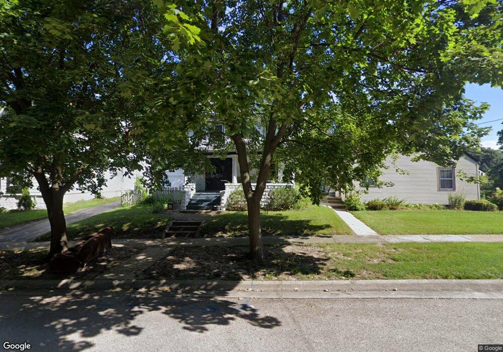
1418 Cosper Ave Rockford, IL 61107
Brown Hills-Knightville NeighborhoodEstimated Value: $179,000 - $222,000
4
Beds
2
Baths
2,122
Sq Ft
$95/Sq Ft
Est. Value
About This Home
This home is located at 1418 Cosper Ave, Rockford, IL 61107 and is currently estimated at $201,895, approximately $95 per square foot. 1418 Cosper Ave is a home located in Winnebago County with nearby schools including Clifford P. Carlson Elementary School, Eisenhower Middle School, and Guilford High School.
Ownership History
Date
Name
Owned For
Owner Type
Purchase Details
Closed on
Jun 7, 2022
Sold by
Rabon Dennis L
Bought by
Rabon Erin N
Current Estimated Value
Home Financials for this Owner
Home Financials are based on the most recent Mortgage that was taken out on this home.
Original Mortgage
$109,869
Outstanding Balance
$104,375
Interest Rate
5.09%
Mortgage Type
FHA
Estimated Equity
$97,520
Purchase Details
Closed on
May 30, 2007
Bought by
Rabon Dennis L and Rabon Erin N
Create a Home Valuation Report for This Property
The Home Valuation Report is an in-depth analysis detailing your home's value as well as a comparison with similar homes in the area
Home Values in the Area
Average Home Value in this Area
Purchase History
| Date | Buyer | Sale Price | Title Company |
|---|---|---|---|
| Rabon Erin N | -- | Boston National Title | |
| Rabon Dennis L | $137,000 | -- |
Source: Public Records
Mortgage History
| Date | Status | Borrower | Loan Amount |
|---|---|---|---|
| Open | Rabon Erin N | $109,869 |
Source: Public Records
Tax History Compared to Growth
Tax History
| Year | Tax Paid | Tax Assessment Tax Assessment Total Assessment is a certain percentage of the fair market value that is determined by local assessors to be the total taxable value of land and additions on the property. | Land | Improvement |
|---|---|---|---|---|
| 2024 | $4,305 | $51,432 | $4,607 | $46,825 |
| 2023 | $4,086 | $45,350 | $4,062 | $41,288 |
| 2022 | $3,946 | $40,535 | $3,631 | $36,904 |
| 2021 | $3,820 | $37,167 | $3,329 | $33,838 |
| 2020 | $3,746 | $35,136 | $3,147 | $31,989 |
| 2019 | $3,682 | $33,488 | $2,999 | $30,489 |
| 2018 | $3,395 | $29,910 | $2,826 | $27,084 |
| 2017 | $3,357 | $28,625 | $2,705 | $25,920 |
| 2016 | $3,337 | $28,088 | $2,654 | $25,434 |
| 2015 | $3,379 | $28,088 | $2,654 | $25,434 |
| 2014 | $4,043 | $32,827 | $3,318 | $29,509 |
Source: Public Records
Map
Nearby Homes
- 1514 Brownwood Dr
- 1370 Brown Hills Rd
- 1350 Greenwood Ave
- 1308 Harlem Blvd
- 16XX Greenmount St Unit ST
- 1218 Harlem Blvd
- 1519 Jackson St
- 1611 Jackson St
- 1718 Camp Ave
- 1831 Camp Ave
- 1435 Post Ave
- 1908 Harlem Blvd
- 2133 Guilford Rd
- 1953 Harlem Blvd
- 2224 Princeton Ave
- 641 Paris Ave
- 1223 Jackson St
- 1136 Jackson St