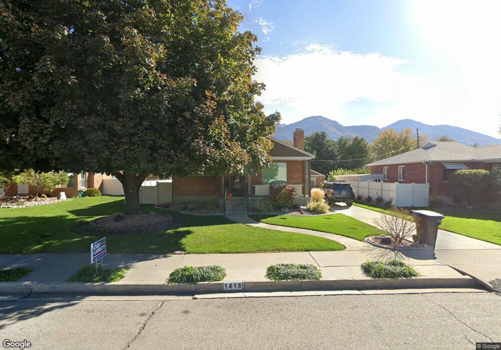
1418 N 380 W Provo, UT 84604
Riverside NeighborhoodEstimated Value: $488,000 - $544,000
4
Beds
2
Baths
1,337
Sq Ft
$392/Sq Ft
Est. Value
About This Home
This home is located at 1418 N 380 W, Provo, UT 84604 and is currently estimated at $523,646, approximately $391 per square foot. 1418 N 380 W is a home located in Utah County with nearby schools including Rock Canyon Elementary School, Centennial Middle School, and Timpview High School.
Ownership History
Date
Name
Owned For
Owner Type
Purchase Details
Closed on
May 30, 2017
Sold by
Martin Cherie T and Tanner Connie Schwartz
Bought by
Martin Cherie T
Current Estimated Value
Home Financials for this Owner
Home Financials are based on the most recent Mortgage that was taken out on this home.
Original Mortgage
$165,000
Interest Rate
4.08%
Mortgage Type
Purchase Money Mortgage
Purchase Details
Closed on
May 25, 2017
Sold by
Martin Cherie T and Tanner Neal A
Bought by
Tanner Neal A and Tanner Cynthia K
Home Financials for this Owner
Home Financials are based on the most recent Mortgage that was taken out on this home.
Original Mortgage
$165,000
Interest Rate
4.08%
Mortgage Type
Purchase Money Mortgage
Create a Home Valuation Report for This Property
The Home Valuation Report is an in-depth analysis detailing your home's value as well as a comparison with similar homes in the area
Home Values in the Area
Average Home Value in this Area
Purchase History
| Date | Buyer | Sale Price | Title Company |
|---|---|---|---|
| Martin Cherie T | -- | Pro Title & Escrow Inc | |
| Martin Cherie T | -- | Pro Title & Escrow Inc | |
| Tanner Neal A | -- | Pro Title And Escrow Inc |
Source: Public Records
Mortgage History
| Date | Status | Borrower | Loan Amount |
|---|---|---|---|
| Closed | Tanner Neal A | $165,000 |
Source: Public Records
Tax History Compared to Growth
Tax History
| Year | Tax Paid | Tax Assessment Tax Assessment Total Assessment is a certain percentage of the fair market value that is determined by local assessors to be the total taxable value of land and additions on the property. | Land | Improvement |
|---|---|---|---|---|
| 2025 | $2,243 | $242,330 | $164,300 | $276,300 |
| 2024 | $2,243 | $220,825 | $0 | $0 |
| 2023 | $2,265 | $219,780 | $0 | $0 |
| 2022 | $2,097 | $205,150 | $0 | $0 |
| 2021 | $1,585 | $270,500 | $104,300 | $166,200 |
| 2020 | $1,528 | $244,500 | $94,800 | $149,700 |
| 2019 | $1,311 | $218,200 | $88,000 | $130,200 |
| 2018 | $1,153 | $194,500 | $81,300 | $113,200 |
| 2017 | $1,057 | $98,010 | $0 | $0 |
| 2016 | $1,100 | $95,040 | $0 | $0 |
| 2015 | $1,067 | $93,170 | $0 | $0 |
| 2014 | $994 | $90,530 | $0 | $0 |
Source: Public Records
Map
Nearby Homes
- 1559 N Riverside Ave Unit 4
- 1533 N Riverside Ave Unit 27
- 1254 N 800 W
- 1661 Willowbrook Dr
- 1149 N 850 W
- 920 W Columbia Ln
- 1633 Woodland Dr
- 556 W 800 N Unit 18
- 1685 Hickory Ln
- 828 N 600 W
- 810 N 600 W
- 1763 Willowbrook Dr Unit 4D1
- 836 N University Ave Unit 111
- 1963 N Canyon Rd Unit 105
- 1250 Jordan Ave
- 690 N 600 W
- 360 Sumac Ln
- 1188 W 1380 N
- 1009 W 2000 N
- 595 N 600 W