1418 W White Rd Free Soil, MI 49411
Estimated Value: $49,000 - $74,000
Studio
--
Bath
--
Sq Ft
6.33
Acres
About This Home
This home is located at 1418 W White Rd, Free Soil, MI 49411 and is currently estimated at $61,500. 1418 W White Rd is a home located in Mason County with nearby schools including Scottville Elementary School, Mason County Central Upper Elementary School, and Mason County Central Middle School.
Ownership History
Date
Name
Owned For
Owner Type
Purchase Details
Closed on
Apr 23, 2021
Sold by
Berndt Dale R and Berndt Stasi L
Bought by
Berndt Dale R and Berndt Stasi L
Current Estimated Value
Home Financials for this Owner
Home Financials are based on the most recent Mortgage that was taken out on this home.
Original Mortgage
$105,000
Outstanding Balance
$77,361
Interest Rate
2.4%
Mortgage Type
New Conventional
Estimated Equity
-$15,861
Purchase Details
Closed on
Apr 7, 2021
Sold by
Bernd Dale R and Berndt Stasi L
Bought by
Berndt Dale R and Berndt Stasi L
Home Financials for this Owner
Home Financials are based on the most recent Mortgage that was taken out on this home.
Original Mortgage
$105,000
Outstanding Balance
$77,361
Interest Rate
2.4%
Mortgage Type
New Conventional
Estimated Equity
-$15,861
Purchase Details
Closed on
Jan 7, 2004
Sold by
Chapman Robert and Chapman Aleta
Bought by
Berndt Dale R and Berndt Stasi L
Create a Home Valuation Report for This Property
The Home Valuation Report is an in-depth analysis detailing your home's value as well as a comparison with similar homes in the area
Purchase History
| Date | Buyer | Sale Price | Title Company |
|---|---|---|---|
| Berndt Dale R | -- | New Title Company Name | |
| Berndt Stasi L | -- | New Title Company Name | |
| Berndt Dale R | -- | None Listed On Document | |
| Berndt Dale R | $5,000 | Lakeshore Land & Title |
Source: Public Records
Mortgage History
| Date | Status | Borrower | Loan Amount |
|---|---|---|---|
| Open | Berndt Dale R | $105,000 |
Source: Public Records
Tax History
| Year | Tax Paid | Tax Assessment Tax Assessment Total Assessment is a certain percentage of the fair market value that is determined by local assessors to be the total taxable value of land and additions on the property. | Land | Improvement |
|---|---|---|---|---|
| 2025 | $296 | $16,500 | $16,500 | $0 |
| 2024 | -- | $15,800 | $15,800 | $0 |
| 2023 | -- | $13,300 | $13,300 | $0 |
Source: Public Records
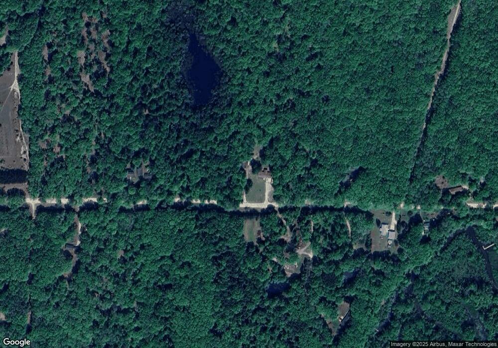
Map
Nearby Homes
- 1299 W White Rd
- 1051 W White Rd
- 161 E Sauble Dr
- 9945 N Us Highway 31
- 10450 N Tuttle Rd
- V/L 118A E Townline Rd
- 0 W Shingle Mill Way Unit 19 25044983
- 1997 E Townline Rd
- 1089 Greensview Dr
- 0 E Freesoil Unit 40 acres 24030243
- 5092 N Victory Corner Rd
- V/L E Free Soil Rd
- 2759 E Michigan St
- 4919 N Victory Corner Rd
- 4646 N Anderson Rd
- 6218 N Loggers Ln
- 3800 Grant Hwy
- 2322 Grant Hwy
- 6308 N Jebavy Dr
- 0 N Cherry Ln Unit 25053077
- 1418 W White Rd
- 0 W White Rd
- 1431 W White Rd
- 1359 W White Rd
- 1419 W White Rd
- 1516 W White Rd
- 1326 W White Rd
- 1339 W White Rd
- 1294 W White Rd
- 1299 W White Rd
- 1363 W White Rd
- 1577 W White Rd
- 1262 W White Rd
- 1575 W White Rd
- 1261 W White Rd
- 1621 W White Rd
- 1240 W White Rd
- 1240 W White Rd
- 1240 W White Rd
- 1605 W White Rd
Your Personal Tour Guide
Ask me questions while you tour the home.