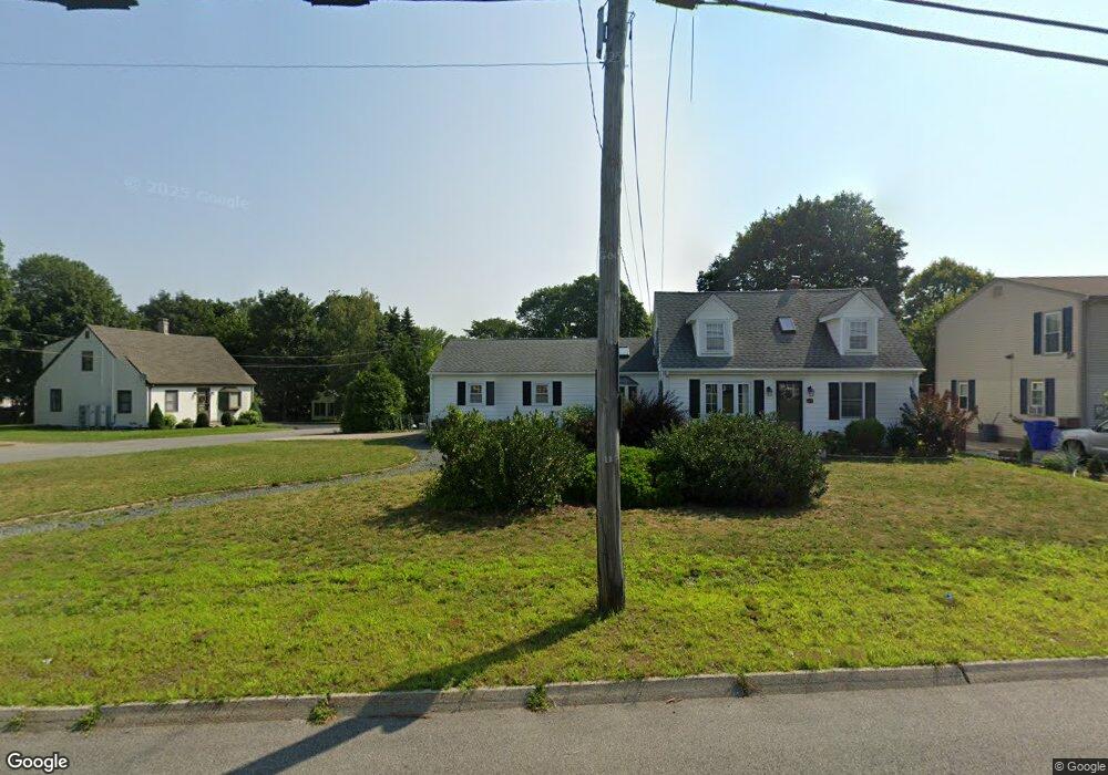
1418 Wampanoag Trail Riverside, RI 02915
Riverside NeighborhoodEstimated Value: $431,379 - $597,000
2
Beds
2
Baths
1,802
Sq Ft
$269/Sq Ft
Est. Value
About This Home
This home is located at 1418 Wampanoag Trail, Riverside, RI 02915 and is currently estimated at $484,845, approximately $269 per square foot. 1418 Wampanoag Trail is a home located in Providence County with nearby schools including East Providence High School, Barrington Christian Academy, and St. Andrews School.
Ownership History
Date
Name
Owned For
Owner Type
Purchase Details
Closed on
May 19, 2021
Sold by
Dale R Madonna T
Bought by
Dale R Madonna T
Current Estimated Value
Purchase Details
Closed on
Mar 11, 1994
Sold by
Weiler Margaret E
Bought by
Madonna Dale R and Serle Olivia F
Create a Home Valuation Report for This Property
The Home Valuation Report is an in-depth analysis detailing your home's value as well as a comparison with similar homes in the area
Home Values in the Area
Average Home Value in this Area
Purchase History
| Date | Buyer | Sale Price | Title Company |
|---|---|---|---|
| Dale R Madonna T | -- | None Available | |
| Madonna Dale R | $117,000 | -- |
Source: Public Records
Mortgage History
| Date | Status | Borrower | Loan Amount |
|---|---|---|---|
| Previous Owner | Madonna Dale R | $85,000 | |
| Previous Owner | Madonna Dale R | $100,000 | |
| Previous Owner | Madonna Dale R | $27,000 |
Source: Public Records
Tax History Compared to Growth
Tax History
| Year | Tax Paid | Tax Assessment Tax Assessment Total Assessment is a certain percentage of the fair market value that is determined by local assessors to be the total taxable value of land and additions on the property. | Land | Improvement |
|---|---|---|---|---|
| 2025 | $5,139 | $393,200 | $109,500 | $283,700 |
| 2024 | $4,978 | $324,700 | $91,200 | $233,500 |
| 2023 | $4,793 | $324,700 | $91,200 | $233,500 |
| 2022 | $4,803 | $219,700 | $64,100 | $155,600 |
| 2021 | $4,724 | $219,700 | $64,100 | $155,600 |
| 2020 | $4,524 | $219,700 | $64,100 | $155,600 |
| 2019 | $4,398 | $219,700 | $64,100 | $155,600 |
| 2018 | $4,459 | $194,900 | $59,700 | $135,200 |
| 2017 | $4,360 | $194,900 | $59,700 | $135,200 |
| 2016 | $4,338 | $194,900 | $59,700 | $135,200 |
| 2015 | $4,354 | $189,700 | $61,400 | $128,300 |
| 2014 | $4,354 | $189,700 | $61,400 | $128,300 |
Source: Public Records
Map
Nearby Homes
- 1426 Wampanoag Trail
- 1422 Wampanoag Trail
- 5 Will Ann Cir
- 1414 Wampanoag Trail
- 2 Willann Cir
- 2 Will Ann Cir
- 2 Will Ann Cir
- 6 Jill Ct
- 1290 Wampanoag Trail
- 8 Will Ann Cir
- 1 Mohawk Dr
- 1430 Wampanoag Trail
- 7 Mohawk Dr
- 10 Jill Ct
- 1434 Wampanoag Trail
- 14 Jill Ct
- 1375 Wampanoag Trail
- 11 Jill Ct
- 6 Mohawk Dr
- 10 Mohawk Dr