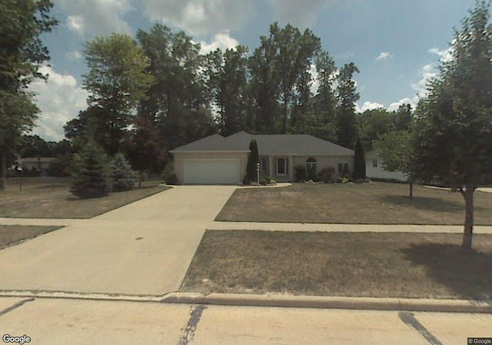
14187 Newton Rd Middleburg Heights, OH 44130
Estimated Value: $347,000 - $428,000
3
Beds
3
Baths
2,088
Sq Ft
$186/Sq Ft
Est. Value
About This Home
This home is located at 14187 Newton Rd, Middleburg Heights, OH 44130 and is currently estimated at $387,451, approximately $185 per square foot. 14187 Newton Rd is a home located in Cuyahoga County with nearby schools including Big Creek Elementary School, Berea-Midpark Middle School, and Berea-Midpark High School.
Ownership History
Date
Name
Owned For
Owner Type
Purchase Details
Closed on
May 28, 2013
Sold by
Cole Barry F and Cole Judith A
Bought by
Cole Barry Fl and Cole Judith A
Current Estimated Value
Purchase Details
Closed on
Nov 7, 2005
Sold by
Toca Nicholas J and Toca Anna L
Bought by
Cole Barry F and Cole Judith A
Home Financials for this Owner
Home Financials are based on the most recent Mortgage that was taken out on this home.
Original Mortgage
$232,000
Outstanding Balance
$119,879
Interest Rate
5.12%
Mortgage Type
Purchase Money Mortgage
Estimated Equity
$267,572
Purchase Details
Closed on
Feb 17, 1994
Sold by
Cristino Alessandro
Bought by
Zinicola Domenico
Purchase Details
Closed on
Jan 1, 1992
Bought by
Cristino Alessandro
Create a Home Valuation Report for This Property
The Home Valuation Report is an in-depth analysis detailing your home's value as well as a comparison with similar homes in the area
Home Values in the Area
Average Home Value in this Area
Purchase History
| Date | Buyer | Sale Price | Title Company |
|---|---|---|---|
| Cole Barry Fl | -- | Attorney | |
| Cole Barry F | $290,000 | Chicago Title Insurance C | |
| Zinicola Domenico | $20,000 | -- | |
| Cristino Alessandro | -- | -- |
Source: Public Records
Mortgage History
| Date | Status | Borrower | Loan Amount |
|---|---|---|---|
| Open | Cole Barry F | $232,000 |
Source: Public Records
Tax History Compared to Growth
Tax History
| Year | Tax Paid | Tax Assessment Tax Assessment Total Assessment is a certain percentage of the fair market value that is determined by local assessors to be the total taxable value of land and additions on the property. | Land | Improvement |
|---|---|---|---|---|
| 2024 | $6,256 | $119,840 | $23,380 | $96,460 |
| 2023 | $5,545 | $87,570 | $16,240 | $71,330 |
| 2022 | $5,508 | $87,570 | $16,240 | $71,330 |
| 2021 | $5,477 | $87,570 | $16,240 | $71,330 |
| 2020 | $5,700 | $80,360 | $14,910 | $65,450 |
| 2019 | $5,536 | $229,600 | $42,600 | $187,000 |
| 2018 | $5,234 | $80,360 | $14,910 | $65,450 |
| 2017 | $5,350 | $71,930 | $13,720 | $58,210 |
| 2016 | $5,307 | $71,930 | $13,720 | $58,210 |
| 2015 | -- | $71,930 | $13,720 | $58,210 |
| 2014 | -- | $71,930 | $13,720 | $58,210 |
Source: Public Records
Map
Nearby Homes
- 6566 Elmdale Rd
- 13689 Pineview Ct
- 6359 Middlebrook Blvd
- 13879 Zaremba Dr
- 6771 Wood Creek Dr
- 13931 Franklyn Blvd
- 6749 Middlebrook Blvd
- 13971 Park Dr
- 6212 Elmdale Rd
- 6491 Smith Rd
- 6943 N Parkway Dr Unit H6943
- 6330 Michael Dr
- 15446 Sheldon Rd
- 6333 W 130th St
- 6321 W 130th St
- 6363 Lockhaven Dr
- 14055 Donald Dr
- 6470 Sandfield Dr
- 6736 Rockridge Ct
- 13602 Holland Rd
- 14197 Newton Rd
- 14223 Newton Rd
- 6507 Lares Ln
- 14180 Newton Rd
- 6515 Lares Ln
- 14200 Newton Rd
- 14247 Newton Rd
- 14120 Newton Rd
- 14220 Newton Rd
- 6508 Elmdale Rd
- 14240 Newton Rd
- 6502 Elmdale Rd
- 14100 Newton Rd
- 6485 Beachdell Dr
- 6496 Elmdale Rd
- 6514 Elmdale Rd
- 6480 Beachdell Dr
- 6490 Elmdale Rd
- 6595 Logan Dr
- 6524 Elmdale Rd