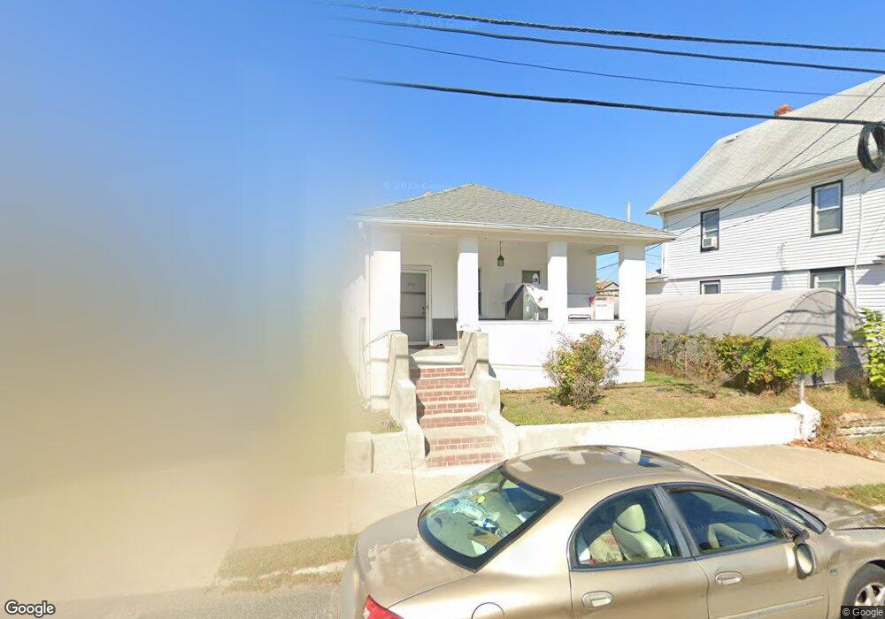
1419 10th Ave Neptune, NJ 07753
Estimated Value: $358,000 - $426,000
2
Beds
1
Bath
828
Sq Ft
$474/Sq Ft
Est. Value
About This Home
This home is located at 1419 10th Ave, Neptune, NJ 07753 and is currently estimated at $392,358, approximately $473 per square foot. 1419 10th Ave is a home located in Monmouth County with nearby schools including Neptune High School.
Ownership History
Date
Name
Owned For
Owner Type
Purchase Details
Closed on
May 23, 2012
Sold by
Moharam Mohamed
Bought by
Moharam Ibrahim
Current Estimated Value
Purchase Details
Closed on
Sep 12, 2002
Sold by
Mohamed Elsayed
Bought by
Moharam Ibrahim and Moharam Mohamed
Home Financials for this Owner
Home Financials are based on the most recent Mortgage that was taken out on this home.
Original Mortgage
$76,784
Interest Rate
6.09%
Mortgage Type
FHA
Purchase Details
Closed on
Oct 29, 2000
Sold by
Ocwen Federal Bank Fsb
Bought by
Mohamed Elsayed
Purchase Details
Closed on
Jan 27, 1995
Sold by
Ford Consumer Fin Co
Bought by
Yousseff Sam
Home Financials for this Owner
Home Financials are based on the most recent Mortgage that was taken out on this home.
Original Mortgage
$53,000
Interest Rate
9.13%
Create a Home Valuation Report for This Property
The Home Valuation Report is an in-depth analysis detailing your home's value as well as a comparison with similar homes in the area
Home Values in the Area
Average Home Value in this Area
Purchase History
| Date | Buyer | Sale Price | Title Company |
|---|---|---|---|
| Moharam Ibrahim | -- | None Available | |
| Moharam Ibrahim | $89,000 | -- | |
| Mohamed Elsayed | $42,500 | -- | |
| Yousseff Sam | $56,000 | -- |
Source: Public Records
Mortgage History
| Date | Status | Borrower | Loan Amount |
|---|---|---|---|
| Previous Owner | Moharam Ibrahim | $76,784 | |
| Previous Owner | Yousseff Sam | $53,000 |
Source: Public Records
Tax History Compared to Growth
Tax History
| Year | Tax Paid | Tax Assessment Tax Assessment Total Assessment is a certain percentage of the fair market value that is determined by local assessors to be the total taxable value of land and additions on the property. | Land | Improvement |
|---|---|---|---|---|
| 2025 | $5,934 | $377,200 | $234,900 | $142,300 |
| 2024 | $4,746 | $338,900 | $221,900 | $117,000 |
| 2023 | $4,746 | $262,800 | $170,600 | $92,200 |
| 2022 | $4,065 | $227,500 | $138,000 | $89,500 |
| 2021 | $4,065 | $192,400 | $123,600 | $68,800 |
| 2020 | $3,804 | $179,600 | $114,400 | $65,200 |
| 2019 | $3,372 | $157,200 | $96,000 | $61,200 |
| 2018 | $3,314 | $152,700 | $92,000 | $60,700 |
| 2017 | $3,608 | $159,700 | $98,000 | $61,700 |
| 2016 | $4,238 | $187,100 | $98,000 | $89,100 |
| 2015 | $4,120 | $185,000 | $98,000 | $87,000 |
| 2014 | $2,544 | $93,900 | $38,000 | $55,900 |
Source: Public Records
Map
Nearby Homes
- 55 N Route 35 Unit 12A
- 1409 7th Ave
- 1317 7th Ave
- 1329 6th Ave
- 45 Ridge Ave
- 503 Ridge Ave
- 1501 Cherry Ln
- 152 Division St
- 1608 Heck Ave
- 200 Drummond Ave
- 142 1/2 5th Ave Unit Residence 205
- 142 1/2 5th Ave Unit Residence 207
- 142 1/2 5th Ave Unit Residence 108
- 142 1/2 5th Ave Unit Residence 402
- 142 1/2 5th Ave Unit Residence 206
- 1509 Embury Ave
- 601/603 Route 35
- 1221 11th Ave
- 3 5th Ave Unit Residence 209
- 3 5th Ave Unit Residence 406
- 1421 10th Ave
- 1417 10th Ave
- 9 Lafeyette Ave
- 8 Union Ave
- 6 Union Ave
- 4 Union Ave
- 1413 10th Ave
- 2 Union Ave Unit AVE 1/2
- 2 Union Ave
- 2 Union Ave Unit 1
- 206 Union Ave
- 1420 10th Ave
- 1418 10th Ave
- 1418 State Route 33
- 1416 Corlies Ave
- 1411 10th Ave
- 1416 State Route 33
- 1414 State Route 33
- 1416 10th Ave
- 1418 Corlies Ave