1419 Bombing Range Rd Gilbert, SC 29054
Estimated Value: $1,604,000 - $2,155,000
5
Beds
5
Baths
5,425
Sq Ft
$343/Sq Ft
Est. Value
About This Home
This home is located at 1419 Bombing Range Rd, Gilbert, SC 29054 and is currently estimated at $1,862,886, approximately $343 per square foot. 1419 Bombing Range Rd is a home located in Lexington County with nearby schools including Centerville Elementary School, Gilbert Primary School, and Gilbert Middle School.
Ownership History
Date
Name
Owned For
Owner Type
Purchase Details
Closed on
Oct 23, 2024
Sold by
Ogbori Godswill
Bought by
Godswill Ogbori Revocable Living Trust and Ogbori
Current Estimated Value
Home Financials for this Owner
Home Financials are based on the most recent Mortgage that was taken out on this home.
Original Mortgage
$766,550
Interest Rate
6.78%
Mortgage Type
New Conventional
Purchase Details
Closed on
Sep 6, 2024
Sold by
Scottaline Joseph S
Bought by
Godswill Ogbori
Home Financials for this Owner
Home Financials are based on the most recent Mortgage that was taken out on this home.
Original Mortgage
$766,550
Interest Rate
6.78%
Mortgage Type
New Conventional
Purchase Details
Closed on
Nov 23, 2021
Sold by
Sutton Edward C and Sutton Kimberleah R
Bought by
Scottaline Joseph S
Purchase Details
Closed on
May 22, 1998
Sold by
Haas Robert C
Bought by
Sutton Edward C
Create a Home Valuation Report for This Property
The Home Valuation Report is an in-depth analysis detailing your home's value as well as a comparison with similar homes in the area
Home Values in the Area
Average Home Value in this Area
Purchase History
| Date | Buyer | Sale Price | Title Company |
|---|---|---|---|
| Godswill Ogbori Revocable Living Trust | -- | None Listed On Document | |
| Godswill Ogbori | $1,750,000 | None Listed On Document | |
| Scottaline Joseph S | $1,100,000 | None Available | |
| Sutton Edward C | $200,000 | -- |
Source: Public Records
Mortgage History
| Date | Status | Borrower | Loan Amount |
|---|---|---|---|
| Previous Owner | Godswill Ogbori | $766,550 |
Source: Public Records
Tax History Compared to Growth
Tax History
| Year | Tax Paid | Tax Assessment Tax Assessment Total Assessment is a certain percentage of the fair market value that is determined by local assessors to be the total taxable value of land and additions on the property. | Land | Improvement |
|---|---|---|---|---|
| 2024 | $48,760 | $44,000 | $13,288 | $30,712 |
| 2023 | $6,147 | $44,000 | $13,288 | $30,712 |
| 2022 | $6,551 | $44,000 | $13,288 | $30,712 |
| 2020 | $5,248 | $33,954 | $13,288 | $20,666 |
| 2019 | $4,516 | $31,753 | $11,040 | $20,713 |
| 2018 | $4,435 | $31,753 | $11,040 | $20,713 |
| 2017 | $4,294 | $31,753 | $11,040 | $20,713 |
| 2016 | $4,264 | $31,753 | $11,040 | $20,713 |
| 2014 | $4,537 | $35,048 | $13,260 | $21,788 |
| 2013 | -- | $35,050 | $13,260 | $21,790 |
Source: Public Records
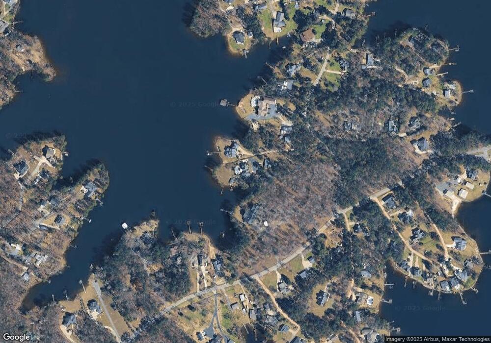
Map
Nearby Homes
- 1457 Bombing Range Rd
- 1233 Shull Island Rd
- 1633 Barracks Dr
- 1223 Shull Island Rd
- 1459 Bombing Range Rd
- 1464 Bombing Range Rd
- 1148 Shull Island Rd
- 113 Shull Fork Ct
- 1305 Rock Island Rd
- 870 Shore Rd
- 0 Misty Cir Unit 566318
- 153 Pintail Lake Dr
- 148 Pintail Lake Dr
- 1628 Deep Cove Ln
- 1620 Deep Cove Ln
- 2110 Shull Ave
- 232 Waters Edge Dr
- 255 Pintail Lake Dr
- 576 Sandy Point Rd
- 110 Wood Duck Dr
- 1411 Bombing Range Rd
- 1421 Bombing Range Rd
- 3 Bombing Range Rd
- 1307 Shull Island Rd
- 1431 Bombing Range Rd
- 1433 Bombing Range Rd
- 1269 Shull Island Rd
- 1263 Shull Island Rd
- 1259 Shull Island Rd
- 1636 Barracks Dr
- 1306 Shull Island Rd
- 1375 Garden Grove Cir
- 1305 Garden Grove Cir
- 1445 Bombing Range Rd
- 1374 Garden Grove Cir
- 1245 Shull Island Rd
- 1254 Shull Island Rd
- 1627 Bombing Range Ct
- 1680 Barracks Dr
- 1260 Shull Island Rd