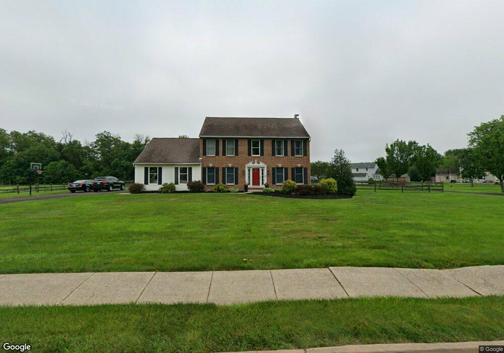
1419 Derstine Rd Hatfield, PA 19440
Estimated Value: $563,000 - $670,000
4
Beds
3
Baths
2,204
Sq Ft
$279/Sq Ft
Est. Value
About This Home
This home is located at 1419 Derstine Rd, Hatfield, PA 19440 and is currently estimated at $615,273, approximately $279 per square foot. 1419 Derstine Rd is a home located in Montgomery County with nearby schools including Hatfield Elementary School, Pennfield Middle School, and North Penn Senior High School.
Ownership History
Date
Name
Owned For
Owner Type
Purchase Details
Closed on
Oct 21, 2005
Sold by
Klumpp Richard K and Klumpp Janene A
Bought by
Knauer Scott A and Knauer Kristine M
Current Estimated Value
Home Financials for this Owner
Home Financials are based on the most recent Mortgage that was taken out on this home.
Original Mortgage
$39,996
Outstanding Balance
$21,659
Interest Rate
5.85%
Estimated Equity
$593,614
Purchase Details
Closed on
Aug 30, 2001
Sold by
Neuschwander David S and Neuschwander Eileen V
Bought by
Klumpp Richard K and Klumpp Janene A
Create a Home Valuation Report for This Property
The Home Valuation Report is an in-depth analysis detailing your home's value as well as a comparison with similar homes in the area
Home Values in the Area
Average Home Value in this Area
Purchase History
| Date | Buyer | Sale Price | Title Company |
|---|---|---|---|
| Knauer Scott A | $400,000 | -- | |
| Klumpp Richard K | $234,000 | -- |
Source: Public Records
Mortgage History
| Date | Status | Borrower | Loan Amount |
|---|---|---|---|
| Open | Knauer Scott A | $39,996 | |
| Open | Knauer Scott A | $320,000 |
Source: Public Records
Tax History
| Year | Tax Paid | Tax Assessment Tax Assessment Total Assessment is a certain percentage of the fair market value that is determined by local assessors to be the total taxable value of land and additions on the property. | Land | Improvement |
|---|---|---|---|---|
| 2025 | $7,061 | $176,370 | $47,570 | $128,800 |
| 2024 | $7,061 | $176,370 | $47,570 | $128,800 |
| 2023 | $6,758 | $176,370 | $47,570 | $128,800 |
| 2022 | $6,538 | $176,370 | $47,570 | $128,800 |
| 2021 | $6,352 | $176,370 | $47,570 | $128,800 |
| 2020 | $6,202 | $176,370 | $47,570 | $128,800 |
| 2019 | $6,099 | $176,370 | $47,570 | $128,800 |
Source: Public Records
Map
Nearby Homes
- 1520 Fairgrounds Rd
- 14 Holiday Ave
- 2801 Denbeigh Dr
- 700 Alexander Dr
- 2848 Grant Ave
- 2807 Truman Dr
- 2810 Truman Dr
- 708 Finlay Dr
- 105 S Main St
- 36 N Maple Ave
- 369 Wheatfield Cir
- 113 Hickory Dr
- 109 Hickory Dr
- 635 Elroy Rd
- 2331 Cambridge Cir
- 1095 Owen Ln
- 103 Allentown Rd
- 113 E Vine St
- 1165 Mason Rd
- 216 W Cherry Ln Unit MAGNOLIA
- 1429 Derstine Rd
- 1580 Bergey Rd
- 1560 Bergey Rd
- 1600 Bergey Rd
- 1540 Bergey Rd
- 1407 Derstine Rd
- 1620 Bergey Rd
- 1640 Bergey Rd
- 1581 Bergey Rd
- 1561 Bergey Rd
- 1601 Bergey Rd
- 1660 Bergey Rd
- 1621 Bergey Rd
- 1426 Derstine Rd
- 1310 Grayson Dr
- 1660 Derstine Rd
- 2969 Denbeigh Dr
- 1641 Bergey Rd
- 1308 Grayson Dr
- 1680 Bergey Rd
Your Personal Tour Guide
Ask me questions while you tour the home.