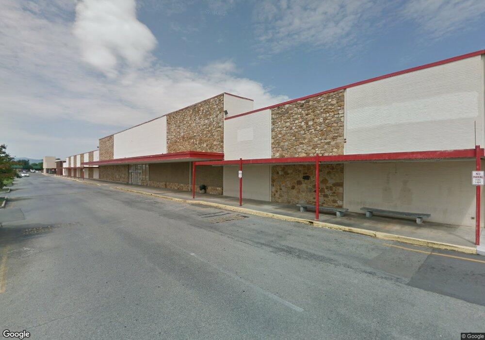
1419 Hershberger Rd NW Roanoke, VA 24012
Estimated Value: $32,295,354
--
Bed
--
Bath
112,165
Sq Ft
$288/Sq Ft
Est. Value
About This Home
This home is located at 1419 Hershberger Rd NW, Roanoke, VA 24012 and is currently estimated at $32,295,354, approximately $287 per square foot. 1419 Hershberger Rd NW is a home located in Roanoke City with nearby schools including Round Hill Elementary School, Breckinridge Middle School, and William Fleming High School.
Ownership History
Date
Name
Owned For
Owner Type
Purchase Details
Closed on
Nov 24, 2020
Sold by
Crossroads Sft Llc
Bought by
Cim Bj Roanoke Va Llc
Current Estimated Value
Purchase Details
Closed on
Jun 4, 2018
Sold by
Fairway Roanoke Llc
Bought by
Crossroads Retail Llc
Home Financials for this Owner
Home Financials are based on the most recent Mortgage that was taken out on this home.
Original Mortgage
$14,693,330
Interest Rate
4.5%
Mortgage Type
Credit Line Revolving
Purchase Details
Closed on
Oct 5, 2009
Sold by
Martin Hopkins & Lemon Pc
Bought by
Fairway Roanoke Llc
Create a Home Valuation Report for This Property
The Home Valuation Report is an in-depth analysis detailing your home's value as well as a comparison with similar homes in the area
Home Values in the Area
Average Home Value in this Area
Purchase History
| Date | Buyer | Sale Price | Title Company |
|---|---|---|---|
| Cim Bj Roanoke Va Llc | $20,841,231 | First American Title | |
| Crossroads Sft Llc | -- | First American Title | |
| Crossroads Retail Llc | -- | Madison Title Agency Llc | |
| Fairway Roanoke Llc | -- | None Available |
Source: Public Records
Mortgage History
| Date | Status | Borrower | Loan Amount |
|---|---|---|---|
| Previous Owner | Crossroads Retail Llc | $14,693,330 |
Source: Public Records
Tax History Compared to Growth
Tax History
| Year | Tax Paid | Tax Assessment Tax Assessment Total Assessment is a certain percentage of the fair market value that is determined by local assessors to be the total taxable value of land and additions on the property. | Land | Improvement |
|---|---|---|---|---|
| 2025 | $149,994 | $10,010,700 | $2,300,900 | $7,709,800 |
| 2024 | $149,994 | $10,010,700 | $2,300,900 | $7,709,800 |
| 2023 | $122,131 | $10,010,700 | $2,300,900 | $7,709,800 |
| 2022 | $146,052 | $10,010,700 | $2,300,900 | $7,709,800 |
| 2021 | $134,813 | $9,309,800 | $2,300,900 | $7,008,900 |
| 2020 | $167,254 | $12,627,600 | $3,307,600 | $9,320,000 |
| 2019 | $167,254 | $12,627,600 | $3,307,600 | $9,320,000 |
| 2018 | $75,685 | $5,191,000 | $3,307,600 | $1,883,400 |
| 2017 | $89,370 | $6,312,700 | $3,307,600 | $3,005,100 |
| 2016 | $89,370 | $6,312,700 | $3,307,600 | $3,005,100 |
| 2015 | $65,446 | $5,499,700 | $3,261,800 | $2,237,900 |
| 2014 | $65,446 | $5,499,700 | $3,261,800 | $2,237,900 |
Source: Public Records
Map
Nearby Homes
- 2628 Durham St NW
- 1017 Curtis Ave NW
- 4708 Pawling St NW
- 2637 Cornell Dr NW
- 2508 Churchill Dr NW
- 3038 Maplelawn Ave NW
- 2438 Churchill Dr NW
- 4935 Hubert Rd NW
- 717 Hershberger Rd NW
- 5333 Thornrose Rd
- 4916 Hildebrand Rd NW
- 5001 Hildebrand Rd NW
- 4306 Williamson Rd NW
- 4935 Fralin Rd NW
- 3219 Yardley Dr NW
- 3332 Maplelawn Ave NW
- 5608 Malvern Rd
- 5755 Santa Anita Terrace
- 4009 Richland Ave NW
- 2518 Ravenwood Ave NW
- 5002 Airport Rd NW
- 5008 Airport Rd NW
- 1401 Hershberger Rd NW
- 1423 Hershberger Rd NW
- 1420 Towne Square Blvd NW
- 1335 Hershberger Rd NW
- 1366 Towne Square Blvd NW
- 1535 Hershberger Rd NW
- 1430 Hershberger Rd NW
- 1418 Hershberger Rd NW
- 1609 Hershberger Rd NW
- 1512 Hershberger Rd NW
- 4860 Eden Dr NW
- 1309 Hershberger Rd NW
- 1518 Hershberger Rd NW
- 4851 Eden Dr NW
- 1611 Hershberger Rd NW
- 4856 Eden Dr NW
- 1406 Hershberger Rd NW
- 1536 Hershberger Rd NW