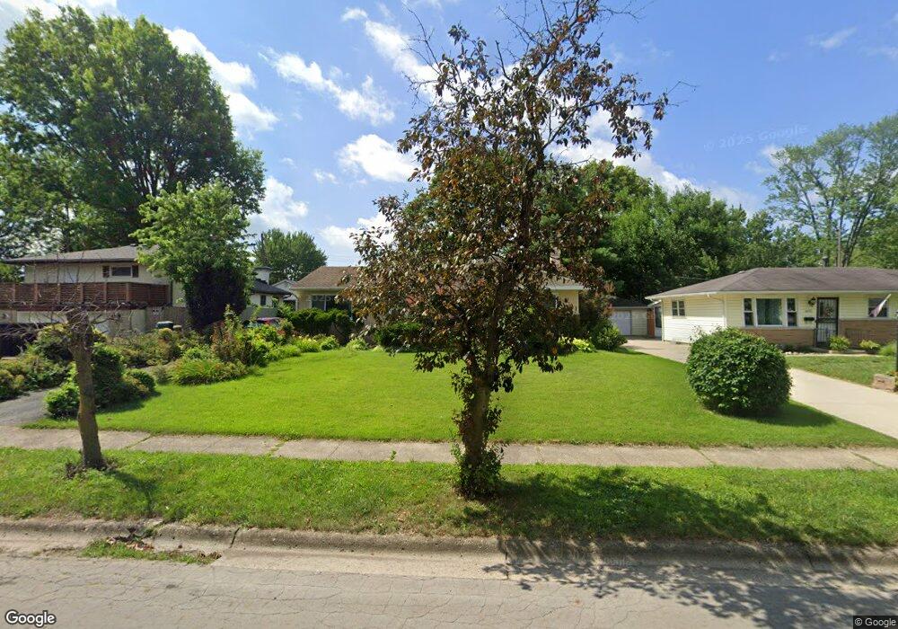
1419 Pershing Dr Columbus, OH 43224
Clinton Estates NeighborhoodEstimated Value: $221,000 - $257,000
3
Beds
1
Bath
1,108
Sq Ft
$211/Sq Ft
Est. Value
About This Home
This home is located at 1419 Pershing Dr, Columbus, OH 43224 and is currently estimated at $233,916, approximately $211 per square foot. 1419 Pershing Dr is a home located in Franklin County with nearby schools including Maize Road Elementary School, Medina Middle School, and Mifflin High School.
Ownership History
Date
Name
Owned For
Owner Type
Purchase Details
Closed on
Jul 30, 2024
Sold by
Hartshorn Deborah Dean
Bought by
Hartshorn Family Trust and Hartshorn
Current Estimated Value
Purchase Details
Closed on
Apr 18, 2011
Sold by
Hartshorn Properties Limited Partnership
Bought by
Hartshorn Deborah Dean
Purchase Details
Closed on
Nov 8, 2002
Sold by
Hartshorn Deborah Dean
Bought by
Hartshorn Properties Ltd Partnership
Home Financials for this Owner
Home Financials are based on the most recent Mortgage that was taken out on this home.
Original Mortgage
$91,000
Interest Rate
6.08%
Purchase Details
Closed on
Apr 16, 1999
Sold by
Ruth Mary J and Greecher Mary J
Bought by
Hartshorn Deborah D
Home Financials for this Owner
Home Financials are based on the most recent Mortgage that was taken out on this home.
Original Mortgage
$82,550
Interest Rate
7.1%
Purchase Details
Closed on
Sep 17, 1965
Bought by
Ruth Mary J
Create a Home Valuation Report for This Property
The Home Valuation Report is an in-depth analysis detailing your home's value as well as a comparison with similar homes in the area
Home Values in the Area
Average Home Value in this Area
Purchase History
| Date | Buyer | Sale Price | Title Company |
|---|---|---|---|
| Hartshorn Family Trust | -- | None Listed On Document | |
| Hartshorn Deborah Dean | -- | None Available | |
| Hartshorn Properties Ltd Partnership | -- | Landsel Title Agency Inc | |
| Hartshorn Deborah Dean | -- | Landsel Title Agency Inc | |
| Hartshorn Deborah D | $86,900 | Esquire Title | |
| Ruth Mary J | -- | -- |
Source: Public Records
Mortgage History
| Date | Status | Borrower | Loan Amount |
|---|---|---|---|
| Previous Owner | Hartshorn Deborah Dean | $91,000 | |
| Previous Owner | Hartshorn Deborah D | $82,550 |
Source: Public Records
Tax History
| Year | Tax Paid | Tax Assessment Tax Assessment Total Assessment is a certain percentage of the fair market value that is determined by local assessors to be the total taxable value of land and additions on the property. | Land | Improvement |
|---|---|---|---|---|
| 2025 | $3,202 | $69,860 | $19,670 | $50,190 |
| 2024 | $3,202 | $69,860 | $19,670 | $50,190 |
| 2023 | $3,095 | $69,860 | $19,670 | $50,190 |
| 2022 | $2,101 | $40,500 | $8,540 | $31,960 |
| 2021 | $2,104 | $40,500 | $8,540 | $31,960 |
| 2020 | $2,107 | $40,500 | $8,540 | $31,960 |
| 2019 | $1,947 | $32,100 | $6,830 | $25,270 |
| 2018 | $1,963 | $32,100 | $6,830 | $25,270 |
| 2017 | $1,946 | $32,100 | $6,830 | $25,270 |
| 2016 | $2,184 | $32,970 | $6,650 | $26,320 |
| 2015 | $1,983 | $32,970 | $6,650 | $26,320 |
| 2014 | $1,987 | $32,970 | $6,650 | $26,320 |
| 2013 | $1,032 | $34,720 | $7,000 | $27,720 |
Source: Public Records
Map
Nearby Homes
- 1310 Fowler Dr
- 4143 Karl Rd Unit 314
- 4145 Karl Rd Unit 223
- 1144 Reed Circle Dr
- 4800 Bourke Rd
- 4795 Colonel Perry Dr
- 1130 Carbone Dr
- 1116 Tulsa Dr
- 4904 Almont Dr
- 4923 Karl Rd Unit 4925
- 1485 Norma Rd
- 3967 Karl Rd Unit 224
- 3941 Karl Rd Unit 326
- 4983 Almont Dr
- 3939 Karl Rd Unit 311
- 5004 Julie Place
- 1637 Sale Rd
- 4857 Tamarack Blvd
- 1734 Ferris Rd
- 899 Meadowview Dr
- 1411 Pershing Dr
- 4505 Densmore Rd
- 4495 Densmore Rd
- 4512 Danforth Rd
- 4494 Danforth Rd
- 4487 Densmore Rd
- 4486 Danforth Rd
- 1426 Pershing Dr
- 1418 Pershing Dr
- 4504 Densmore Rd
- 1434 Pershing Dr
- 1410 Pershing Dr
- 4480 Danforth Rd
- 4479 Densmore Rd
- 1442 Pershing Dr
- 4488 Densmore Rd
- 1402 Pershing Dr
- 1453 Pershing Dr
- 4511 Danforth Rd
- 4472 Danforth Rd
Your Personal Tour Guide
Ask me questions while you tour the home.