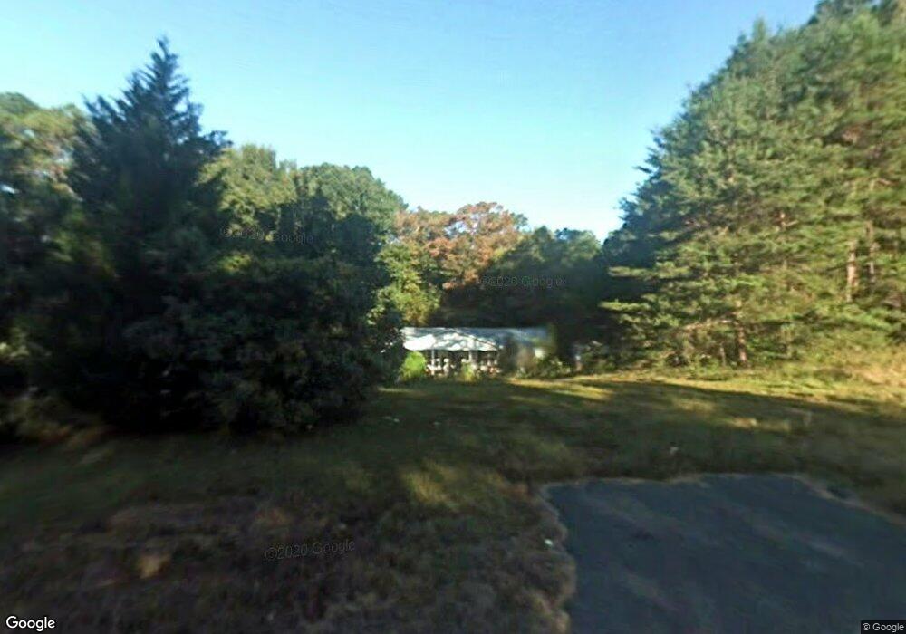
1419 Price Rd Dawsonville, GA 30534
Dawson County NeighborhoodEstimated Value: $354,000 - $398,000
2
Beds
1
Bath
1,854
Sq Ft
$204/Sq Ft
Est. Value
About This Home
This home is located at 1419 Price Rd, Dawsonville, GA 30534 and is currently estimated at $378,732, approximately $204 per square foot. 1419 Price Rd is a home located in Dawson County with nearby schools including Kilough Elementary School, Dawson County Middle School, and Dawson County Junior High School.
Ownership History
Date
Name
Owned For
Owner Type
Purchase Details
Closed on
Apr 1, 2024
Sold by
Bridges Rhonda Burma
Bought by
Rhonda Burma Tracy Bridges Revocable Living T and Bridges
Current Estimated Value
Purchase Details
Closed on
Oct 8, 2004
Sold by
Banta Rhonda B
Bought by
Bridges Rhonda B
Purchase Details
Closed on
Jan 21, 1981
Sold by
Banta Randy and Banta Rhonda
Bought by
Banta Rhonda B
Purchase Details
Closed on
Aug 27, 1977
Bought by
Banta Randy and Banta Rhonda
Create a Home Valuation Report for This Property
The Home Valuation Report is an in-depth analysis detailing your home's value as well as a comparison with similar homes in the area
Home Values in the Area
Average Home Value in this Area
Purchase History
| Date | Buyer | Sale Price | Title Company |
|---|---|---|---|
| Rhonda Burma Tracy Bridges Revocable Living T | -- | None Listed On Document | |
| Bridges Rhonda B | -- | -- | |
| Banta Rhonda B | -- | -- | |
| Banta Randy | $17,500 | -- |
Source: Public Records
Tax History Compared to Growth
Tax History
| Year | Tax Paid | Tax Assessment Tax Assessment Total Assessment is a certain percentage of the fair market value that is determined by local assessors to be the total taxable value of land and additions on the property. | Land | Improvement |
|---|---|---|---|---|
| 2024 | $237 | $123,040 | $13,920 | $109,120 |
| 2023 | $273 | $120,120 | $10,440 | $109,680 |
| 2022 | $100 | $87,640 | $8,120 | $79,520 |
| 2021 | $1,804 | $76,240 | $8,120 | $68,120 |
| 2020 | $1,545 | $74,840 | $9,000 | $65,840 |
| 2019 | $1,545 | $66,720 | $9,000 | $57,720 |
| 2018 | $1,548 | $66,720 | $9,000 | $57,720 |
| 2017 | $1,337 | $57,917 | $10,000 | $47,917 |
| 2016 | $1,237 | $53,705 | $10,000 | $43,705 |
| 2015 | $1,263 | $53,172 | $10,000 | $43,172 |
| 2014 | $1,214 | $49,623 | $10,000 | $39,623 |
| 2013 | -- | $42,298 | $8,000 | $34,298 |
Source: Public Records
Map
Nearby Homes
- 56 Knollwood Ct
- 10 Knollwood Ct
- 145 Dogwood Way
- 75 Stoneridge Ct
- 1619 Price Rd
- 824 Night Fire Dr
- 803 Night Fire Dr
- 771 Night Fire Dr
- 9 Fieldstone Ct E
- 88 Toto Creek Dr W
- 57 Toto Dr
- 648 Dogwood Way
- Hampstead Plan at Creekside
- Pearson Plan at Creekside
- Savoy Plan at Creekside
- 147 Blue Heron Bluff
- 503 Night Fire Dr
- 37 Ridgetop Ct
- 89 Silver Fox Dr
- 94 Dawson Dr
- 227 Stoneridge Ct
- 211 Stoneridge Ct
- 1438 Price Rd
- 195 Stoneridge Ct
- 1400 Price Rd
- 41 Dogwood Way
- 1466 Price Rd
- 179 Stoneridge Ct
- 1538 Price Rd
- 212 Stoneridge Ct
- 247 Stone Ridge Ct
- 25 Dogwood Way
- 172 Stoneridge Ct
- 234 Stoneridge Ct
- 165 Stoneridge Ct
- 73 Dogwood Way
- 1378 Price Rd
- 1398 Price Rd
- 41 Knollwood Ct
- 151 Stoneridge Ct