14191 Frontier Rd Camden, MI 49232
Estimated Value: $250,000 - $384,247
3
Beds
2
Baths
2,344
Sq Ft
$132/Sq Ft
Est. Value
About This Home
This home is located at 14191 Frontier Rd, Camden, MI 49232 and is currently estimated at $308,749, approximately $131 per square foot. 14191 Frontier Rd is a home located in Hillsdale County with nearby schools including Camden-Frontier K-8 School and Camden-Frontier High School.
Ownership History
Date
Name
Owned For
Owner Type
Purchase Details
Closed on
Jun 26, 2002
Sold by
Newell Michael L
Bought by
Newell Michael L and Newell Shannon
Current Estimated Value
Purchase Details
Closed on
Oct 3, 1997
Sold by
Newell Michael L and Newell Gerri
Bought by
Newell Michael L
Purchase Details
Closed on
Apr 15, 1992
Bought by
Newell Michael L and Newell Gerri
Purchase Details
Closed on
Sep 15, 1985
Bought by
Newell
Create a Home Valuation Report for This Property
The Home Valuation Report is an in-depth analysis detailing your home's value as well as a comparison with similar homes in the area
Home Values in the Area
Average Home Value in this Area
Purchase History
| Date | Buyer | Sale Price | Title Company |
|---|---|---|---|
| Newell Michael L | -- | -- | |
| Newell Michael L | $100 | -- | |
| Newell Michael L | $40,000 | -- | |
| Newell | $40,000 | -- |
Source: Public Records
Tax History Compared to Growth
Tax History
| Year | Tax Paid | Tax Assessment Tax Assessment Total Assessment is a certain percentage of the fair market value that is determined by local assessors to be the total taxable value of land and additions on the property. | Land | Improvement |
|---|---|---|---|---|
| 2025 | $1,377 | $196,500 | $0 | $0 |
| 2024 | $661 | $94,000 | $0 | $0 |
| 2023 | $685 | $85,100 | $0 | $0 |
| 2022 | $1,410 | $74,600 | $0 | $0 |
| 2021 | $1,371 | $77,600 | $0 | $0 |
| 2020 | $1,400 | $67,500 | $0 | $0 |
| 2019 | $1,356 | $60,300 | $0 | $0 |
| 2018 | $1,310 | $57,200 | $0 | $0 |
| 2017 | $1,261 | $60,490 | $0 | $0 |
| 2016 | $1,238 | $60,820 | $0 | $0 |
| 2015 | $577 | $60,820 | $0 | $0 |
| 2013 | $425 | $52,380 | $0 | $0 |
| 2012 | $415 | $63,080 | $0 | $0 |
Source: Public Records
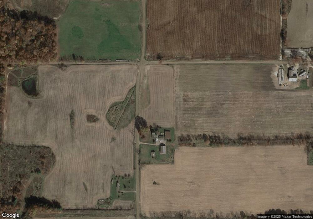
Map
Nearby Homes
- 13551 Hillsdale Rd
- 13791 E Diane Dr
- 13857 E Diane Dr
- 14165 Crampton Rd
- 4002 & 4014 Meadowlawn Dr
- 14621 Laura Ln
- 14600 W Diane Dr
- 14667 Roberts Ct
- 4324 Oak Glen Dr
- 14401 Woodbridge Rd
- 11794 Clark Rd
- 4610 Wynnewood Dr
- 14934 Heather Ct
- 12471 Crampton Rd
- 623-624 Yuma Trail
- 5311 E Burt Rd
- 155 Navajo Trail
- 362 Wasco Trail
- 131 Choctaw Trail
- 199 Shoshone Trail
- 2265 Buckeye Rd
- 14441 Frontier Rd
- 2400 Buckeye Rd
- 14521 Frontier Rd
- 1625 Buckeye Rd
- 13570 Frontier Rd
- 2633 Buckeye Rd
- 14671 Frontier Rd
- 15150 Frontier Rd
- 13391 Frontier Rd
- 14860 Frontier Rd
- 1700 E Cellars Rd
- 2961 Buckeye Rd
- 2890 Buckeye Rd
- 14222 Grass Lake Rd
- 14200 Grass Lake Rd
- 1940 E Territorial Rd
- 1550 E Cellars Rd
- 2211 E Territorial Rd
- 14440 Grass Lake Rd