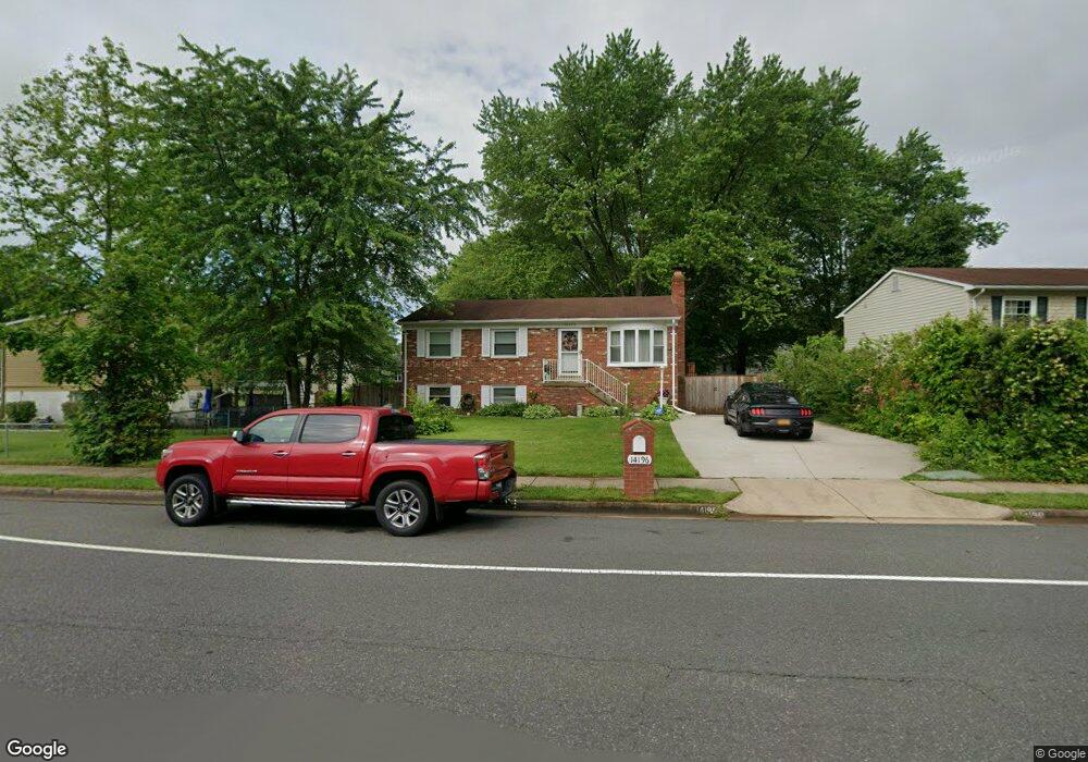
14196 Mapledale Ave Woodbridge, VA 22193
Mapledale NeighborhoodEstimated Value: $489,000 - $512,759
4
Beds
4
Baths
1,755
Sq Ft
$283/Sq Ft
Est. Value
About This Home
This home is located at 14196 Mapledale Ave, Woodbridge, VA 22193 and is currently estimated at $497,190, approximately $283 per square foot. 14196 Mapledale Ave is a home located in Prince William County with nearby schools including Enterprise Elementary School, C.D. Hylton High School, and Stuart M. Beville Middle School.
Ownership History
Date
Name
Owned For
Owner Type
Purchase Details
Closed on
May 28, 2004
Sold by
Paiva Joao
Bought by
Celis Edgar and Celis Copelotti,Georgianna
Current Estimated Value
Home Financials for this Owner
Home Financials are based on the most recent Mortgage that was taken out on this home.
Original Mortgage
$212,000
Outstanding Balance
$103,216
Interest Rate
5.94%
Mortgage Type
New Conventional
Estimated Equity
$393,974
Purchase Details
Closed on
May 6, 2003
Sold by
Mcginn Robert J
Bought by
Paiva Joao
Home Financials for this Owner
Home Financials are based on the most recent Mortgage that was taken out on this home.
Original Mortgage
$183,600
Interest Rate
5.82%
Mortgage Type
New Conventional
Create a Home Valuation Report for This Property
The Home Valuation Report is an in-depth analysis detailing your home's value as well as a comparison with similar homes in the area
Home Values in the Area
Average Home Value in this Area
Purchase History
| Date | Buyer | Sale Price | Title Company |
|---|---|---|---|
| Celis Edgar | $265,000 | -- | |
| Paiva Joao | $229,500 | -- |
Source: Public Records
Mortgage History
| Date | Status | Borrower | Loan Amount |
|---|---|---|---|
| Open | Celis Edgar | $212,000 | |
| Previous Owner | Paiva Joao | $183,600 |
Source: Public Records
Tax History Compared to Growth
Tax History
| Year | Tax Paid | Tax Assessment Tax Assessment Total Assessment is a certain percentage of the fair market value that is determined by local assessors to be the total taxable value of land and additions on the property. | Land | Improvement |
|---|---|---|---|---|
| 2025 | $4,040 | $444,000 | $144,800 | $299,200 |
| 2024 | $4,040 | $406,200 | $134,800 | $271,400 |
| 2023 | $4,093 | $393,400 | $132,100 | $261,300 |
| 2022 | $4,159 | $375,500 | $122,200 | $253,300 |
| 2021 | $4,223 | $343,500 | $110,000 | $233,500 |
| 2020 | $4,464 | $288,000 | $103,800 | $184,200 |
| 2019 | $4,421 | $285,200 | $99,800 | $185,400 |
| 2018 | $3,286 | $272,100 | $96,800 | $175,300 |
| 2017 | $3,177 | $254,200 | $91,300 | $162,900 |
| 2016 | $3,049 | $246,000 | $88,700 | $157,300 |
| 2015 | $2,806 | $234,700 | $85,800 | $148,900 |
| 2014 | $2,806 | $220,900 | $83,300 | $137,600 |
Source: Public Records
Map
Nearby Homes
- 14010 Mapledale Ave
- 14160 Landon Ln
- 14072 Oxbridge Inn Ct
- 13918 Lynhurst Dr
- 14288 Lindendale Rd
- 5655 Roundtree Dr
- 5611 Roundtree Dr
- 13871 Langstone Dr
- 14536 General Washington Dr
- 5322 Sentry Ln
- 14591 Estate Dr
- 14371 Salsbury Ct
- 5678 Roundtree Dr
- 14368 Springbrook Ct
- 13737 Moccasin Ct
- 14297 Felty Place
- 5308 Macwood Dr
- 5242 Sudberry Ln
- 13707 Mapledale Ave
- 4690 Pearson Dr
- 14194 Mapledale Ave
- 14200 Lindendale Rd
- 14202 Lindendale Rd
- 5275 Miles Ct
- 5273 Miles Ct
- 5277 Miles Ct
- 5271 Miles Ct
- 14197 Mapledale Ave
- 5279 Miles Ct
- 14114 Lindendale Rd
- 14195 Mapledale Ave
- 5281 Miles Ct
- 14206 Lindendale Rd
- 14201 Lindendale Rd
- 14193 Mapledale Ave
- 14203 Lindendale Rd
- 14205 Lindendale Rd
- 14138 Morrison Ct
- 5283 Miles Ct
- 14136 Morrison Ct