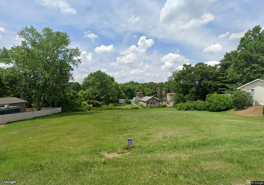
142 3rd St SE Barberton, OH 44203
East Barberton Neighborhood
3
Beds
1
Bath
964
Sq Ft
0.44
Acres
About This Home
This home is located at 142 3rd St SE, Barberton, OH 44203. 142 3rd St SE is a home located in Summit County with nearby schools including Barberton Intermediate School 3-5, Barberton Middle School, and Barberton High School.
Ownership History
Date
Name
Owned For
Owner Type
Purchase Details
Closed on
Sep 29, 2010
Sold by
Gnap Bernard M
Bought by
The Barberton Historical Society
Purchase Details
Closed on
Sep 8, 2009
Sold by
Sporn J Dean
Bought by
Gnap Bernard M
Purchase Details
Closed on
Nov 14, 1997
Sold by
American General Finance
Bought by
Sporn J Dean
Home Financials for this Owner
Home Financials are based on the most recent Mortgage that was taken out on this home.
Original Mortgage
$23,900
Interest Rate
7.43%
Mortgage Type
Commercial
Create a Home Valuation Report for This Property
The Home Valuation Report is an in-depth analysis detailing your home's value as well as a comparison with similar homes in the area
Home Values in the Area
Average Home Value in this Area
Purchase History
| Date | Buyer | Sale Price | Title Company |
|---|---|---|---|
| The Barberton Historical Society | -- | Johnson & Parrish Title | |
| Gnap Bernard M | $52,000 | Johnson & Parrish Title | |
| Sporn J Dean | $29,900 | -- |
Source: Public Records
Mortgage History
| Date | Status | Borrower | Loan Amount |
|---|---|---|---|
| Previous Owner | Sporn J Dean | $23,900 |
Source: Public Records
Tax History Compared to Growth
Tax History
| Year | Tax Paid | Tax Assessment Tax Assessment Total Assessment is a certain percentage of the fair market value that is determined by local assessors to be the total taxable value of land and additions on the property. | Land | Improvement |
|---|---|---|---|---|
| 2025 | $17 | $13,937 | $13,937 | -- |
| 2024 | $17 | $13,937 | $13,937 | -- |
| 2021 | $35 | $8,880 | $8,880 | $0 |
| 2020 | $35 | $8,880 | $8,880 | $0 |
| 2019 | $304 | $8,880 | $8,880 | $0 |
| 2018 | $35 | $8,880 | $8,880 | $0 |
| 2017 | $11 | $8,880 | $8,880 | $0 |
| 2016 | $11 | $8,880 | $8,880 | $0 |
| 2015 | $11 | $8,880 | $8,880 | $0 |
| 2014 | $570 | $8,880 | $8,880 | $0 |
| 2013 | $556 | $8,880 | $8,880 | $0 |
Source: Public Records
Map
Nearby Homes
- 327 Robinson Ave
- 6 5th St NE
- 43 S Van Buren Ave
- 25 S Van Buren Ave
- 414 E Baird Ave
- 477 Robinson Ave
- 251 Slate Ridge Dr
- 311 Holly Place
- 588 Austin Dr
- 357 E Paige Ave
- 1110 Mansion Dr
- 349 E Hopocan Ave
- 650 E Tuscarawas Ave
- 344 E Huston St
- 369 Big Bend Cir
- 375 Big Bend Cir
- 64 Diamond Ave
- 532 Washington Ave
- 46 Brown St
- 681 E Paige Ave
- 132 3rd St SE
- 122 3rd St SE
- 139 2nd St SE
- 162 3rd St SE
- 149 3rd St SE
- 157 3rd St SE
- 112 3rd St SE
- 174 3rd St SE
- 105 2nd St SE
- 102 3rd St SE
- 101 2nd St SE
- 177 3rd St SE
- 182 3rd St SE
- 365 Portsmouth St
- 365 369 Portsmouth Ave
- 368 Portsmouth St
- 101-105 2nd St SE
- 381 Portsmouth St
- 192 3rd St SE
- 380 Portsmouth St
