142 Allen Ln Palmerton, PA 18071
Estimated Value: $415,000 - $760,000
3
Beds
3
Baths
1,879
Sq Ft
$280/Sq Ft
Est. Value
About This Home
This home is located at 142 Allen Ln, Palmerton, PA 18071 and is currently estimated at $525,731, approximately $279 per square foot. 142 Allen Ln is a home with nearby schools including Pleasant Valley Elementary School, Pleasant Valley Intermediate School, and Pleasant Valley Middle School.
Ownership History
Date
Name
Owned For
Owner Type
Purchase Details
Closed on
Jul 28, 2011
Sold by
Snyder John H and Snyder Marian L
Bought by
Lawson Donald Morgan
Current Estimated Value
Home Financials for this Owner
Home Financials are based on the most recent Mortgage that was taken out on this home.
Original Mortgage
$90,000
Outstanding Balance
$62,169
Interest Rate
4.52%
Mortgage Type
New Conventional
Estimated Equity
$463,562
Purchase Details
Closed on
Nov 4, 2005
Sold by
Snyder John H and Snyder Marian L
Bought by
Snyder John H and Snyder Marian L
Create a Home Valuation Report for This Property
The Home Valuation Report is an in-depth analysis detailing your home's value as well as a comparison with similar homes in the area
Home Values in the Area
Average Home Value in this Area
Purchase History
| Date | Buyer | Sale Price | Title Company |
|---|---|---|---|
| Lawson Donald Morgan | $283,000 | None Available | |
| Snyder John H | -- | None Available |
Source: Public Records
Mortgage History
| Date | Status | Borrower | Loan Amount |
|---|---|---|---|
| Open | Lawson Donald Morgan | $90,000 |
Source: Public Records
Tax History Compared to Growth
Tax History
| Year | Tax Paid | Tax Assessment Tax Assessment Total Assessment is a certain percentage of the fair market value that is determined by local assessors to be the total taxable value of land and additions on the property. | Land | Improvement |
|---|---|---|---|---|
| 2025 | $1,345 | $212,270 | $65,250 | $147,020 |
| 2024 | $976 | $212,270 | $65,250 | $147,020 |
| 2023 | $6,046 | $212,270 | $65,250 | $147,020 |
| 2022 | $5,871 | $212,270 | $65,250 | $147,020 |
| 2021 | $5,737 | $212,270 | $65,250 | $147,020 |
| 2020 | $5,360 | $212,270 | $65,250 | $147,020 |
| 2019 | $4,897 | $27,930 | $4,290 | $23,640 |
| 2018 | $4,841 | $27,930 | $4,290 | $23,640 |
| 2017 | $4,841 | $27,930 | $4,290 | $23,640 |
| 2016 | $714 | $27,930 | $4,290 | $23,640 |
| 2015 | -- | $27,930 | $4,290 | $23,640 |
| 2014 | -- | $27,930 | $4,290 | $23,640 |
Source: Public Records
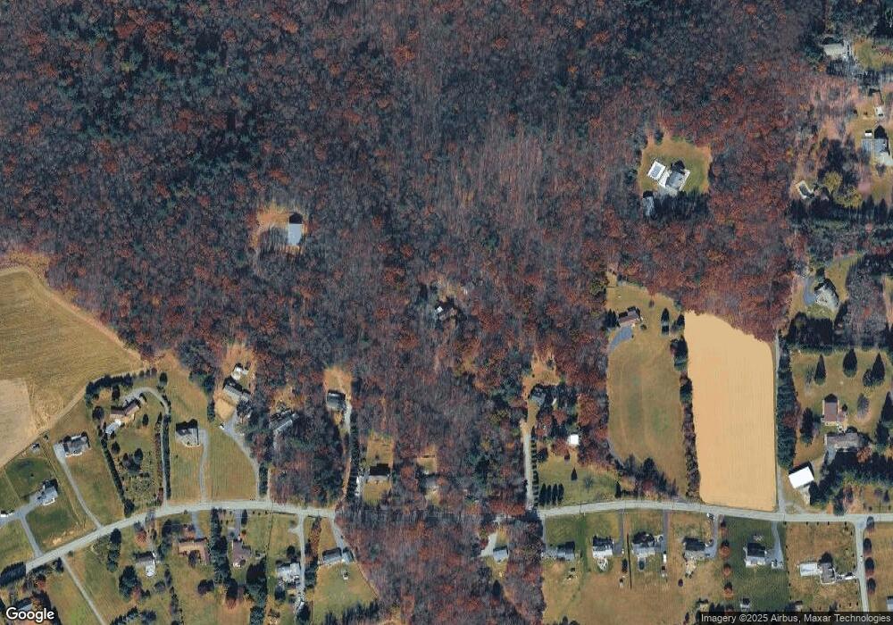
Map
Nearby Homes
- 969 Hideaway Hill Rd
- 157 Viewtop Rd
- 150 Red Oak Dr
- Lot 32 Greenview Ct
- 1101 Red Fox Ct Unit Ct 9
- 2 T425
- 209 Floyd Dr
- 0 T425
- 90 Halina Way
- 85 Panorama Cir
- 125 Hillview Rd
- 207 Scenic Dr
- 229 Deer Path
- CO Line Forest Dr
- 0 Sr 209 Unit PM-130225
- 2650 57 Rd
- 0 Victoria Arms Cir Unit PM-133039
- 1182 Quail Rd
- 160 Grassy Rd
- 295 Hty Rd